The Giant Among Us
UCSB Launches the 2025 Long Term Development Plan

While we in the Goleta Valley dispute endlessly about even the smallest project, a giant on our borders is moving and flexing its muscles. UCSB will soon be launching its 2025 Long Range Development Plan. (See www.ucsbvision2025.com .)
UCSB is the economic engine that has driven economic growth in Goleta since it first moved to the old Marine air base in 1954. If the campus had stayed in Santa Barbara or found a home in Carpinteria instead, the history of Goleta and the South Coast would have been very different. A prestigious university promotes growth not only by its inherent needs, but also by attracting high-tech research industries that flourish in its proximity. It brings great benefits to the community economically, intellectually, and artistically.
But there are costs as well. While its main purpose is academic excellence, as it has grown, the university has become a land use developer, both by design and by creating opportunities for private developers. This has resulted in major impacts, both good and bad, on the surrounding communities. Traffic, housing, and the environment have all been affected.
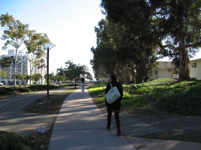
When my husband and I first came here in 1956 – and he took a job in the UCSB faculty – Isla Vista had dirt roads, small, family-built houses on big lots, one grocery store, and a couple of fraternity houses. The debate then was whether the University of California Santa Barbara College, as it was then known, should remain a small liberal arts college of around 2,000 students or become a full University of California campus. Population growth and the expansion of the UC system quickly overran that debate and UCSB was born. Student apartment buildings soon sprouted throughout Isla Vista. Today, UCSB has an enrollment of 20,000 students.
The administration has already made presentations of the UCSB 2025 Long Range Development Plan (LRDP) to many groups throughout the community. Enrollment is projected to increase by 1 percent a year to 25,000. Faculty and staff will grow concurrently by about 340 and1,400, respectively. While there have always been tensions in university communities between town and gown, the major impacts of UCSB’s growth on its neighbors relate to housing, traffic, and public safety.

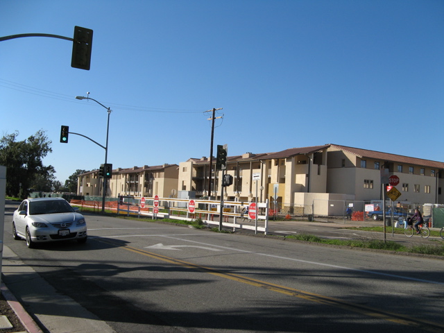
The university currently provides housing for 30 percent of its students; this is projected to increase to 50 percent by 2025. Also planned are 1,800 units of housing for faculty and staff. The new housing will be either on, or within a mile of campus. Most sites are buffered from established neighborhoods, though the faculty housing site off Phelps Road generated very strong local opposition. One intriguing proposal is to create a mixed-use housing and commercial avenue on Ocean Road on the western border of the campus, adjacent to Isla Vista.
The proximity of housing to the campus will help reduce the traffic impacts. A 2002 survey showed that 70 percent, or 14,000 students, bike or walk to campus. Even so, 21 percent commute alone by car and only 6 percent take the bus. An additional 5,000 to 7,000 students and staff and their families will undoubtedly result in increased traffic impacts. It is good then to see a commitment by the university to “work closely with adjacent jurisdictions to design, fund, and build a superior infrastructure.” There are plans for road improvements and bike paths to the campus, with added East-West connections from Storke Road and Los Carneros, and bike and pedestrian entrances from Isla Vista.
Public safety will be provided by campus police on all university properties and the County Fire Department is currently negotiating terms for its coverage of UCSB.
The university, as a state institution, is not subject to local planning jurisdiction. However, it must comply with state environmental law and needs approvals from the California Coastal Commission. The LRDP and Environmental Impact Report (EIR) are due to be released in mid-March. (See here for the initial study.) There follows a 45-day written comment period, with a public hearing toward the end of April. This is the main opportunity for local input. The Grapevine will calendar the hearing dates as soon as they are known so that people can attend and voice their issues and concerns.