
Evacuation Order for La Brea Fire
Warning upgraded to mandatory order for ranches

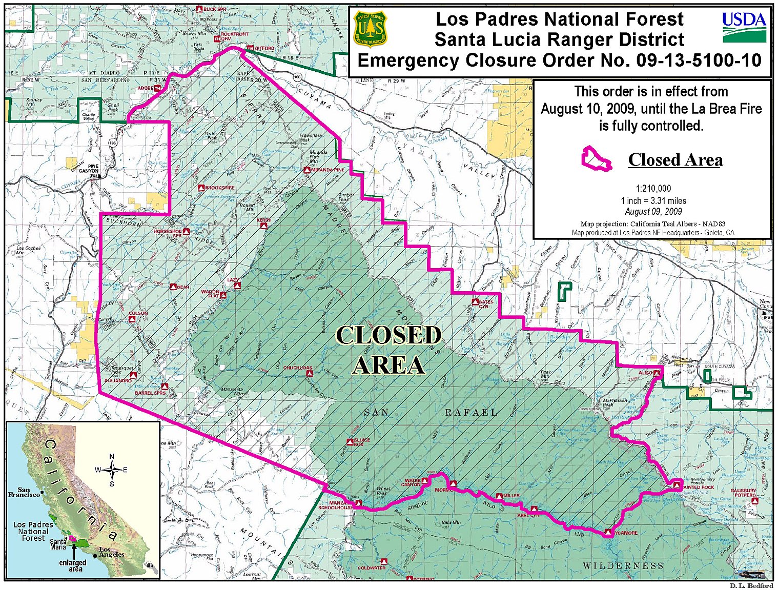
The following comes from Los Padres Forest Service incident command:
Effective at 2:00 p.m., Tuesday, August 11, 2009, an Evacuation Order was issued by the Santa Barbara County Sheriff’s Office for the following areas due to fire activity of the La Brea Fire:
• Western Boundary: Sierra Madre Road
• Southern Boundary: Cottonwood Road
• Eastern Boundary: Highway 166
• Northern Boundary: Spoor Canyon
This area includes Moon and Eckert Canyons.
Fire officials contacted the 14 occupied ranches in the area last night and they are moving livestock as necessary. The majority of the area is very lightly populated.

The new mandatory Order replaces the previous Evacuation Warning for the same area issued earlier today. An Order is defined as instructing community members in a defined area to leave the area immediately due to a threat to life and property from an emergency incident.
In addition. the Evacuation Warning area is now moved to include areas bounded by Cottonwood Road and Wasioja Road, between Highway 166 and Sierra Madre Road. Evacuation Warning means people in the warning area need to be prepared to leave should the situation change.
Fire managers will alert the Sheriff Office if fire behavior in the future requires a change to the warning status.
Fire information is available at www.inciweb.org or on the County’s website, www.CountyofSB.org.
Or call the USFS Fire Information Line at (805) 961-5770 from 6:00 a.m. to 10:00 p.m.


