
Rain Needed — Any Storms Need Apply
S.B. County Stares Down the Barrel of a Potentially Historic Dry Winter

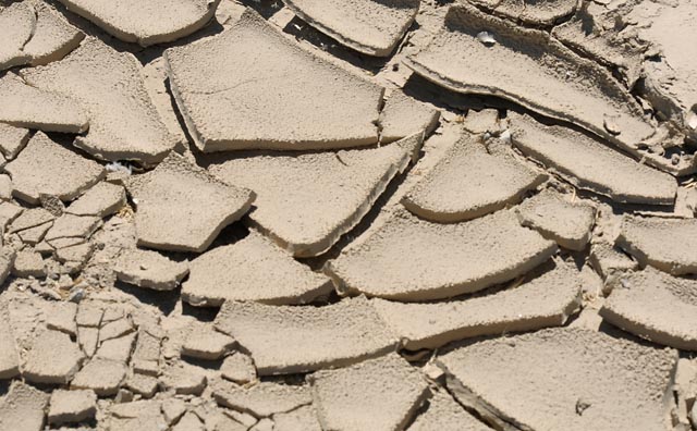
March has only just begun, but, if you didn’t have a calendar to set you straight, it would be easy to mistake the remarkably warm and dry weather along the South Coast recently for something much more likely to be found in late summer than late winter. Unfortunately, as enjoyable as it may be, these bluebird beach days are just the latest development in what is fast shaping up to be a brutally rain-deprived winter for all of Santa Barbara County, a meteorological twist of fate that is never good news around these parts. As Guy Tingos, Santa Barbara County’s assistant agriculture commissioner, put it Friday, “Most everyone, at this point, would like to see more rain, and soon. It is not a good situation this year, and we are getting pretty late in the game for both expected or beneficial rain.”
So just how dry is it? Well, according to the latest data from the county’s Flood Control District, we are at exactly 55 percent of our average annual rainfall totals while all of our reservoirs are running well below 70 percent of their capacity levels, a precarious set of tallies given that not only are the typically rain-challenged realities of spring fast approaching but also the overwhelming lion’s share of our precipitation fell back in November and December. In fact, January and February were so uncharacteristically dry throughout much of Southern California that the folks from the National Weather Service (NWS) down in Oxnard decided to do a little research early last week and see how the past two months stack up against Januaries and Februaries of years’ past.
It turns out that the 2.22 inches of rain that was measured at Santa Barbara Airport between New Year’s Day and February 28 of this year is more than five inches shy of the “normal” rainfall we should expect during that same period time, making 2013 thus far the 15th driest year to date since 1941. Similarly, as per the NWS report, Santa Maria is currently experiencing its 14th driest year since 1904. As NWS forecaster Ryan Kittell summed up, “It’s not the worst ever, but these numbers really paint a picture, and it isn’t pretty.”
Interestingly enough, as dry as it has been of late, this year’s rainy season started off, well, rainy. November saw eight days of rain, and December saw 16, a trend that went a long way to padding our current cumulative totals and setting the stage for the generally green and blooming paradise that is presently popping off all over the county. The problem is, however, that none of those storms were particularly potent — they all trended toward drizzling or rain-shower-only affairs rather than the deep soakers we typically rely on. None of them managed to even exceed the one-inch mark. “For Santa Barbara, that is definitely weak sauce,” opined Kittell.
In the two months since, save for a respectably sized system in late January, even the moisture-lite storms have all but stopped. Or, more accurately, they have stopped rolling through our neck of the woods. “We are actually seeing a normal number of storms [this winter],” said Kittell. “They just haven’t been tracking well for Santa Barbara or the rest of Southern California, really.” In a normal winter, a storm will roll out of the north Pacific and make its way south, charting a course west of the coastline in such a way that, by the time the storm reaches a level even with the Bay Area, the counterclockwise-spinning winds of the low pressure have drawn up so much moisture that they deliver a southeast-angled knockout punch of wind and rain to our south-facing coastline.
However, for reasons that remain largely unknown to even the most practiced of weather experts, that hasn’t been the case thus far for the 2012/13 rain season. “Basically, the systems we have had have pretty much all dropped down to the east, leaving places like Santa Barbara with dry cold air instead of the rain,” concluded Kittell. “It has certainly happened before, but it isn’t common, and, to be honest, from our understanding of the science, we don’t have a good explanation for it.”
What is known, however, is that all of this is bad news for fire risk, water supplies, and, perhaps above all else, most farming and ranching activities, the backbone of Santa Barbara County’s economy. And, while we are far from any sort official declaration of drought, if things don’t turn around soon, we could very well be there at some point this summer. And, to hear Tingos tell it, even if we don’t get to that point, it doesn’t mean that financial pain won’t be felt by folks who make a living off the land.
“It’s very concerning for everybody. There is no doubt we are significantly short of rain,” said Tingos, explaining how even a slight downturn in rain totals can equal major cost increases for cattle ranchers who have to replace a lack of grass with bulk hay purchases and growers who have to irrigate more than normal. Then there is the less obvious risk of what happens if we get the rain “too late,” an occurrence much like we had last year that can cause mildew, muck up early season harvests with mud, and trigger fruit setting problems for big cash crops like wine grapes. “Once we get past mid-March or so, a big rain can actually be more of a detriment than a benefit for us,” Tingos went on.
In the meantime, some relief may be on the way in the days ahead. “It looks like we have an outside chance at some rain next week,” said Kittell last Friday. Specifically, based on the models as of press time, there is a 40 percent chance for some wet weather moving into the county on Wednesday, March 6. However this one, at least at this point, doesn’t look like the deluge-maker we need, cautioned Kittell. “Unfortunately, this system looks like it is just going to ride to the east once again,” he said.


