The History Behind Street Names
Salsipuedes and Quarantina Streets

Many things set Santa Barbara apart from other cities — its climate, its architecture, the Old Mission. The city’s street names could certainly be added to this list.
Shortly after Santa Barbara’s incorporation in the spring of 1850, the common council put out to bid the job of surveying the town to lay out a street grid. The council awarded the contract to Salisbury Haley, who began his survey early in 1851.
The newly minted streets would need names. In February 1851 the council appointed a committee of three distinguished citizens to the task. Joaquin Carrillo had been a member of the ayuntamiento, the pueblo’s governing body before incorporation, and would go on to a career on the judicial bench as both a county and district judge. Antonio Maria de la Guerra was the youngest son of Jose Antonio de la Guerra, builder of Casa de la Guerra and Santa Barbara’s most prominent citizen. He would later command Santa Barbara’s company of Union cavalry during the Civil War and also serve as mayor and state senator. The final member of the committee was attorney Eugene Lies, who would go on to the State Assembly.
The citizenry in 1851 was overwhelmingly Spanish-speaking. Official documents were written in Spanish. It is no surprise, then, that many of the names selected by the committee would be in Spanish. The committee decided that Santa Barbara’s street names should reflect something of the history, topography, and folklore of the area.
Sign up for Indy Today to receive fresh news from Independent.com, in your inbox, every morning.
Salsipuedes actually is a three-word phrase (sal si puedes) which translates to “leave if you can.” The lower portion of the street at one time skirted the east edge of a marsh, or estero, which dominated the topography of the lower Eastside. Laguna Street, two blocks to the west, also commemorates this wetland area, which would grow or shrink depending on climatic conditions. In addition, the upper portion of Salsipuedes ran through a small arroyo, where Santa Barbara High School’s Peabody Stadium is today. In short, the name recognizes that there were times when traversing Salsipuedes Street was no easy task; a newspaper writer in the 1920s mentioned it was still difficult. A portion of this street was renamed Calle César Chávez in 1997.
Quarantina Street, one block to the east of Salsipuedes, is a bit more of a mystery. First of all, it is not the Spanish word for quarantine, which is cuarentena. Early on there was a problem with alternative and creative spellings for a number of street names. In 1854 the council appointed Henry Carnes and Antonio de la Guerra to standardize the spellings. Quarantina apparently slipped through the cracks.
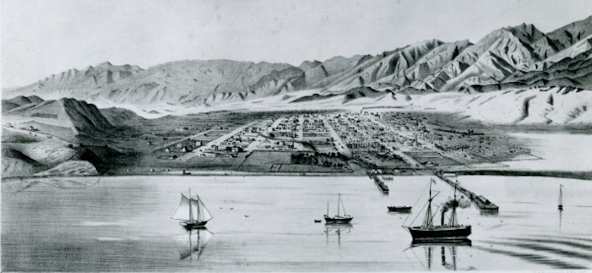
Supposedly, one or more ships were quarantined near the foot of the street — which ships and when is not known. Infectious diseases such as smallpox, cholera, and others presented real dangers during the Spanish and Mexican eras, and the Quarantina area, east of the estero, was considered a safe distance from the main anchorage in the State Street area.
Santa Barbara’s street names are a constant reminder of our community’s colorful past.
Support the Santa Barbara Independent through a long-term or a single contribution.