Ventura County Warns Residents of Debris Flow Risks
But 'Don't Wait For Us,' Says Sheriff's Official — 'Save Yourself'

On the fateful night of January 9th of this year, Patrick Maynard and other members of Ventura County’s emergency services team watched their monitors as early morning rainfall totals streamed in from gauges measuring a storm cell passing over Santa Cruz Island.
“Over Santa Cruz Island on that night we had rainfall in excess of 9/10ths of an inch an hour,” Maynard said at a recent public meeting in Oak View on debris flow risks. “That storm tracked towards Montecito. Had it turned a little right as it approached the coast, it would have tracked towards La Conchita.”
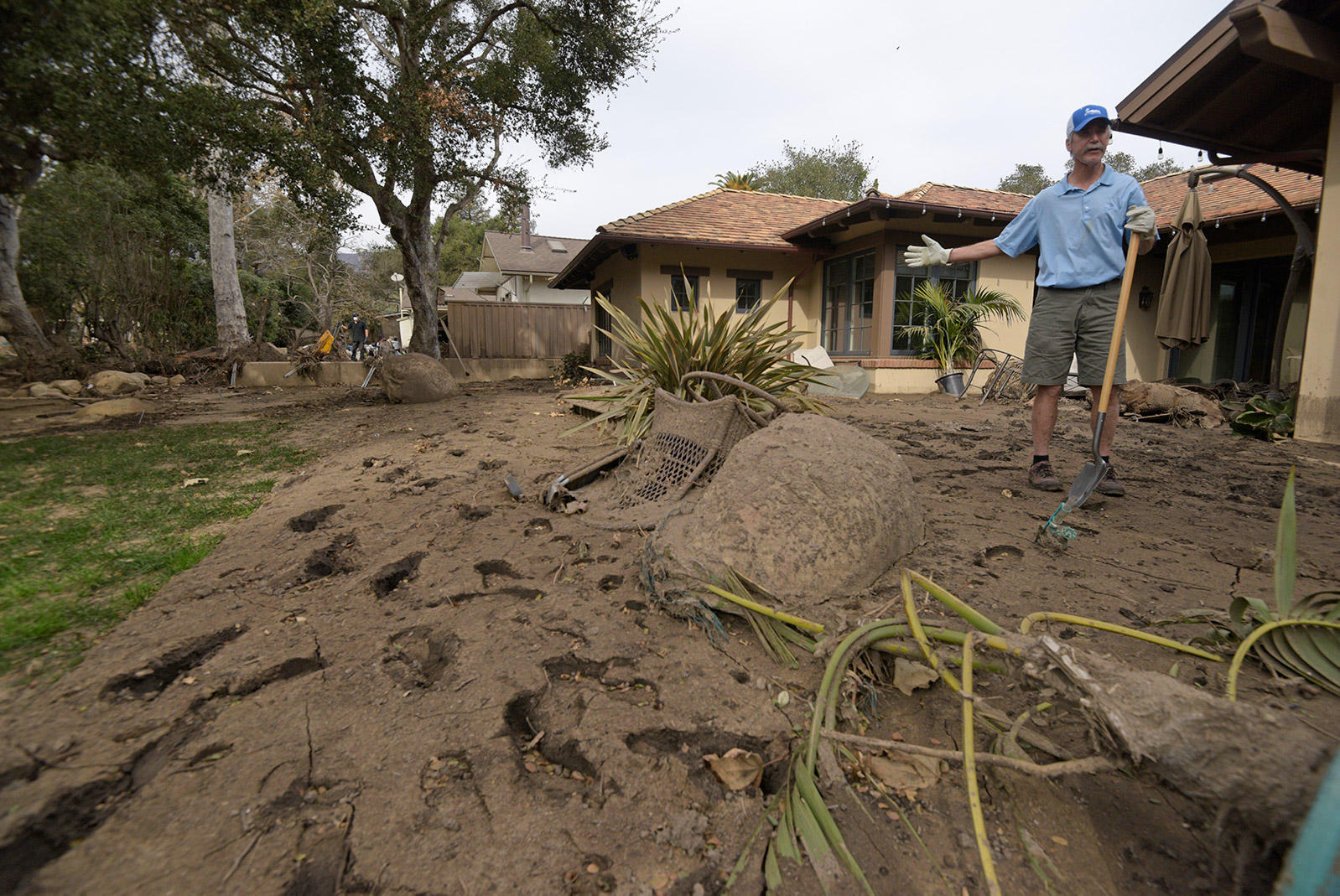
The downpours from that storm initiated debris flows that struck Montecito, killing 23 people and destroying well over 100 homes. Had the center of that storm moved slightly south, it could have impacted La Conchita, which following weeks of rain in 2005 was devastated by an enormous landslide on January 10 that killed 10 people and destroyed dozens of homes.
Ventura hydrologist Scott Holder said that the Montecito landscape — steep hillsides backing up to a national forest that suffered a historic burning in the Thomas Fire — has strong similarities to many landscapes in Ventura County.
“We have some of the same geological formations — a formation that runs from White Ledge north of Lake Casitas to the Topa Topa bluffs — that are exactly the same as seen in Montecito,” explained Holder. “The difference is that once you come off the hillsides in our county, we’re a lot further from the ocean, and the slopes flatten out significantly more. We don’t have a lot of development along the creeks, and there’s a lot more room for the debris as it comes down. The potential is there and it could happen, but we’re not likely to see a thirty-foot high debris flow.”
Nonetheless mindful of the risk, Ventura County emergency managers on January 8 issued a mandatory evacuation for the Matilija Canyon near Ojai, as well as for two less populated areas further north along Highway 33. Sheriff’s deputies went door-to-door in the beginning in the afternoon.
“Anyone who lives in Matilija Canyon knows that we had a flash flood that came down the canyon [on January 9],” Holder said. “It was the only spot in Ventura County that did, but we exceeded debris flow thresholds in the area, with over 6,000 cubic feet per second of water [in the creek].”
Maynard and other members of the emergency services team stressed the importance of county residents informing themselves, due in large part to the difficulty of flood forecasting.
“Rarely if ever will you receive an evacuation from us in advance of 24 hours,” he said. “Forecasting is an art, not a science. One model may say three inches of rain, another may say half an inch. As the storm approaches and the models come into agreement, that allows us to take a more serious look at the implications of an incoming storm.”
Sheriff’s Captain James Fryhoff, assigned to the Ojai station, stressed that residents of areas adjacent to the Thomas Fire burn zone need to be prepared to evacuate themselves, especially in areas like Upper Ojai known to be at risk for debris flows and road closures.
“We don’t have a crystal ball,” he said. “We are going to do our best to go door-to-door when we get a mandatory evacuation, but depending on the size of the storm and when it arrives, it may be a siren driving down your street. Don’t wait for us — save yourself.”
Although the county still plans to go door-to-door if necessary, for warnings and evacuations it increasingly focuses on signing residents up with its text and email based VC Alert service.
“We always mention that that’s our primary means of notifying folks today,” Maynard said. “During the Thomas Fire we had well over 20,000 folks sign up, and about 25,000 since, and that’s on top of our listed and unlisted phone notification system, which adds up to about 300,000 people in the county.”
Sergio Vargas, the deputy director of watershed planning for the county, stressed that residents should consider flood insurance if there is any possibility they could be impacted by debris flow or flooding. “The problem is not going to go away with the rainy season,” he said. “We expect that it will take at least five years for the watershed to recover from the Thomas Fire.”