New Guide to the Los Padres National Forest
Craig R. Carey's Hiking & Backpacking Santa Barbara & Ventura

Two years of weekends and vacation time, 722 miles of hiking, run-ins with bears and mountain lions, and one near-mauling by a golden eagle — that’s just a taste of what it took Ventura native and UCSB alum Craig R. Carey to produce Hiking & Backpacking Santa Barbara & Ventura, the definitive guide to hiking and backpacking the southern Los Padres National Forest, and the first comprehensive guide released in decades. He discussed his book with me last week.
How did you learn about the Los Padres?
I grew up hiking and backpacking all the local trails as a Boy Scout, and with my folks, and with my brothers, who are considerably older. When they were in high school, they’d go explore the Sespe, and they would drag me along with them. They were driving around like madmen, and I was, like, 8. We would spend pretty much the entire summer out. It wasn’t one of those summers where you watched a lot of TV or played video games. It was, “Hey, you’re going with your brothers for two weeks up to Pine Mountain.” [To which he responded,] “Okay mom.”
Why this book now?
When I moved back to town from Brooklyn, I was a little disappointed to find that the authority on the areas was still the old Dennis Gagnon guide, which is fantastic, but the book is older than I am. The last edition had been released before the Condor Range and Sespe River Protection Act, pre-1992 — none of the Chumash Wilderness was on there, the Sespe didn’t exist, Johnston Ridge was still a motorcycle trail. It was extremely outdated. The other guides that covered the area, they covered the backcountry as an afterthought, and the maps look like something their teenager did on PowerPoint.
What does your book bring to the table?
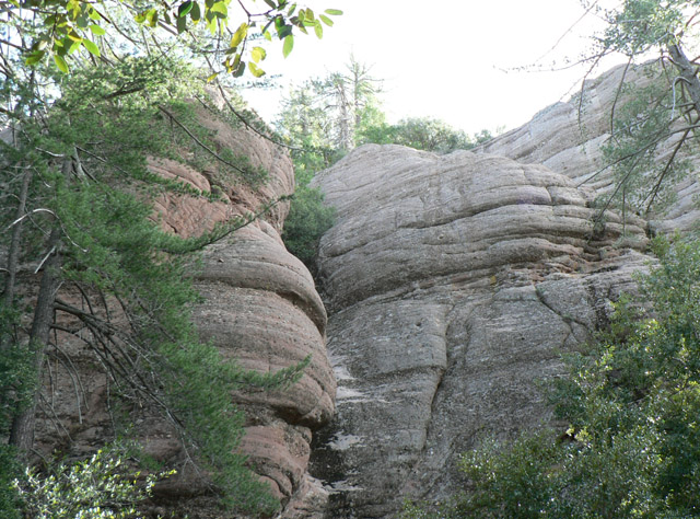
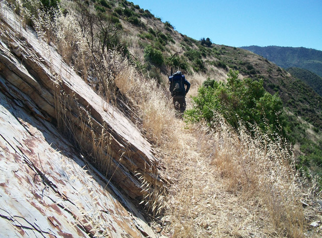
It covers all three southern ranger districts — Mt. Pinos, Santa Barbara, and Ojai. It covers not just the day trips or a few of the backcountry trails, but — with the exception of two — every official “system trail,” as [recently retired trail manager] Kerry Kellogg likes to call them, is covered if it’s in those three districts. It covers the dark corners of the forest, the things that only [backcountry expert] Mickey McTigue, [author] Ray Ford, and [mapmaker] Bryan Conant typically cover.
Do you think there’s a resurgence in backpacking?
I do. It’s a combination of things.
One, a lot of not just parents but people in general are feeling what Richard Louv calls the “nature deficit disorder.” They realize that they’re not getting out enough, and the easiest place to go, Adventure Pass or not, is the Los Padres National Forest. It’s accessible to all of us.
Plus, it’s extremely inexpensive. Despite all the budget cuts and some of these darker corners being brushed in and hard to hike, most of the frontcountry trails are in fantastic shape. It’s an easy way to get out, and get your kids out especially. Kids remember this stuff forever, and they may even write a book about it one day!
Is there any danger of the backcountry becoming too popular?
I don’t think so. Book or not, people are going. I remember as a kid, the forest had a lot more traffic, at least it seems like it did. The environmental concerns and the places we can’t drive because of running over a frog or a toad? I get that. But the forest has a lot of capacity for people as long as the people aren’t a bunch of knuckleheads, as long as people don’t leave junk everywhere, don’t knock down trees, and put out their fires.
Where are your favorite spots?
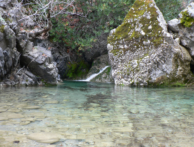
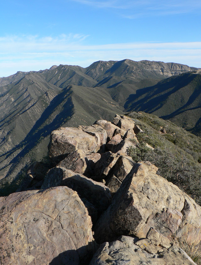
The north slopes of Pine Mountain — the whole Pine Mountain area to be honest — Piru Gorge, and the Chumash Wilderness. The Chumash definitely ranks in the top 1 percent. I like the high elevation conifers, and knowing I won’t run into poison oak.
Tell me more about the Chumash Wilderness. I’ve really only driven around it.
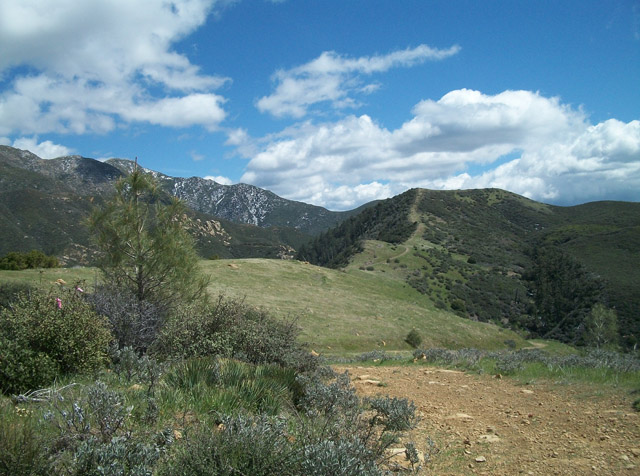
That’s pretty much all anybody does, drive around it. It’s small, like the Matilija or Machesna, and it’s only got officially four trails. But it’s got the highest points in the forest, and goes from Mt. Pinos at nearly 9,000 feet to Sawmill to Grouse to Mt. Abel, now called Cerro Noroeste. Peak baggers love it, because there are four peaks at nearly 9,000 feet that you can do in a span of four or five miles. The great thing I love about the Chumash, you can go off trail and just walk. There’s very little undergrowth. You can just wander. It’s lovely.
4•1•1
To learn more about Craig R. Carey and his new book, see craigrcarey.net.