Red Flag Warning Called for Thursday Evening

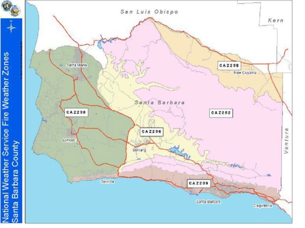
An expected combination of gusty winds and low relative humidity has led to a Red Flag Warning by the National Weather Service (NWS) for areas of Santa Barbara County from 6 p.m. Thursday to 10 a.m. Saturday. The areas at risk for high fire dangers are CAZ252, pink on the Fire Weather Zones map above, and CAZ239, the brown area along the South Coast.
In passes, canyons, and foothills, wind gusts could reach 40 mph tonight and 50 mph Friday. A thinning marine layer and high temperatures could cause record heat on Friday and Saturday, according to the NWS, reaching into the “century” mark away from the coast. Simultaneously, weather predictors forecast a monsoonal condition could produce showers or thunderstorms in the mountains, with cooler, humid conditions for Sunday.
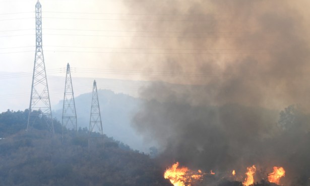
During a Red Flag Warning, conditions exist to promote the rapid spread of fire, should a wildfire break out. Precautions include using extreme caution if running machinery that can spark, calling 9-1-1 if smoke is seen, identifying exit routes from the neighborhood and evacuating promptly if asked to do so, and reporting suspicious persons or vehicles to law enforcement, County Fire advises at its website sbcfire.com.