Alisal Fire at 97 Percent Contained
Weather Forecast Predicts an Inch or Two of Rain
[Update: Oct. 20, 11 a.m.] As the Alisal Fire grows cold, the larger incident command that took over the fire last Thursday will hand over the management reins this evening to the Type 3 structure leading the fire when it broke out, namely the local U.S. Forest Service and Santa Barbara County Fire. The interagency command and its support staff will be headed to their home bases as of 7 p.m. today.
Their update this morning states that crews will be working in the oak woodland understory along West Camino Cielo above the Arroyo Hondo watershed and in the old Sherpa Fire scar to secure that edge. The total fire size, which increased by 27 acres this morning, was a result of more accurate mapping, not fire growth.
[Original Story]
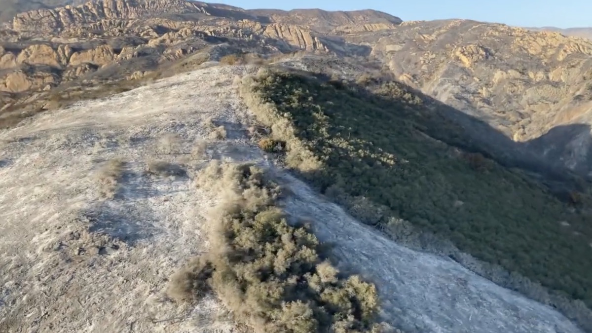
Firefighters have the Alisal Fire nearly completely surrounded as of Wednesday morning, reporting 97 percent containment, an increase of 4 percent from the night before. Some drizzle and lower temperatures have helped them stir up and drown the remaining smolders within the 17,281-acre burn scar over the past couple of days. There are 492 men and women still working to contain and manage the fire, many of them camping at state beaches along the 101. Motorists are warned to be careful of the quantity of fire trucks pulling onto the highway.
The fire situation has turned into a weather situation, as forecasts agree some rain is coming to Santa Barbara County. The quantity could be as small as an inch or as much as two inches as the front moves south from San Luis Obispo County on Sunday. Where the rain lands on the burn scar by Monday and how hard will determine if floods or debris flows occur.
Support the Santa Barbara Independent through a long-term or a single contribution.