Thursday Morning May Bring New Evacuation Orders
Be Prepared, Not Scared, Say Emergency Officials
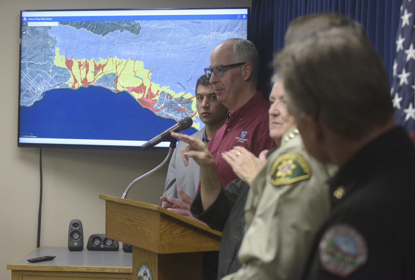
Rain is still expected to fall Thursday night into Friday morning across Santa Barbara County, but decision-makers are waiting on Thursday’s 6 a.m. weather update to decide whether or not to issue a mandatory evacuation order in the Thomas and Whittier Fire burn areas. Currently, a half-inch of rain per hour is predicted over Santa Barbara’s South Coast, which is enough to trigger a debris flow from the burned hillsides. But the next 12 hours will give a better idea of how much more or less intense the rain will be, and where it might land.
Though no mandatory order was being issued, the assembled emergency officials at the Wednesday afternoon press conference emphasized the need for vigilance and cooperation. Sign up to receive emergency notices at awareandprepare.org, they said; get your necessities and valuables together in one place; check for your address on the maps for evacuation and flood risk. In other words, be prepared, not scared.
Those with mobility difficulties were advised to consider evacuating early, whether or not called upon to do so, as were the owners of large animals. Earl Warren Showgrounds is the designated Red Cross shelter for all evacuees.
Sheriff Bill Brown stressed he did not want to alarm people unnecessarily, but the rain prediction was right on the cusp of the go, no-go criteria. The mountains were loaded with post-fire debris to a similar degree as before January 9, emergency operations chief Rob Lewin said, and the downstream debris basins and creeks had been almost entirely cleared. Montecito Fire Division Chief Kevin Taylor outlined similar preparations for increased fire personnel, equipment, and swift-water rescue as before the previous disaster.
The most rain will fall between midnight Thursday into 6 or 7 a.m. Friday, the National Weather Service’s Eric Boldt said. The trajectory is again up south-facing slopes, which will deliver heavy rain at times. Should enough rain fall that the 101 faces debris flows again, said Captain Cindy Pontes of the CHP, the plan is for evacuees to be well out of the way before the highway must close.
A list of hotels offering rates for storm evacuees is below.