

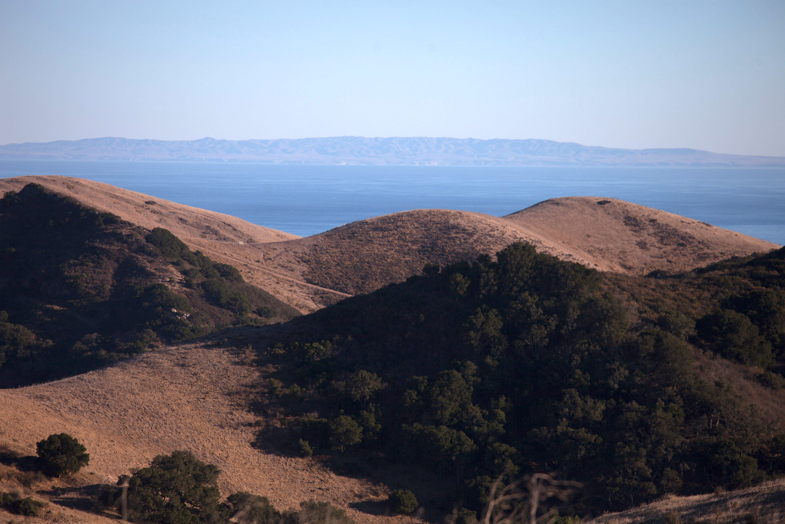
What if you could rewind a forest fire, fast-forward a coral bleaching event, or test drive a species reintroduction? The most powerful tool in modern conservation is no longer a drone, a GPS tracing device, or a geofence — it’s a digital twin. Digital twins give conservation scientists and practitioners a virtual mirror of the planet where they can experiment, fail, and fix things before reality catches up.
A digital twin is a dynamic, data-driven representation of a physical system. In GIS, most digital twins represent human systems like airports and cities. Around the world, these digital twins enable decision-makers to test solutions, get early warnings about problems, and prioritize where and when to invest resources.
But what about environmental systems that power the planet? These systems are under immense pressure from land use, rising sea levels, extreme weather, drought, floods, and more. Conserving nature and biodiversity requires bold, evidence-based decisions that benefit from accurate, real-time information about natural processes. This can aid understanding of how natural systems function and change and inform which interventions will be most effective for meeting conservation goals.
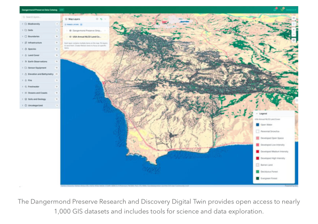
The Nature Conservancy’s (TNC) Point Conception Institute and the Center for Spatial Science at the University of California, Santa Barbara (UCSB), have partnered with Esri to create one of the first digital twins of nature at the Jack and Laura Dangermond Preserve — a 24,364-acre property owned and managed by TNC.
Now, this digital twin — with nearly 1,000 GIS data layers representing everything from hydrology and soils to wildlife, roads, and infrastructure — is available for anyone to access. It connects more than 120 research projects at 50 partner institutions focused on species recovery and managing healthy landscapes, seascapes, and watersheds.
The vision for the Dangermond Preserve Research and Discovery Digital Twin is to create a virtual environmental system that functions like a research lab, enabling data-driven decision-making in conservation based on spatial and temporal patterns. Similar to how molecular scientists use microscopes to see the unseeable, a digital twin of nature magnifies spatial processes to show the hidden architecture of ecosystems.
At the core of the Dangermond Preserve Research and Discovery Digital Twin is an automated data pipeline architecture that ingests continuous streams from Internet of Things (IoT) sensors, wildlife cameras, and third-party scientific APIs such as eBird and the Global Biodiversity Information Facility (GBIF).
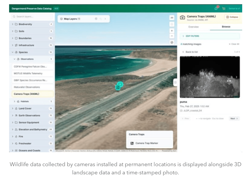
The Dangermond Preserve Research and Discovery Digital Twin is a living example of open science in action. By making data and GIS tools easily accessible, people around the world can participate in activities at the preserve. Anyone, anywhere can explore and use rich GIS data for interdisciplinary research or to teach topics ranging from wildlife conservation to hydrology to GIS.
The next phase of development for the digital twin will focus on running real-time analytics through ArcGIS Velocity and building dynamic visualization tools that allow users to highlight changes in spatial patterns over time. Analyses and visualizations will flag unexpected patterns in observed data, compare observed and modeled data, and assess various modeled outputs. The Dangermond Preserve Research and Discovery Digital Twin will also include a suite of tools for users to develop and run their own scientific models, allowing predictive solutions to be tested and deployed virtually before implementing them in the real world.
The Jack and Laura Dangermond Preserve’s wild coastline has supported a growing body of work on species recovery, translocations, and range shifts, highlighting the ecological implications of exploiting wildlife and coastal and marine resources. Now, paired with the Dangermond Preserve Research and Discovery Digital Twin, researchers and conservationists are prepared to accelerate the discovery and development of conservation solutions.
Amy Frazier is a professor and the Jack and Laura Dangermond Chair of Conservation at UCSB. Trisalyn Nelson is a professor and the Jack and Laura Dangermond Chair of Geography at UCSB, as well as the director of the university’s Center for Spatial Science. Will Overbye-Thompson is a GIS researcher at UCSB and a GIS developer with the Center for Spatial Science. Dan Willett is a PhD student at UCSB and a GIS developer with the Center for Spatial Science. At TNC’s Point Conception Institute, Sophia Leiker is the spatial data science associate, Kelly Easterday is the director of conservation technology, and Mark Reynolds is the director.


You must be logged in to post a comment.