
Natural Highs on the Jack and Laura Dangermond Preserve
An Earth Day Update Five Years After Gaviota Coast Ranch Saved
By Keith Hamm | April 21, 2022

Under the bright blue of a breezy April morning, the Jack and Laura Dangermond Preserve was awash in the rolling green, woodland gray, and springtime yellow classic to the Gaviota Coast. Laura Riege was at the wheel along Jalama Road, a curvy ribbon of asphalt through the heart of the preserve, its nearly 25,000 acres fanning out from Point Conception along maritime terraces before climbing un-fragmented through the westernmost canyons and ridges of the Santa Ynez Mountains. First stop: Ramala Field, a flat expanse of former farmland surrounded by hillsides of mature oaks. Riege pulled through a gate to one of her project sites — you might say she’s checking on her babies.
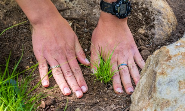
Once a bean field, the 120-acre space is now home to roughly 4,000 young oak trees, each grown from an acorn or transplanted from a nearby woodland. As the restoration manager, it’s Riege’s job to orchestrate the conversion of abandoned agricultural acreage into landscapes more befitting this nature preserve.
Ramala West is the biggest of five such sites, all fenced with hog wire to keep out destructive rooting by feral pigs, and each tree — more than 6,000 in all — is carefully planted in a gopher basket and caged early on to protect against browsing deer and rabbits. “One of the coolest parts about this restoration site is that you can see it from Jalama Road,” Riege said. “That’s important, I think, for the public to be able to connect to what’s going on out here.”

Oak restoration is among dozens of long-term projects unfolding across the preserve since December 2017, when The Nature Conservancy purchased the property with a $165-million donation from billionaires Jack and Laura Dangermond. Their company, Esri, pioneered digital mapping and analytics and is the source of their wealth.
In environmental circles, the transfer of the property to one of the largest nonprofit conservation organizations in the world was met with astonished relief. During the previous decade, representatives of its owner at the time — Boston-based hedge fund The Baupost Group — moved aggressively to develop the property, mainly digging dozens of wells and grading miles of dirt roads. Among violations detailed by the California Coastal Commission, the unpermitted work damaged Native American sites and critical habitat for rare and endangered plants and animals. Facing substantial fines and massive cleanups — and hotly renewed public scrutiny — Baupost unloaded the property.
With the Dangermonds’ donation, The Nature Conservancy (TNC) assumed control of one of the planet’s most unique and widely untouched biodiversity hotspots, right here on the edge of sunny Southern California. But it also took on a long list of mitigations mandated by one of the state’s most powerful regulatory agencies.
Five years in, the Independent reached out to preserve leadership for an update. They responded with introductions to many of the scientists performing groundbreaking work on the Dangermond, plus an invitation to tour the property. Just in time for Earth Day.
Meeting & Greeting

The original Rancho Jalama barn is now a headquarters of sorts for the science and educational programming happening on the preserve. It’s there where Riege and I, along with photographer Ingrid Bostrom, met up with interim director Michael Bell (who was instrumental in brokering the deal between TNC and the Dangermonds), preserve scientist Elizabeth Hiroyasu, archeologist and Chumash tribal descendant Brian Holguin, and Rae Wynn-Grant, a specialist in large carnivore ecology.
We piled into a couple of pickups and set out to see a short section of Jalama Creek where an old concrete slab messes with the migrations of steelhead trout. It’s gotta go, Riege said. Her plan will replace the slab with a gently sloping rocky ramp more akin to a natural creek bed. There’s another concrete obstruction downstream that needs to get torn out too. “As far as endangered species go, this is critical habitat,” she said. “[The restoration] will benefit red-legged frogs, western pond turtles, and steelhead.”
Through a gate to a dirt road, we climbed into the deep greens and grays of a mid-mountain forest of ancient coast live oaks. Along the way, we passed a pair of 200-pound pigs lolling in the dust next to half a dozen cows, each with a spring calf. Before Baupost bought it in 2007 (for $136 million), the property belonged to the Bixby family, who ran it as a cattle operation for 100 years across the historic Cojo-Jalama, also referred to as the Bixby Ranch. Today, the herd head count is roughly 500. “Wildfire is a huge concern,” Riege said, “and cattle can play a role in prevention.” That’s because they eat tall grasses, and Riege also plans to let cows onto Ramala Field temporarily to “flash graze” tall weeds around her young oaks.
We paused for a quick lunch and a short walk to the forest edge and a wide view of the Jalama Creek watershed, from the faraway mountaintops to the estuary at Jalama Beach County Park. While the rest of us stared at waves and whitecaps, Holguin, who grew up on Paradise Road in Los Padres National Forest, reached down to uproot a blue dick, revealing the onion-like edible bulb, a common Chumash food source. He also pointed to a soap plant, the roots of which, once pulverized, can be added to pools of still water along a creek to incapacitate fish, which are then easily netted. (To learn about Holguin’s archeological work on the preserve, see the Sacred Ground Revisited sidebar.)
Working on Water

Back on the dirt road, we passed a handful of the 37 wells drilled illegally by the previous owner. Instead of decommissioning the wells, the plan calls for after-the-fact permitting aligned with the preserve’s conservation goals. Keeping cattle out of the creeks is on that list, but on a bigger scale, some of the wells have been outfitted to monitor the Jalama Creek watershed, 94 percent of which is on the preserve property. “We’re trying to understand the groundwater and learn about fresh water availability,” said Scott Jasechko, an assistant professor of water resources with UCSB’s Bren School of Environmental Science & Management.
Studying half a dozen tributaries, Jasechko and his team have so far discovered that the underground water is interconnected with many of the streams, enabling them to flow year-round. Through carbon dating, they’ve also found that some of the groundwater is ancient — essentially, it’s rain from 1,000 years ago. Looking ahead, he’d like to study how big storms replenish aquifers. “What a helpful resource these wells have been,” he added. “Such a boon to be able to use this network.”
Big Beasts and Ice Plant
Next stop: Down to the coast at Government Point, where Riege had recently spotted the remains of a seal or sea lion dragged from the beach into the vegetation of a shallow wash. This news was another fascinating anecdote fueling the work of Dr. Wynn-Grant, hired by UCSB’s Bren School to study the preserve’s black bears and mountain lions. So far, she’s set up a handful of trail cams in an attempt to capture the animals using the ocean as a source of food. “One of my biggest questions will be: Have they always been doing this or is it an adaptation?” she said. (For more, see the Lions and Bears on the Beach? sidebar.)
Our last stop of the day centered on Riege’s biggest restoration project: the removal of ice plant surrounding Point Conception. Likely planted long ago by Union Pacific to stabilize embankments along the railroad line through the property, the invasive succulent crowds out native plants and disrupts the wind-blown flow of sand from the west-facing beaches above of Point Conception to the south-facing beaches below. That sand dynamic is called a headland dune bypass system, and it’s partially responsible for nourishing sandy beaches down the coast. Like those concrete obstructions along Jalama Creek, this ice plant has got to go. Here at the point, The Nature Conservancy is required to restore native habitats after removing 300 acres of ice plant.
“But that’s just the first bit,” Riege added. Once she dials in the most efficient and cost-effective way to get the job done, her plan scales up to 1,000 acres of ice plant removal and habitat restoration. “This project is going above and beyond.”
Oak Tree Dashboard
The Nature Conservancy’s Oak Restoration Dashboard keeps real-time information on the project, with updates on each individual tree planted. See tinyurl.com/dpoaks.

Will the Public Ever Visit Dangermond Preserve?
A Q&A with Michael Bell and Mark Reynolds, Leaders of the Gaviota Coast Ranch
The following interview was conducted via email with the preserve’s interim director Michael Bell and Mark Reynolds, who leads the preserve’s Point Conception Institute, an enterprise focused on research partnerships, data sharing, and technological advancements in conservation. Bell and Reynolds collaborated on their answers, which have been edited for length and clarity.
The Jack and Laura Dangermond Preserve is a privately owned nature preserve. What does that mean for general public access?
Bell and Reynolds: As one of the last remaining wild coastal areas in the region and a sensitive biodiversity hotspot, the preserve has a special responsibility of providing societal benefit for current and future generations, of which public access programs are a component but not the only focus. The [preserve’s] cultural history and ecological context are important [to consider].
How so? The Southern California coastal ecoregion — roughly the stretch of land from Ensenada, Mexico, to Point Conception and reaching approximately 40 miles inland — hosts coastal Mediterranean habitat, an extraordinary biodiversity hotspot, and irreplaceable natural systems known nowhere else in the world. Unfortunately, the continued survival of the great diversity of plants and animals of this region is far from assured.
We are living through the sixth global extinction event, the first mass extinction in the history of Earth attributable to human activity. A report by the United Nations projects the extinction of approximately one million species by 2050 if more action is not taken. Due to a lack of extensive protected essential habitat, highly developed and populated regions — such as coastal Southern California — may experience a disproportionate share of loss of natural richness and diversity.
That’s where conservation comes in? Conservation’s primary strategy to abate the threat of species extinction is the direct protection of nature. [This is] especially important in regions like the Southern California ecoregion, where vast amounts of habitat have been lost and what remains is significantly under-protected compared with other regions.
What are the numbers? Of the total population of 38.4 million in California, 26.3 million people live in coastal [areas], especially concentrated in the southern portion of the state. Recent analyses by TNC [The Nature Conservancy] and others reveal that in Southern California, 55 percent of the coastal land is in urban or suburban development, 6 percent is dedicated to agriculture, and 20 percent of the undeveloped coastline is primarily dedicated to [intensive] recreational use. Only 5 percent of the coastline of Southern California is managed for biodiversity and ecosystem protection.

While those land uses provide important values to humanity, it does not leave much room for nature to survive and adapt to the changing ecological conditions that climate change brings. In the face of growing threats from climate change and development, the protection of remaining core areas of high-quality natural habitat is essential to change the extinction trajectory in this region.
We’ve heard these “core areas” referred to as the “last, best places.” The “save the best of what’s left of nature” context was reflected in the input that stakeholders provided to the preserve’s management-planning process. It was also the context that inspired Jack and Laura Dangermond to provide the largest individual gift [$165 million] ever donated to TNC to acquire this property from development interests and inspired many other donors who continue to support the preserve.
This is also the same context in which the Santa Ynez Band of Chumash Indians signed a partnership agreement with TNC to work together on cultural resource management and programming. The sacred Chumash cultural resources of this region have experienced the same impacts that our ecological resources suffer from — and in the Dangermond, there’s the opportunity to preserve and learn from one of the most intact remaining cultural legacies.
Taking all that into consideration, what are the priorities? Within this larger ecological context, and considering community and participant input, our partnership with the Santa Ynez Band of Chumash Indians, and an assessment of constraints (such as remoteness, limited infrastructure, etc.), we have identified the following priorities:
-Protect the natural and cultural richness of this last wild coastal natural area of Southern California as a resilient coastal stronghold for future generations.
-Restore natural systems that have been altered and which can contribute to biodiversity resilience and survival in the face of growing threats from climate change and development.
-Develop the preserve’s programming with a focus on learning — to inform and inspire action of this and future generations in the fight against species extinction and climate change.
What’s all this mean in terms of public access? The Jack and Laura Dangermond Preserve was protected from development to be a nature preserve, and our responsibility is to ensure that any public programs are consistent with its mission and the need to protect its extraordinary “last-of-their-kind” natural and cultural resources.
In providing societal benefit, which includes access activities, there is a lot the Dangermond has already accomplished (and more in planning), despite some of the work being slowed by the pandemic.
What are the bullet points?
- Since acquiring the property, TNC has transferred 35 acres to Santa Barbara County, [more than doubling] the size of Jalama Beach County Park to improve public access opportunities [on that property].
- Under the leadership of [environmental education program manager] Diego Ortiz, TNC is developing a unique environmental education program focused on disadvantaged communities in Lompoc and Santa Maria. Working with NatureBridge and local environmental education providers, we have hosted nearly 600 students, with more planned in the coming years.
- TNC has involved the public in restoration activities with volunteers from the community, Chumash, UCSB, and others contributing dozens of volunteer days of acorn planting and weed removal. We have also developed a pilot program on community science with a group of local bird experts.
- We have hosted access activities with local organizations, such as the Santa Barbara Natural History Museum, Santa Barbara Botanic Garden, Coast Walk, and Santa Barbara Maritime Museum. For example, in the fall of 2021, we worked with the YMCA of Lompoc to launch a family day hike program. Unfortunately, after eight hikes, the program came to a halt due to COVID. We continue to explore how we can work with groups like these to develop docent-led and managed public access programs consistent with the mission of the preserve.
- TNC has developed research partnerships with more than 20 institutions, including NASA, the Smithsonian Institute, and UCSB, which involves managing the access of graduate and undergraduate students engaged in research and study of these last remaining coastal ecosystems.
Anything you’d like to emphasize? We plan to act on new opportunities to provide meaningful societal benefit, which will include managed public access. What is paramount in the design of these activities is that we work within parameters created by the obligations we carry to preserve the unique biodiversity, natural ecosystems, and cultural resources for the benefit of this and many future generations.
What if somebody wants to volunteer? The best way to track volunteer opportunities is to check our website: nature.org.
Sacred Ground Revisited at the Dangermond Preserve
Smithsonian-Sponsored Survey Dates Ancient Chumash Sites

In the fall of 2019, the Smithsonian Institution’s Torben Rick and his small team of fellow archeologists gathered near Point Conception, where the Jack and Laura Dangermond Preserve meets the Pacific Ocean. Walking slowly a few meters apart, they fanned out across the bluff-top, eyes focused on the immediate foreground of the gently rolling coastal prairie. They were familiar with the land’s Chumash history, including the well-documented villages of Shilimaqshtush and Shisholop and another nearby settlement called ‘Upop. They were also all but certain that much more remained undiscovered.
Studying the ground with trained eyes, the scientists looked for signs: abalone and mussel shells; fish bones; chert flakes; sometimes just the fragmented remains of a cutting tool untouched for thousands of years. All of it indicated that Chumash people had been foraging from intertidal and nearshore waters, and that from the beach they had hauled their harvests to bluff-top areas with good views, maybe a spring of fresh water nearby or protected from prevailing winds.
After that week near the point, they returned a few months later, this time starting near Little Cojo bay and working their way north, always within about a kilometer of the coast. During those two weeks, Rick and his team — which included UCSB archeologist Brian Holguin, a Santa Ynez Band of Chumash descendant — identified more than 50 sites from clues ranging from shell middens and lithic scatters to rock art and villages.
Their work, recently published in the journal American Antiquity, has helped establish the area as a Chumash cultural keystone place, meaning “a given site or location with high cultural salience for one or more groups of people and which plays, or has played in the past, an exceptional role in a people’s cultural identity, as reflected in their day-to-day living, food production and other resource-based activities, land and resource management, language, stories, history, and social and ceremonial practices.”

The survey also represents on-the-ground cooperation — agreed to in writing through a memorandum of understanding — between The Nature Conservancy, which owns the preserve, and the Santa Ynez Band of Chumash Indians to work together on cultural resource management and activities.
After the fieldwork came the lab work. “[After] knowing where sites are in space, you also want to be able to situate them in time,” explained Rick, who grew up in Ventura, went to UCSB, and did his doctoral work on the Channel Island. “We ran radiocarbon dates [and] were able to determine that there are sites from at least 9,000 years ago, all the way up to the 19th century, that show continuous Native American occupation.”
“It’s a sacred landscape for the Chumash,” he added. “Point Conception is where souls bathe before they depart to the afterlife. When you add archeology on top of that, you see that it’s also a place where people were carrying out their daily lives and utilizing all aspects of that [land]. When you piece all those things together, it really shows you that while we think of it as a natural area to promote wildlife, woodlands, kelp forests, all those things, it’s also a place that’s deeply intertwined with Chumash history for thousands of years. You can’t separate their story out of the landscape.”
Holguin agrees. “For me,” he said, “it is such a remarkable opportunity for us to restore our presence on the landscape. So much of the Chumash homeland and material culture has been devastated by development on the mainland coast, and the preservation of this place represents an unparalleled opportunity to create new ways of combining Indigenous knowledge within scientific research.”
Lions and Bears on the Beach at Dangermond Preserve?
UCSB Researcher Rae Wynn-Grant Tracks Charismatic Megafauna

In January 2020, Dr. Rae Wynn-Grant was wrapping up National Geographic–funded grizzly bear research in eastern Montana. She was in the market for a new project, she remembers. As luck would have it, she was invited to meet with Jack Dangermond at Esri headquarters as she arrived for a three-day workshop on his company’s latest geo-tracking innovations.
In her work as a wildlife ecologist — and a self-described “unapologetic fan of charismatic megafauna” — Wynn-Grant had been using Esri software for years to keep tabs on big animals in their native habitats. During her sit-down with Dangermond, he said she ought to meet Michael Bell and Mark Reynolds of the Jack and Laura Dangermond Preserve.
During that meeting, Wynn-Grant got a thumbnail sketch of the preserve and some of its coolest residents. When she heard about the black bears and mountain lions, she said, “I was just fascinated. I ended up not being able to keep my mouth shut. I had so many ideas.”
At that point, she added, the preserve didn’t have a plan for carnivore conservation, so she pitched herself informally at that meeting, then followed up with a hard sale. “I had been doing a lot of work throughout my career that aligned very nicely with their goals,” she explained. Soon enough, she was brought on as a research fellow through UCSB’s Bren School of Environmental Science & Management, and she relocated to Santa Barbara with her family in August 2020.
From a starting point of systematic scientific study, she soon discovered she had very little to go on. As far as anyone knew, the nearly 25,000-acre property had never been formally visited by wildlife biologists, let alone a large-carnivore ecologist. Out of the gate, Wynn-Grant and her small team of students relied on info passed down by the very few people who have lived or worked on the property — mostly stories about black bears, mountain lions, bobcats, and coyotes. “We [also] know that historically, there were grizzly bears,” she added, “and potentially some wolves.”
What most piqued her interest were anecdotes that the mountain lions and black bears used the beach. “We are finding prints in the mornings and [pinniped] carcasses hauled up into the oak forest by mountain lions,” she explained. As a researcher who’s spent a lot of her early career studying African lions in Tanzania, this sort of big cat behavior on a beach in Southern California was, as she puts it, “Just, wow!”

Wynn-Grant’s job at the Dangermond is twofold. The first aspect involves compiling an inventory punctuated with lots of questions about the ecology of these large carnivores. “Ecology is the study of an organism and how it interacts with its environment,” she explained. “How many large carnivores do we have? Are the populations big or small and how many males and females? Do they live on the preserve full-time or are they transient? What are they eating and not eating?” Trail cams and collars will help answer these questions.
She’s also taking the wider shot about how the preserve itself exists within a network of nearby wildlife habitats. “Because if all our protected areas are like islands that are far apart, without corridors between them for wild animals to pass through, then they’re not going to be functional for very long and, for example, [there could] be inbreeding,” she said. “If the animals cannot get in and out, they’ll eventually go extinct.”
Needless to say, it’s a long-term project. Most studies with this kind of scope, like in other parts of North America, already have several years of data, some as much as a quarter-century’s worth. Wynn-Grant’s work on the Dangermond is just now entering year two. “I’m very glad to have the opportunity to get it started,” she says.
This coverage was made possible by the SBCAN Mickey Flacks Journalism Fund to support reporting on environmental and social justice issues.
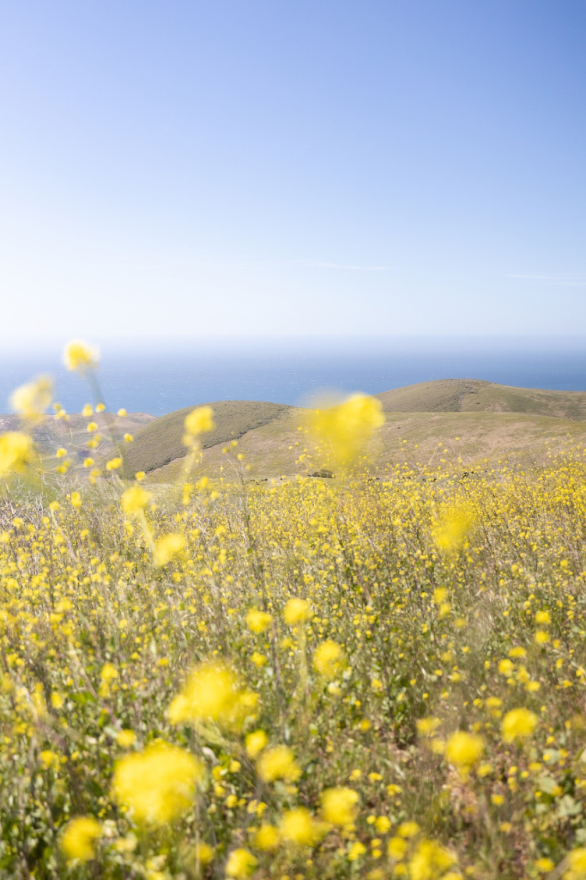
Dangermond Preserve | Credit: Ingrid Bostrom 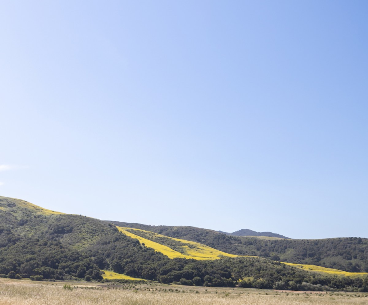
Dangermond Preserve |Credit: Ingrid Bostrom 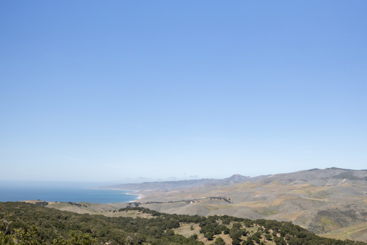
Dangermond Preserve | Credit: Ingrid Bostrom 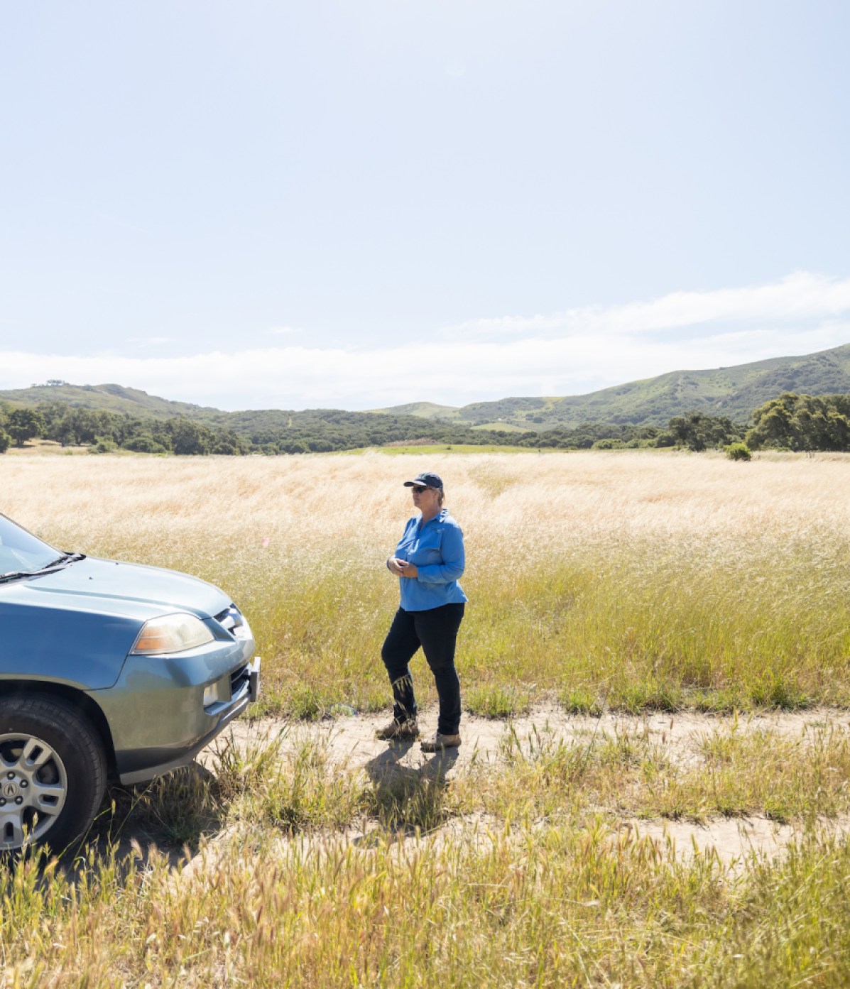
Laura Riege at Dangermond Preserve | Credit: Ingrid Bostrom 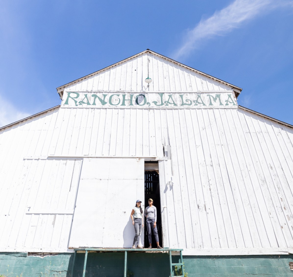
Elizabeth Hiroyasu & Rae Wynn-Grant at Dangermond Preserve | Credit: Ingrid Bostrom 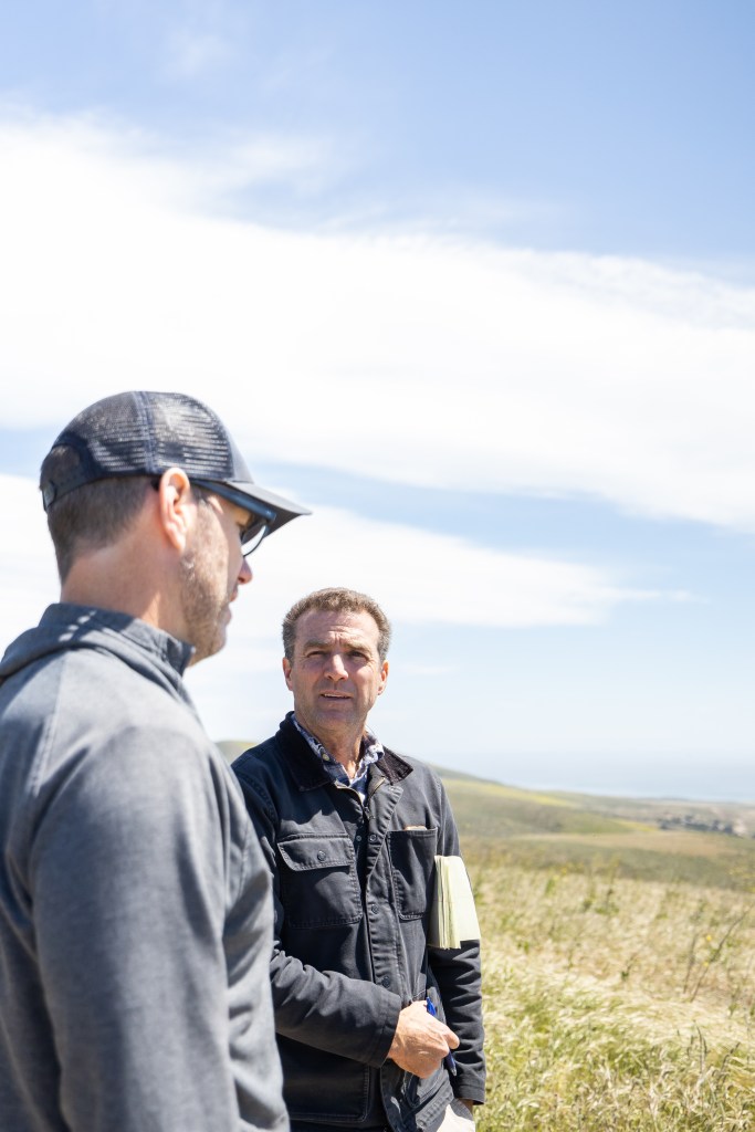
Michael Bell & Keith Hamm at Dangermond Preserve | Credit: Ingrid Bostrom 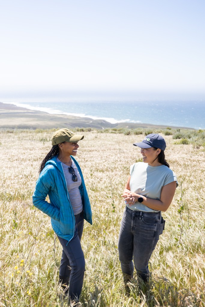
Rae Wynn-Grant & Elizabeth Hiroyasu at Dangermond Preserve | Credit: Ingrid Bostrom 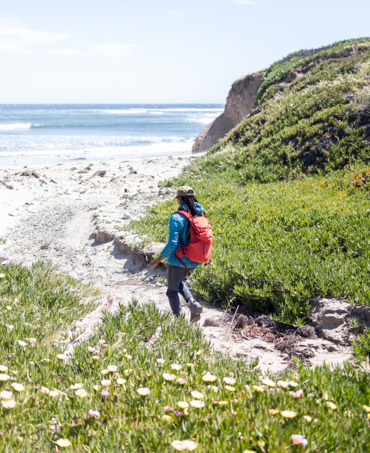
Rae Wynn-Grant at Dangermond Preserve | Credit: Ingrid Bostrom

You must be logged in to post a comment.