
Press releases are posted on Independent.com as a free community service.
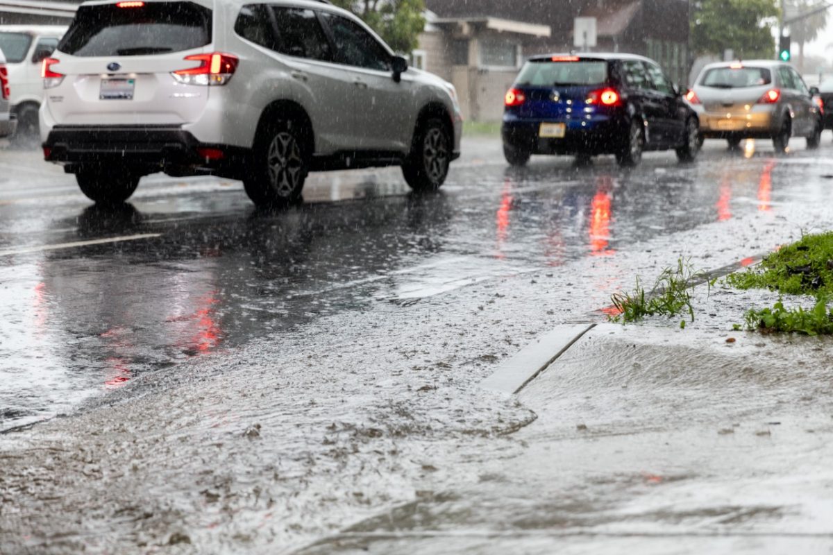
(SANTA BARBARA, Calif.) – Heavy rain is expected countywide Wednesday, December 20 through early Friday, December 22, 2023. Impacts are expected across the entire County with heightened risk expected in south Santa Barbara County foothills/mountains.
The National Weather Service has issued a FLOOD WATCH for all of Santa Barbara County until Friday morning, December 22, 2023. Stay away from rivers, creeks, streams, and other low-lying and flood-prone locations. Those living in areas prone to flooding, should stay aware of changing conditions and be prepared to take protective actions, such as going to higher ground, such as a second floor.
The National Weather Service is also advising of a chance of thunderstorms, and a remote risk of small, short-lived small tornadoes, during a tornado watch or warning, the best course of action is to get to the innermost room of your home on the bottom floor, away from windows.
Rain amounts are anticipated to be 2” to 5” over the coast and valleys, with 5” to 10” for the foothills and mountains (local amounts of 12+ inches are possible, especially for south-facing slopes). Peak rain times are anticipated Wednesday late afternoon through Thursday evening.
Take Action to Stay Safe During the Storm
- Stay away from rivers, creeks, streams, and other low-lying and flood-prone locations
- Monitor changing weather conditions and adjust your driving plans
- Stay off the roads during peak rain times
- Maintain awareness of personal safety as conditions can change quickly
- If you live in a flood-prone area, anticipate significant flooding and the potential for isolation
- Ensure you’re registered for emergency alerts at ReadySBC Alerts – Sign up (everbridge.net) Resources
- For status of highways: https://roads.dot.ca.gov/roadscell.php
- For status of County roadways: https://www.countyofsb.org/2116/Road-Closures
- For County sandbag filling locations: https://www.countyofsb.org/2219/Sandbags
- Detailed weather forecasts are available at http://www.weather.gov/lox
Current forecasts indicate this storm may cause significant flooding countywide, but especially along the south coast. If you are concerned that this storm may cause unsafe conditions to your home, leave the area before the heavy rain starts. Do not wait for an official evacuation notification to leave. If you live in an area that experiences significant road or driveway flooding, please be prepared with food and supplies should you become isolated.
