
[Update: July 8, 2024, 9 a.m.] Evacuation warnings and orders were expanded Sunday night in response to the growing Lake Fire, which has grown to 20,320 acres and is currently 8 percent contained, according to Calfire.
A new evacuation warning has been issued for the identified properties and parcels north of Calzada Avenue, east of East Oak Trail Road, west of Happy Canyon, and south of the Sisquoc River areas.
The evacuation warning has been upgraded to evacuation order for all areas from Figueroa Mountain Road at Junction Camp (including Tunnel Rd) to Chamberlin Ranch and all areas from Zaca Lake Rd at Foxen Canyon Road north to the Sisquoc River including east of Foxen Canyon Road to the 9000 block.
An evacuation warning is still in effect for the areas north of Zaca Lake Road, east of Foxen Canyon Road, and from the 9000 block and north to the Sisquoc River (including Rancho Sisquoc).
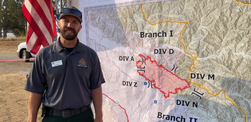
Residents can use the Santa Barbara County 2024 Lake Fire Incident Map to type in their address to see if their property falls within the highlighted areas. All evacuation orders and warnings can be reviewed at readysbc.org.
[Update: July 7, 2024, 1 p.m.] A Red Cross evacuation shelter has opened in Solvang at the Veterans Memorial, 1745 Mission Drive. As well as refuge, water, snacks, and meals are available. Evacuees are reminded to take with them medications, extra clothes, bedding, hygiene supplies, important documents, and necessities for children, infants, and other family members.
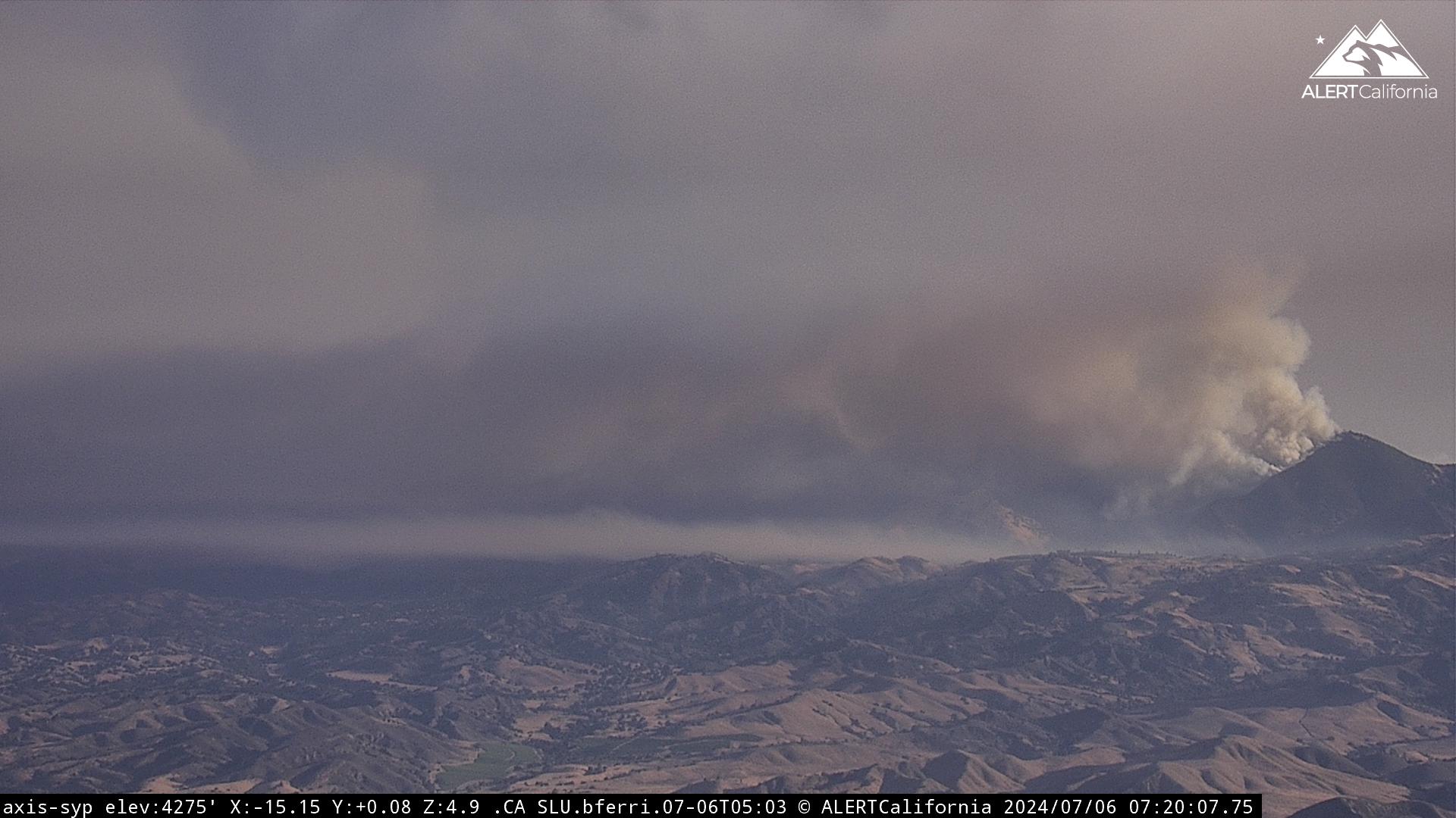
[Original Story] An evacuation order went out for parts of Figueroa Mountain Road around 1:40 a.m. on July 7 as the Lake Fire grew overnight to the southeast. The evacuation zone is between the Grass Mountain Trailhead (5380 Figueroa Mountain Rd.) to the Sawmill Basin neighborhood to the east, including the Figueroa Campground and Tunnel Road.
Roads leading to Figueroa Mountain through Los Padres National Forest are also under emergency closure:
Happy Canyon Road at the forest boundary
Foxen Canyon Road at Zaca Station Road and Alisos Canyon Road
Figueroa Mountain Road at Midland School
The fire had grown to 13,264 acres at the time of the evacuation order, according to Calfire. While the fire is staying within its original footprint, it reached some of the Forest Service’s long-lease cabins below Figueroa Campground. Three were damaged or destroyed, Los Padres spokesperson Andrew Madsen said, and they were unoccupied. Bulldozers were coming in to remove rocks that had rolled into the road, delaying inspections.
Farther to the west at the Figueroa Mountain Fire Station, “There was a pretty good little fire fight up there last night,” Madsen said. Firefighters were able to defend the station successfully. The homes on Tunnel Road were also spared as the fire steered around them, he said. All residents were evacuated.
About 16 helicopters had worked the fire yesterday, alongside 10 fixed-wing aircraft. Retardant laid down on the northwest side of the fire formed an anchor point where fire crews were working to establish a containment line.
Operations Section Chief Rick Marinelli with the U.S. Forest Service said the work was also concentrated on areas to the south of the fire. “Crews are working to keep the fire spread away from the southwest and the communities in this area,” Marinelli said during an update this morning.
Overnight, the heat eased just a notch to less than 90 degrees. Humidity values rose into the double digits and were at 20 percent as the sun rose through the marine layer that had rolled in. The winds were expected to swing around the compass points again, but should stay low, Madsen said. “The grass is burning hotter and faster,” he said of the day facing firefighters, “and we’ve got a good load of grass out there.”
An evacuation warning remains in effect for Figueroa Mountain Road to the Chamberlin Ranch to the west. Residents of areas between Zaca Lake Road, Foxen Canyon Road, and south of the Sisquoc River are also warned that an evacuation order may be made if the fire moves toward them. Go to ReadySBC.org to stay current.


You must be logged in to post a comment.