

[Updated: Mon., Nov. 17, 2025, 5:30pm]
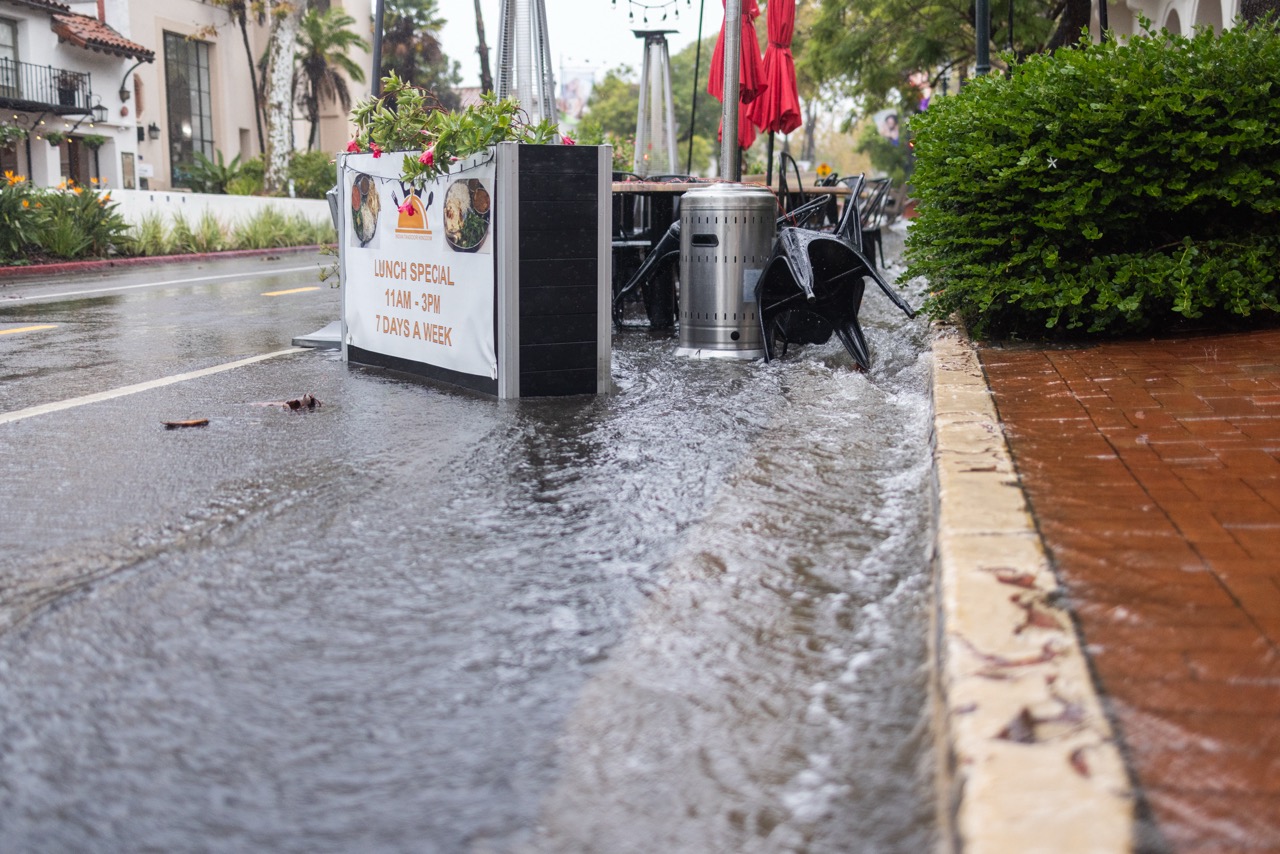
What started on Thursday as days of manageable, if relentless, rainfall has now made this the wettest start to a water year in the City of Santa Barbara in 127 years. As City Councilmember Oscar Gutierrez put it on Saturday night, the record-setting rain turned State Street into “State River.”
“Countywide, we’re at about 460 percent of normal-to-date rainfall and 44 percent of the normal annual total — and it’s only mid-November,” said Shawn Johnson, senior hydrologist with the county’s Flood Control District. A water year, which follows the natural precipitation cycle instead of a calendar year, runs from October 1 to September 30 in California.

“This has been a very impressive series of storms so far,” said Rich Thompson, meteorologist with the National Weather Service. “Rainfall totals [are] upward of 13.57 inches in the foothills of the Santa Ynez range.” Other coastal and valley areas have received between three to five inches, with San Marcos Pass nearing 15 inches and rising.
And more rain is on the way. The National Weather Service says a cold front is currently moving through, with steady rain expected through Monday afternoon, followed by scattered showers and a chance of isolated thunderstorms through Tuesday. A brief break is forecast Wednesday, before another system moves in Thursday.
What is coming, however, should be light compared to the storms that hit the past four days. City Fire, Police, and Public Works crews responded to multiple simultaneous flooding emergencies on Saturday, including rescues of stranded drivers and a temporary shutdown of the Mission Street underpass. Floodwaters overtook intersections like Cacique and Quarantina, Gutierrez Street, and Salsipuedes, prompting barricades and closures that remain in place.
The downtown flooding caught many off guard this past weekend. Councilmember Oscar Gutierrez posted a video on Instagram captioned “State St is now State river” showing water rushing down State Street, overtaking sidewalks as people waded through calf-deep currents. In one frame, a man — one of the familiar late-night food vendors — stood atop a flower planter, beneath his pop-up tent, as the water flowed around him.
“I parked in the Funk Zone before going into work, and the rain seemed manageable at first,” said Danial Baradaran, a supervisor at S.B. Biergarten. “A couple of hours later, when I finally had time to check on my car, the water had already pooled around it and started leaking inside. By then, the passenger floor was completely soaked. I really didn’t expect the flooding to get that bad so quickly.”
At Santa Barbara City College, a weekend torrent sent water coursing through the parking lot and a construction site, overwhelming drainage and forming a temporary river that rushed toward Leadbetter Beach.
Jackie Ruiz, the county’s emergency preparedness coordinator, confirmed the flooding, stating that “there have been some minor rock slides [and] debris slides into roadways. Even after rain has stopped, soil and land can continue to move.”
Dozens of trees fell across the region, causing road blocks and ripping power lines. One fell across railroad tracks in Summerland, halting an Amtrak train. Others came down in Montecito, Summerland, and Santa Barbara’s Westside, including one on Torino Drive. Mud and debris were also reported along Cliff Drive, Las Tunas Road, and Loma Alta Drive.
An additional 1-2 inches of rain is expected across lower elevations this Monday, and up to 3 inches in the Santa Ynez Mountains. Snow may fall at elevations above 4,500 feet tonight.
“The main threat’s going to be this afternoon, into early this evening,” Thompson said. After that, forecasters expect a brief break in weather on Wednesday, followed by another storm system arriving Thursday.
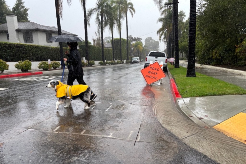
Residents are reminded: don’t drive through standing water, and report hazards like downed trees or blocked drains to local authorities.
“Flooding is currently happening in all the usual spots,” Ruiz said. “We just want people to stay alert. This isn’t quite over yet.”
Monitor alerts via ReadySBC, and visit ReadySBC.org for ongoing updates, and text 93101 to 888777 to sign up for local Nixel alerts on road closures and more.
Editor’s Note: This story was updated to remove the list of closed roads, which reopened Monday evening.


You must be logged in to post a comment.