Zaca Fire Heats Up
Big Picture Continues to Get Bigger
For those who spent time in the San Rafael Wilderness, you may not recognize it on your next visit. “It is entirely possible,” Forest Service PIO Mike Ferris said Tuesday morning, “that a huge chunk of the wilderness will burn.”
Armando Rios, Battalion Chief for Cal Fire in Merced County, a Fire Contingency Planner, acknowledged this. “All of our planning is towards holding the ridgetop boundaries – which means the Sierra Madres on the north and the McKinley area on the south,” he explained. “Wilderness doesn’t give you a lot of choices.”
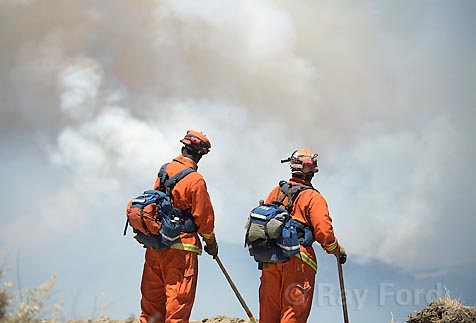
Over the past week the Zaca Fire has burned steadily across the Hurricane Deck, eating up the chaparral at a pace of about a mile a day. Cooler conditions and higher humidity have keep the fire to a crawl, enabling fire fighters to button up the western end of the fire, add dozer lines and begin to build a defense perimeter along the high ridges.
On Monday, as the flames reached thicker forty-year-old chaparral near Lost Valley Canyon and the wind shifted to a southwest flow, fire activity intensified dramatically. Within hours, more than 2,000 acres in the upper Manzana drainage were burned and the fire began to expand outward both to the east and south.
Just ten days ago I sat on the flanks of McKinley Mountain watching the fire from long distance as it exploded after cresting the ridge near Zaca Peak. That the fire might reach my perch here in the space of just ten days was impossible to imagine.
Yet by Monday afternoon, all of the Manzana Narrows area through Big Cone Spruce had been overrun and McKinley Ridge was in danger. Air bombers hammered the ridge from Cachuma Saddle east to the wilderness boundary into the evening, painting it a florescent pink in hopes the fire would not escape the wilderness and head down into the Santa Ynez Valley.
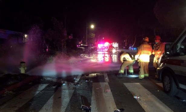
When the flames closed in on the ridge Monday evening, an evacuation order was triggered for residents in the Valley. Though the fire was still many miles away, this provided plenty of time to save valuables, pets and livestock, should it be necessary to relocate.
“The crews were busy all night building additional dozer line,” Manny Madrigal, a spokesperson for the Forest Service told me. “We’ve fortified the Ranger peak area, added additional line down from McKinley Peak and build up dozer lines in the Santa Cruz Peak area as well.
“We don’t anticipate the fire crossing the McKinley Ridge but we’re prepared if it does.”
One of the fire divisions, dubbed “W” by the Incident Commanders, is tasked with stopping the advance in the Sunset Valley area. By late Tuesday they had been successful in stopping the fire before it crossed Sunset Valley Road. This enabled the fire team to lower the evacuation from an “order” to a warning for all areas outside the forest boundaries.
Increasingly, fire officials have come to the conclusion most of the San Rafael Wilderness will burn. “If it does we’re talking 200,000 acres easy,” a friend who works for the Forest Service told me. “And that’s if we hold the high country from San Rafael to Mission Pine Basin on the south and if we stop it cold when it reaches Big Pine Mountain.”
Note the emphasis on the if – not when. No doubt we are witnessing something both terrifying and historic. Never in Santa Barbara County’s history has such a huge chunk of our backcountry burned.
Increasingly, the fire line is being stretched. Though it hasn’t crossed the Sisquoc, fire officials expect it to in the next few days. They estimate it will reach the Sierra Madres within a day if this happens. The fire is also working its way up the north side of San Rafael Mountain, an area not burned in recorded history and is heading towards Mission Pine Basin. This may cause it to spill down into the Santa Cruz drainage.
Nor will it be easy to hold the Big Pine area. By Wednesday morning, dozers have moved even further east of that to Highway 33 in an area known as Potrero Seco. The Dick Smith Wilderness may burn too.
News Note – in the four days since this article was written, movement of the fire has stalled somewhat on the back side of San Rafael Mountain, allowing fire fighters the time to establish safe zones for landing hand crews on the San Rafael Ridge and lower Sisquoc and for air attack forces to lay down thick layers of retardant. If conditions hold, the fire may be contained in this area.