
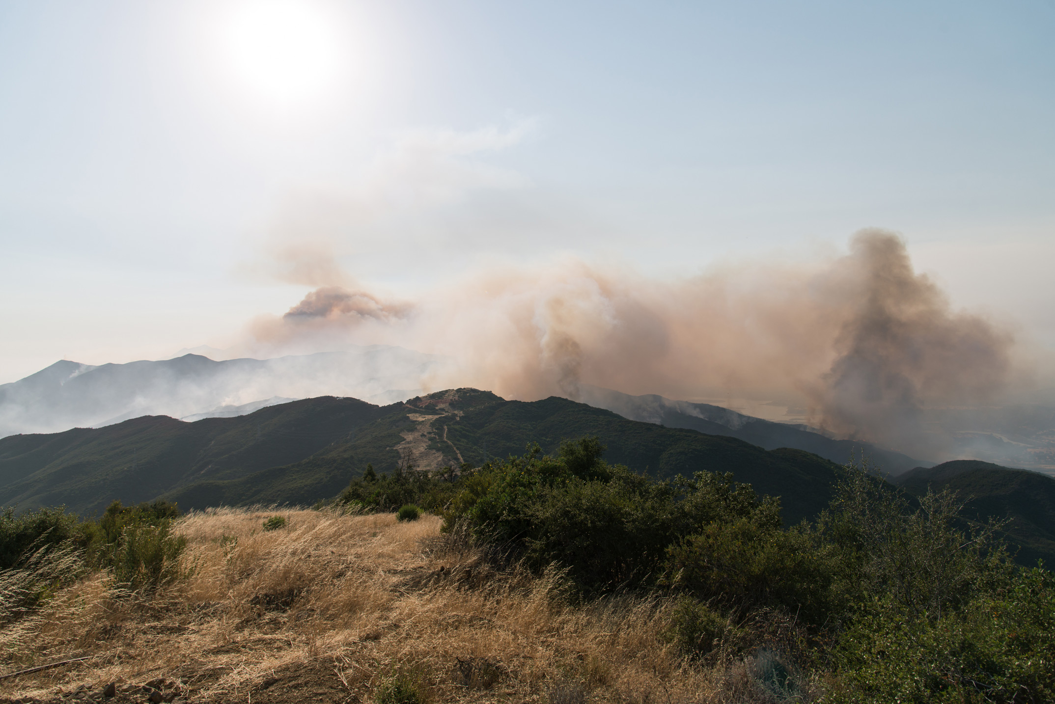
While reporting on how the Whittier Fire trapped 80 campers at the Circle V Ranch Camp, Independent reporter Keith Hamm spoke with two Santa Barbara County Fire Department veterans who said that the Whittier grew faster than any wildfire in recent memory. Within hours of ignition, the blaze had consumed nearly 8,000 acres of dense oak and chaparral on both sides of Highway 154, racing its way up the northern faces of the Santa Ynez Mountains.
With the destruction of the near 12,000 acres now scorched by the blaze come new insights on how fires like the Whittier explode in size and intensity, due in part to factors like geography and ahistorically large fuel loads, the latter of which is often the product of controversial forest management practices. By fast-forwarding through our usual gaze on these fires, we’re at least in awe—if not enlightened—by the growth and power of these infernos.
One camera array, setup atop Broadcast Peak through a collaboration between AlertSoCal, UC San Diego, UC Santa Barbara, Nevada Seismological Lab, and the HPWREN program time-lapses us through the first 18 hours of the Whittier Fire, when the vast bulk of the still-burning acreage was consumed in the fire:
Another comes from Indy staff, who were able to capture the advance of the fire up to the ridge between Tecolote and Ellwood Canyons, where the Whittier is now held at its eastern boundary atop the Santa Ynez Ridge:


