
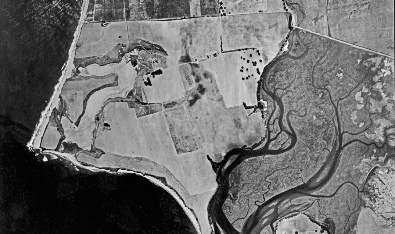
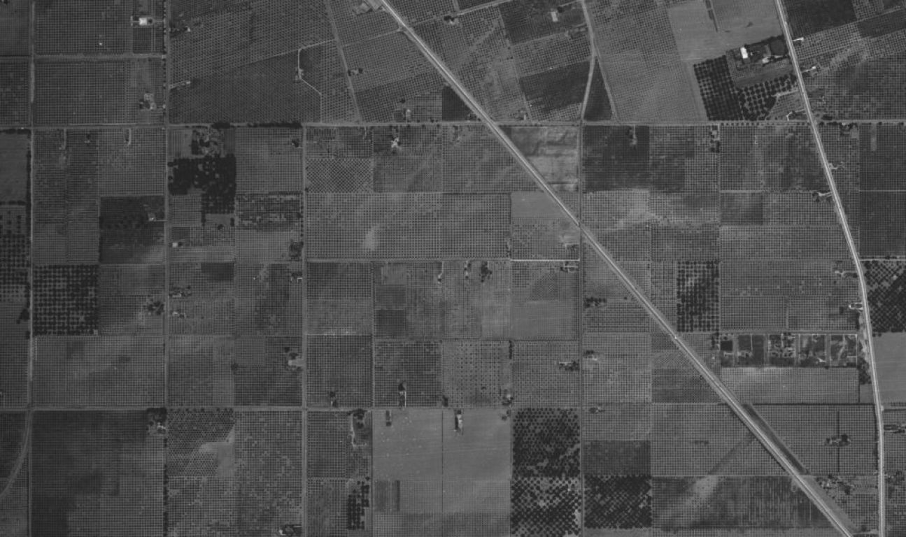
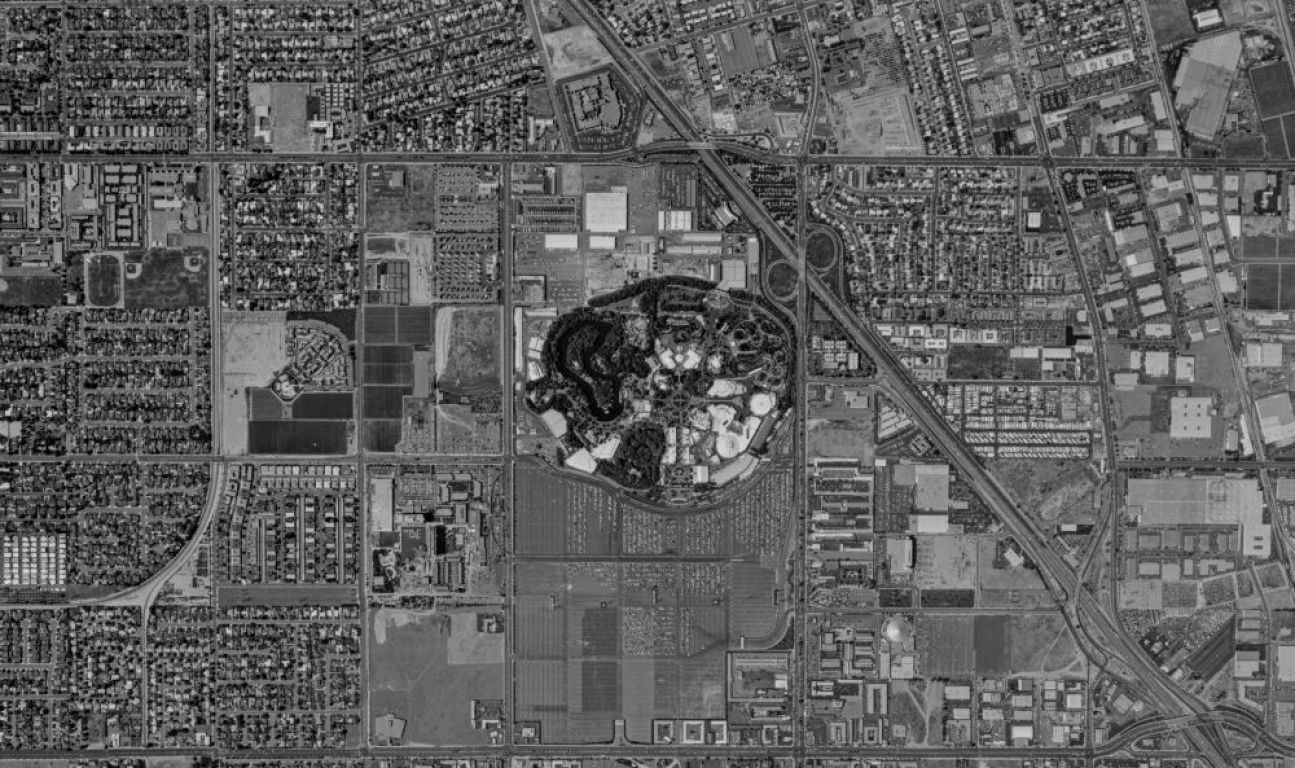
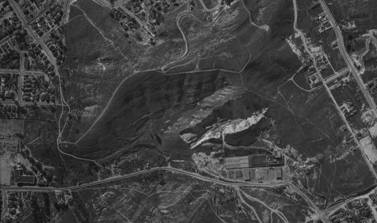
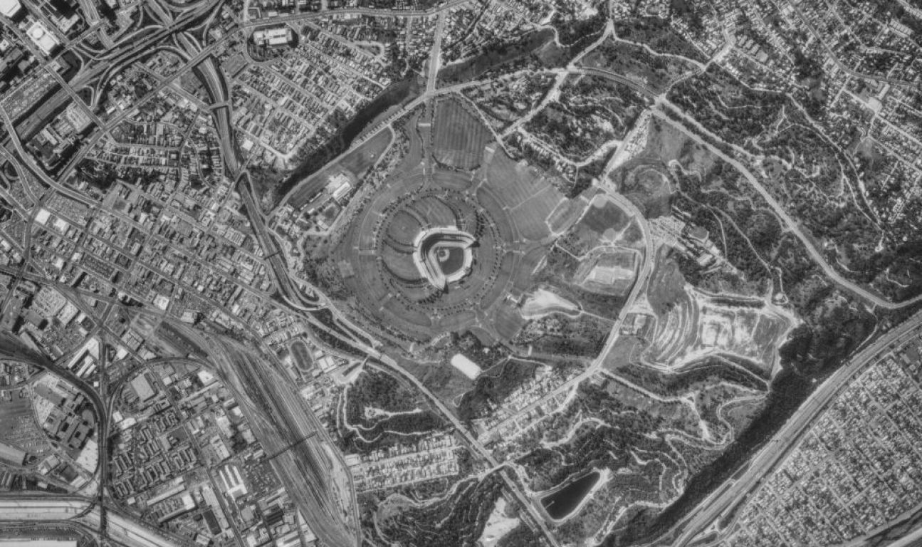
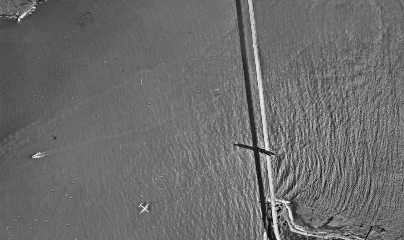
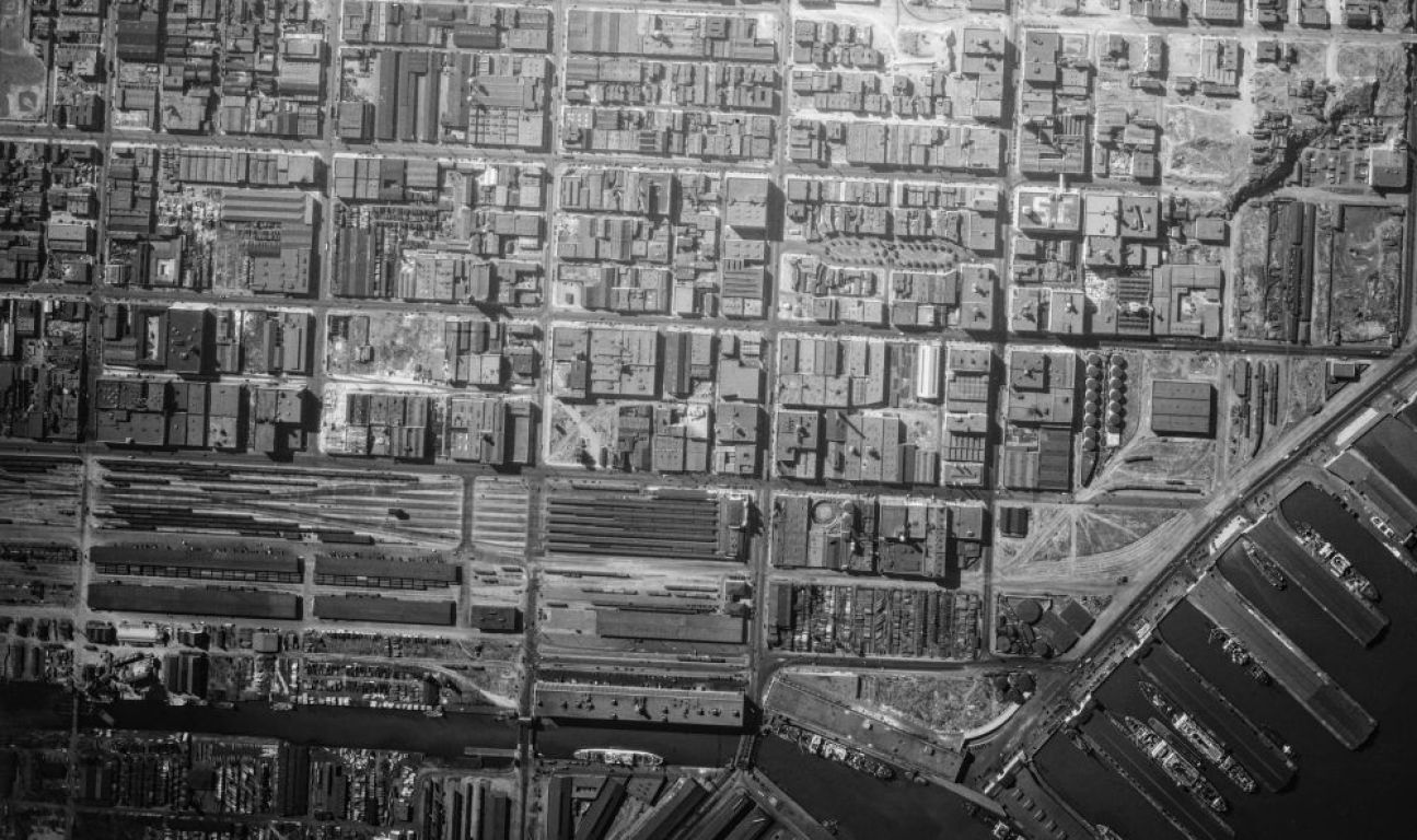
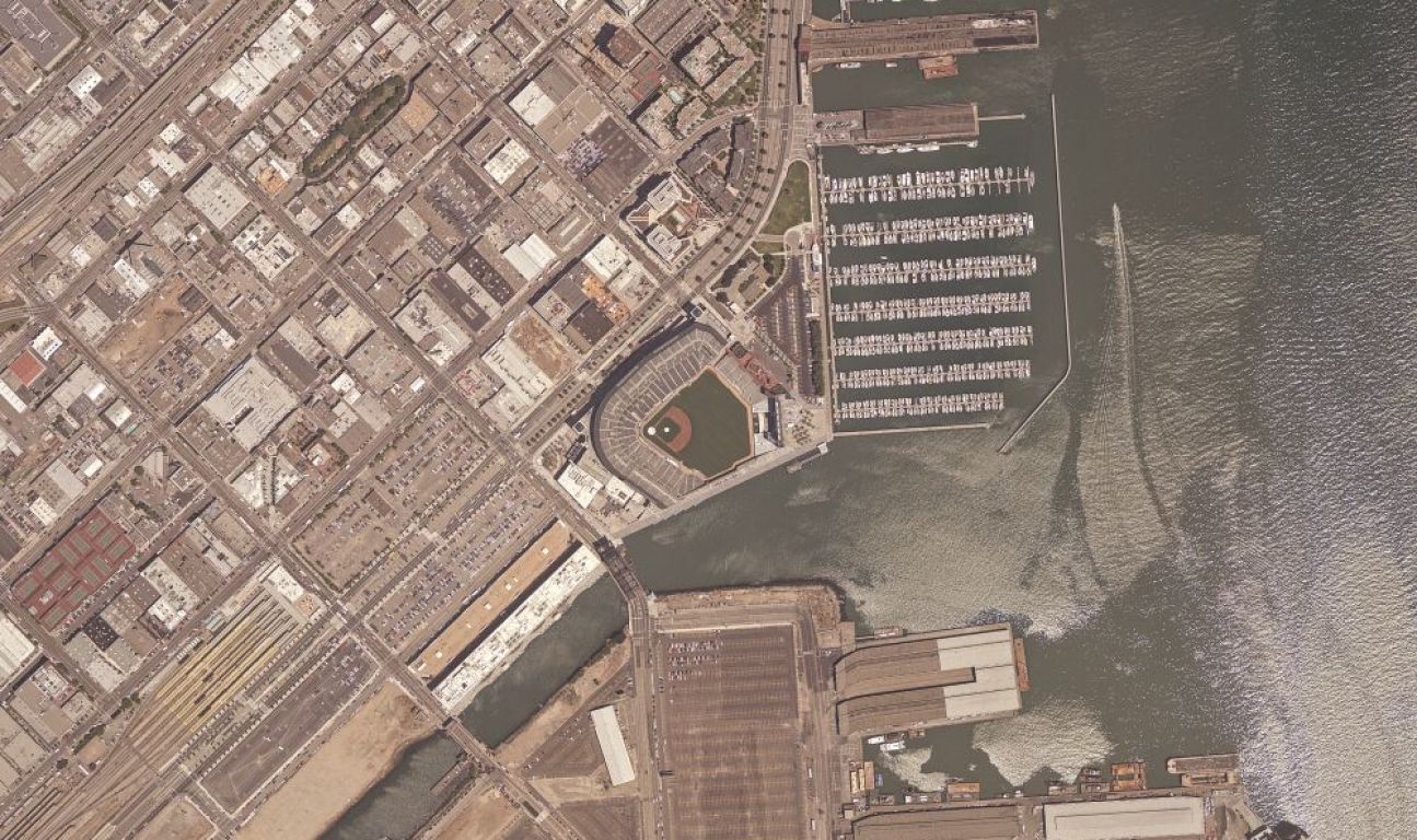
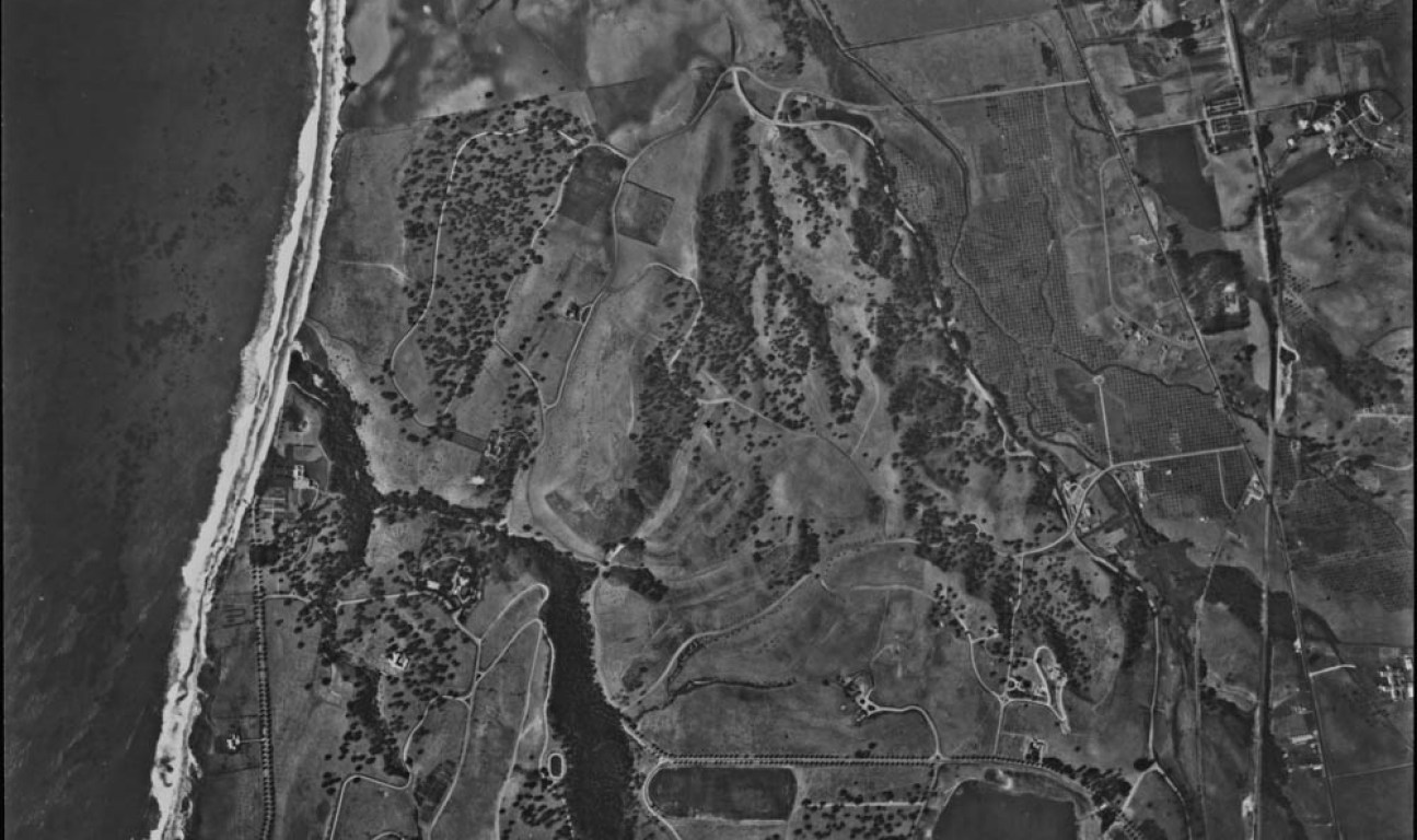
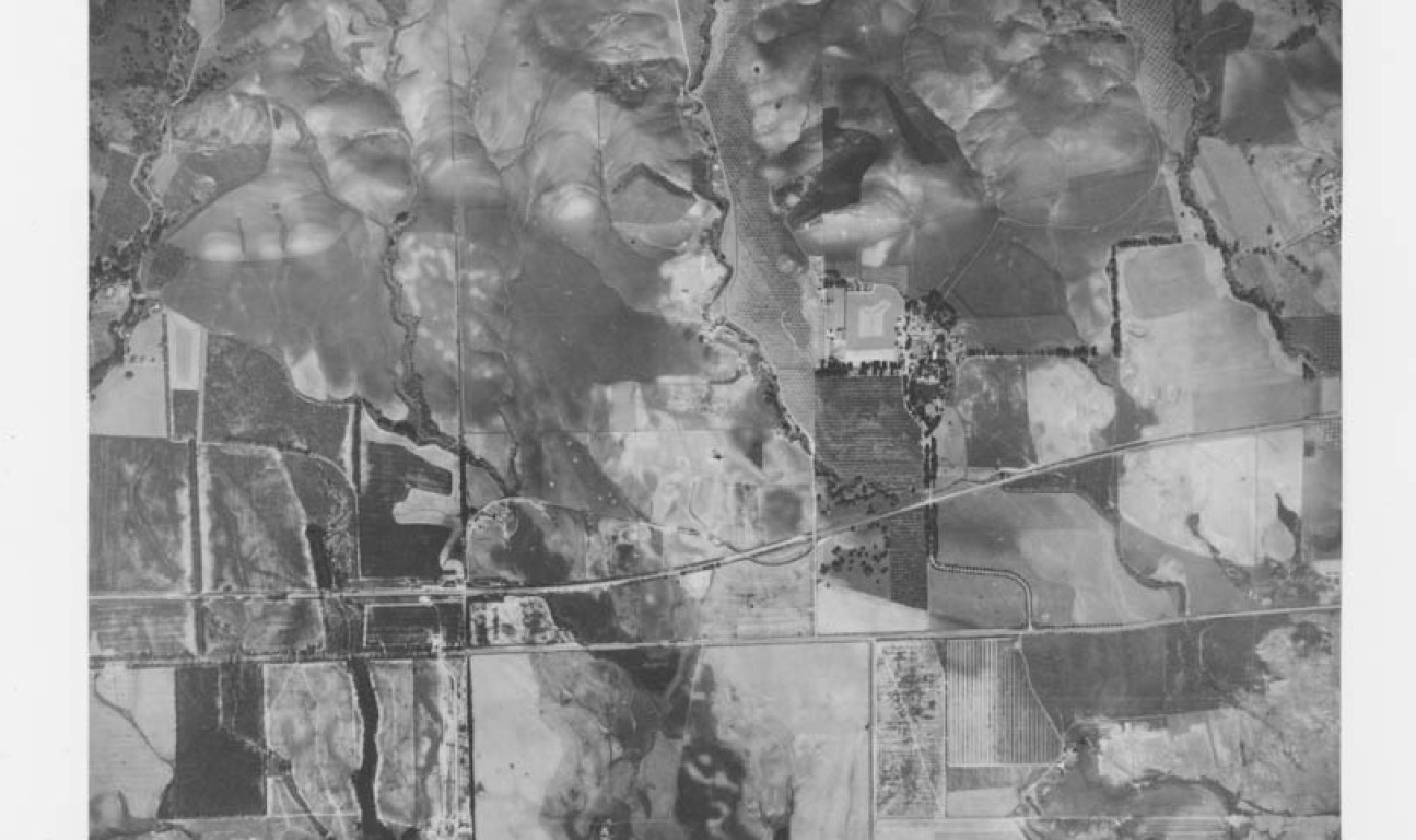
Ever wondered what your street looked like in the 1940s? Or perhaps wanted to see what the San Francisco Bay looked like before the Golden Gate Bridge was built? With UC Santa Barbara’s Aerial Photography Collection, you can do just that. The archive of photographs includes almost 100 years’ worth of images of California, as well as shots from around the world. Aerial photos are traditionally taken with a camera mounted underneath an aircraft for the purpose of land planning and identifying property boundaries.
Anyone can check out the interactive database, FrameFinder, and spend hours navigating the map to access images. Less than a quarter of the approximate 2.4 million photos have been scanned into the database, however. In order to access the unavailable images on the site, you must request to have them scanned, at about $20 a pop. The collection requires cold storage rooms, so this kind of public funding is necessary to keep the archive preserved so people can explore the images for years to come.
Inquiries can be emailed to special@library.ucsb.edu or by phone at (805) 893-3062 or (805) 893-2779. Jon Jablonski is the director of the Interdisciplinary Research Collaboratory, which houses the Aerial Photography Collection.


