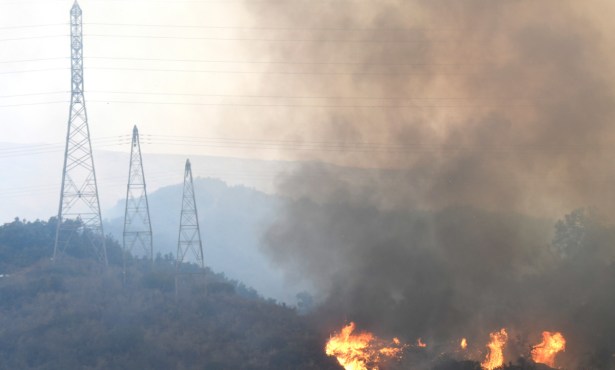
Trailblazing Gaviota the Slow Way
Planning Committee Grinding Out Details of Public Trail Access

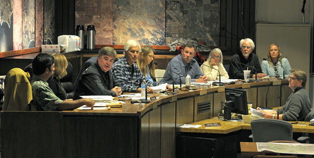
The ongoing Gaviota planning process has been stuck in second gear as of late. Appointed by 3rd District Supervisor Doreen Farr’s office in the fall of 2009 to help create a draft version of a Gaviota General Plan at some point in 2012, the 11-member Gaviota Coast Planning Advisory Committee (GavPAC) held their 48th meeting last week, this one in the County Planning Commission chambers in Santa Barbara. The topic of discussion was public trail access, specifically what a public coastal trail in the area west of Refugio State Beach and east of Arroyo Quemado may one day look like. The room was nearly full with an assortment of property owners, their attorneys, and environmental advocates. It was the sixth time since February the group has met to discuss public trail concerns and ideas, and it certainly won’t be their last.
There are no easy miles when it comes to long-range planning in the Gaviota neighborhood, but GavPAC was more or less on schedule for adopting a comprehensive set of planning recommendations when it took a five-month break last September. That progress, however, was recently compromised, as the talks have turned to potential sites for public trails in the globally celebrated region. Well-lawyered property owners, ranging from Regan Ranch interests to small coastal homeowners — fearing that a trail route may be plopped down in their backyard against their will — have been increasingly coming to the semi-monthly meetings to cry foul and promise litigation.
Last week, it was the folks from around Arroyo Quemado who turned out to weigh in on the deliberations. No doubt recognizing the fear factor running high in the audience, GavPAC Chair Charles Kimball took the occasion to explain that GavPAC has no desire or ability to put trails on the land of unwilling owners. In the end, the group unanimously approved an “overlay” for the region — a planning tool that identifies a rough outline of a trail area pending future deliberations with various involved agencies such as Caltrans, private property owners, and Union Pacific. The overlay, which was a generally acceptable conclusion for the property owners in attendance, employs the existing frontage road on the ocean side of Highway 101, avoids the Arroyo Quemado village, and necessitates a new pedestrian bridge at its west end. Public trails will once again be the main focus when the GavPAC next meets on April 25 at the Vista de las Cruces School and again at their subsequent meeting at the same location on May 9.