

While most favorite hiking spots along the South Coast —from the Gaviota Wind Caves to Rattlesnake Canyon —fared well through winter, miles of trails in Santa Barbara and Ventura counties got hit hard by the Thomas Fire and 1/9 Debris Flow. Above Montecito, for example, Los Padres National Forest officials just recently lifted closures across the Thomas Fire burn scar, yet much of the extensive trail system within that boundary remains in pretty bad shape, even dangerous in some sections. Keep that in mind while setting out.
Having heard the good news about reopened access to federal land, my 7-year-old daughter and I ducked under the caution tape at the Hot Springs trailhead and walked right past U.S. Forest Service “Trail Closed” signage. I figured the feds hadn’t yet dispatched a ranger to remove signs. Turns out, many of the feeder trails leading to Forest Service land are county-or —as with Cold Spring Canyon —city-owned easements that remain closed. Word around the campfire is that parks departments are waiting on Federal Emergency Management Agency recovery funds for trail assessment and repair.
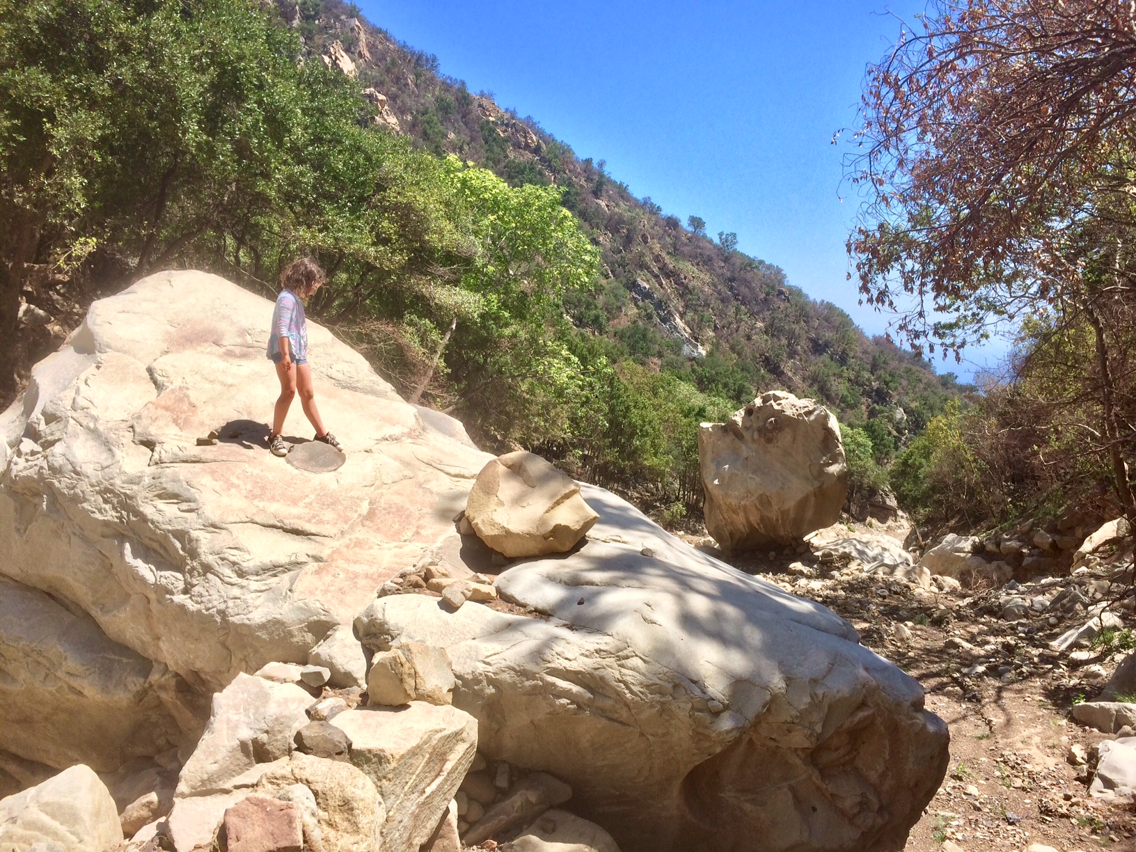
The closure signs and trail damage seem to be discouraging many hikers; we saw only a handful during our Memorial Day weekend outing in Hot Springs Canyon, which is bursting with new growth, including plenty of poison oak. “It’s so peaceful,” my daughter said as she slipped off her sneakers to soak her sweaty feet in the creek. “But it’s also torturous because your legs get so tired.”
The next day, she got to chase frogs and dragonflies along San Ysidro Creek —but only after we ignored the closed trailhead and climbed over boulders and broken fencing placed across the trail by a nearby homeowner on West Park Lane across a historic access easement. I later learned that the upper reaches of San Ysidro Canyon are best accessed by starting at the Wiman trailhead and then hanging a left on Old Pueblo. I also hear that Romero Canyon is open, same with Carpinteria’s Franklin Trail, which is awesomely kid-friendly.
For updates on the area and ongoing efforts to reestablish trail sections that have been washed out or covered by rockfall, check in with the Montecito Trails Foundation at montecitotrailsfoundation.org.
In and around Ojai, the recent opening of the Thomas Fire acreage returns access to the Pratt, Foothill, and Gridley trails, and FuelBreak Road. Many of the now-open National Forest trails are accessible via trails maintained by the Ojai Valley Land Conservancy( OVLC) nonprofit (OVLC.org), which manages 27 miles of trails across roughly 2,300 acres of open space, including the 1,600-acre Ventura River Preserve, most of which was burned by the Thomas Fire.
Just weeks after the wildfire came through, OVLC leaders and volunteers started trail recovery efforts, according to OVLC Stewardship Director Brendan Taylor, and the group is now working with the Bureau of Reclamation to replace the Rice Canyon canal bridge, which was destroyed by the Thomas Fire. The Chaparral Crest Trail is permanently closed, Taylor added, mostly to protect sensitive wildlife habitat and a nearby spring. “But we’re looking to create a new trail to make up for that loss,” he said.


