
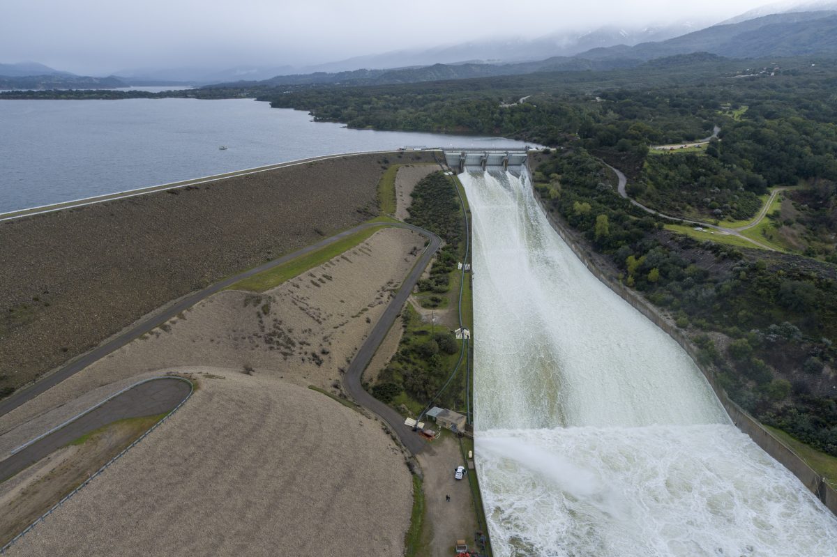
Santa Barbarans are well versed in the weather drill by now — a lotta rain is going to fall, mud and rocks are going to tumble, and hold on to your toupee because it will get windy. With the ground completely saturated from the more than 200 percent of normal rainfall to date — San Marcos Pass has registered 66 inches so far, and all reservoirs except Twitchell are full of water — flooding is in the forecast.
In what will be the county’s 22nd storm this season, and California’s 12th atmospheric river, this storm is rotating in from the west, with winds blowing up from the south, bringing cold air with the moisture during Tuesday and into Wednesday. The rainfall rates range between 0.25 to a full inch if thunderstorms develop, and rainfall totals range from 1 to 6 inches from the coast to the mountains.
Surf is predicted at 8-13 feet along the Central Coast. Out at sea, winds are expected to gust at gale force — 30-40 knots — and outer waves are at 8-14 feet Tuesday to Wednesday.
In the mountains, snow is predicted above 4,000 feet — up to five feet of snow above 5,000 feet — and with the wind will make high mountain passes “impossible” and hazardous, like the Grapevine, according to the National Weather Service.
Wind, flood, and surf watches and advisories are in effect through Wednesday, though county emergency officials state evacuation notices are not currently issued. Information will be available at ReadySBC.org should it become necessary.
Happy Spring.


