
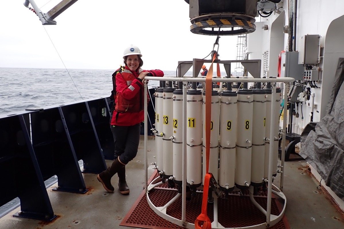
A group of seafaring scientists traversed the Central Coast this past week, sailing right under the noses of Santa Barbara residents. Little did our community know, but these unsung sailors were tasked with figuring out what lies beneath the waves.
Their research vessel acts as the state’s underwater eyes and ears, as part of the longest-running marine research program in the world — the California Cooperative Oceanic Fisheries Investigations program, or CalCOFI. The ship was just off Point Conception on Tuesday as it made its way up north.
Scientists can use the data to assess the health of the ocean and how it is changing. It paints an integrated picture of what is happening under the sea — from the temperature at the surface to the status of marine life below.
“It’s taking the pulse of the ocean,” said Erin Satterthwaite, a Santa Barbara resident and marine ecologist with the program. “Whenever it’s nearby, I go to see if I can spot the ship offshore.”

Satterthwaite explained that CalCOFI — now on its 395th cruise — was born out of the need to better understand the legendary collapse of California’s sardine fishery in 1949, the state’s most valuable fishery at the time.
Now, exactly 75 years later, the quarterly data-collecting cruises have become vital for marine conservation in the context of climate change. They are “iconic” in the scientific scheme of things, Satterthwaite noted, but few California residents are aware of this regular endeavor happening in their backyards.
Santa Barbara was just one stop on the ship’s route as it zigzags from San Diego to San Francisco to take hundreds of samples, sweeping the coastline to 300 miles offshore.
Using a multidisciplinary approach, “cutting-edge technologies,” and traditional sampling methods, the scientists who venture into the Pacific Ocean collect a “comprehensive array of data” along 116 stations, some in 60 feet of water, others in deep international waters of 13,000 feet or more.
According to CalCOFI, this long-term data collection has helped scientists better understand the oceanic conditions associated with climate patterns like El Niño and La Niña, leading to improved forecasting and management strategies.

It also allows researchers to distinguish between what is natural and what is caused by humans. For example, in recent years, they have observed La Niña’s changing influence on coastal ecosystems, with higher temperatures and more variable responses from plankton and birds.
“The data lets us disentangle larger-scale patterns from other factors,” Satterthwaite said.
“If you don’t have that longer-term data, it’s harder to single out what is caused by humans.”
Additionally, Satterthwaite said that CalCOFI helps inform fisheries management decisions by providing insights into fish populations and ecosystem dynamics. It also contributes to understanding water quality, harmful algal blooms, and other factors that may affect coastal recreation.
“CalCOFI’s studies on marine life aid in understanding and conserving California’s coastal ecosystems, which is crucial for protecting biodiversity and iconic species,” she added.
The program’s research vessel — the Bell M. Shimada, provided by the National Ocean Atmospheric Association, a founding partner of CalCOFI — may have moved on from Santa Barbara, but it will be back with the change of the season. The data from this most recent cruise will be publicly available within the next few weeks. All data is accessible online at calcofi.org.
Related Posts


Premier Events
Sun, Jun 07
All day
Santa Barbara
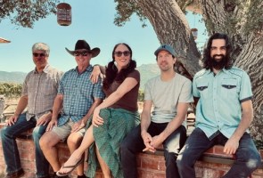
SEIMANDI & LEPRIEUR – Hunt Slonem Exhibition Now – June 7
Sat, May 30
12:00 PM
Los Olivos
90’s Unplugged at Firestone Winery
Sun, May 31
1:00 PM
Santa Barbara
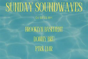
Courtyard by Marriott Santa Barbara Presents Sunday Soundwaves
Sun, May 31
6:00 PM
Santa Barbara, CA
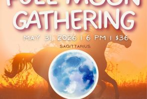
Blue Full Moon Ceremony
Sun, May 31
7:30 PM
Santa Barbara
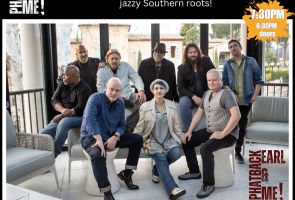
Herman Matthews Presents: Phatback, Earl & Me! SOhO

Tue, Jun 02
5:00 PM
Santa Barbara
UCSB Media Arts & Technology End of Year Show (EoYS): “re:agency”

Tue, Jun 02
7:30 PM
Santa Barbra
Adelfos Ensemble presents: Enlightened Harmonies

Wed, Jun 03
11:40 AM
Santa Barbara
Women’s Prosperity Partners S.B. LEADS Club Virtual Meeting- Female Entrepreneurs

Wed, Jun 03
6:00 PM
Santa Barbara
Chaucer’s Book Talk – Greg Orfalea
Wed, Jun 03
6:00 PM
Santa Barbara
Bingo for Bottles at Carr Winery
Wed, Jun 03
7:30 PM
Santa Barbara
Ensemble Theatre Company Presents “Every Brilliant Thing”
Sun, Jun 07 All day
Santa Barbara
SEIMANDI & LEPRIEUR – Hunt Slonem Exhibition Now – June 7
Sat, May 30 12:00 PM
Los Olivos
90’s Unplugged at Firestone Winery
Sun, May 31 1:00 PM
Santa Barbara
Courtyard by Marriott Santa Barbara Presents Sunday Soundwaves
Sun, May 31 6:00 PM
Santa Barbara, CA
Blue Full Moon Ceremony
Sun, May 31 7:30 PM
Santa Barbara
Herman Matthews Presents: Phatback, Earl & Me! SOhO
Tue, Jun 02 5:00 PM
Santa Barbara
UCSB Media Arts & Technology End of Year Show (EoYS): “re:agency”
Tue, Jun 02 7:30 PM
Santa Barbra
Adelfos Ensemble presents: Enlightened Harmonies
Wed, Jun 03 11:40 AM
Santa Barbara
Women’s Prosperity Partners S.B. LEADS Club Virtual Meeting- Female Entrepreneurs
Wed, Jun 03 6:00 PM
Santa Barbara
Chaucer’s Book Talk – Greg Orfalea
Wed, Jun 03 6:00 PM
Santa Barbara
Bingo for Bottles at Carr Winery
Wed, Jun 03 7:30 PM
Santa Barbara

You must be logged in to post a comment.