
Santa Barbara’s typical blue skies and sunshine in the month of May gave way to 2 inches of rain this past week. But that’s hardly an anomaly. In 1998, the Santa Barbara Airport (the county’s official weather station) reported its wettest May on record at close to four inches, Mark Jackson with the National Weather Service said. And at San Marcos Pass, where a good 3 inches fell this month, May 1998 saw close to 8 inches of rain, said Shawn Johnson of the county’s hydrology department.
The long-range forecast is warmer and drier, said Jackson: “So it’s a pretty safe bet that the May 1998 record will stand for another year.”
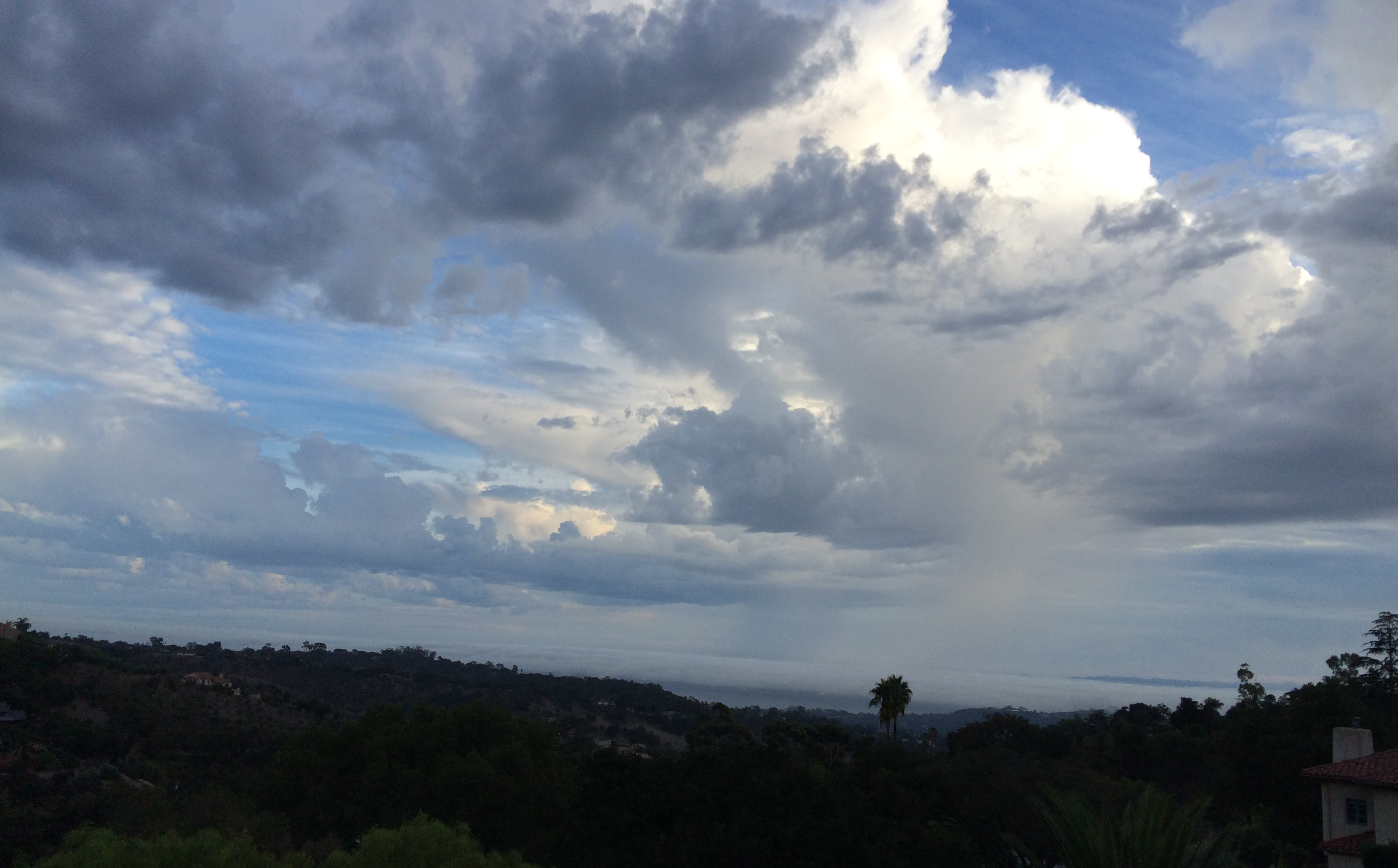
He added that this month’s rain was delivered on a weak “atmospheric river,” a nifty term to describe the movement of water vapor from tropical oceans. One such well-known “river” is the Pineapple Express, which collects over Hawaii and stretches to the West Coast. When these clouds stall, they can deliver torrential amounts of water. And when they lift from cooler air from Alaska, the torrent drops further inland, according to a report in E&E News.
Weather forecasts can be off by several miles because high clouds can hide the innocuous-looking atmospheric rivers from weather satellites. Scientists at Scripps Institution and several government agencies have been collaborating to parachute “dropsondes” through the rivers to measure moisture, direction, and other useful information, E&E News reported. The rivers bring both rain and snow, but were found recently to be responsible for 84 percent of flood damage losses, according to the report.


