

County planners are forcing stakeholders and community members to choose between two terrible options for the Modoc Multi-Use Path, aka Alignments B and A, otherwise known as “Bad” and “Awful.” These two recommended alignments are described in their July 21 Project Information document here: https://content.civicplus.com/api/assets/ed516900-e9f5-4426-9953-3a4258ec4637
It’s unfortunate that the county has put Santa Barbara bike advocates like me in the terrible position of having to choose trees over bikes, or bikes over trees. However, the county-recommended Alternatives A and B are not the only two viable options. There is at least one other option, Alternative C, that would preserve trees and wildlife and provide a beautiful, scenic, and safe route for bike riders, walkers, runners, and wheelchair users, young and old.
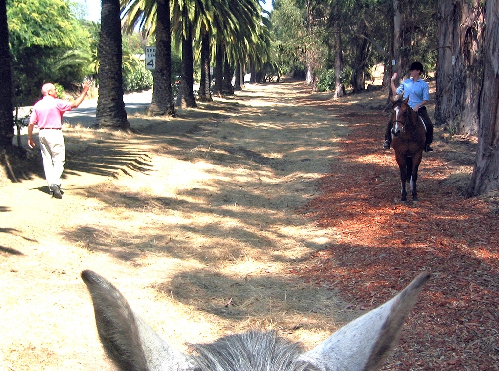
The area in question is the north end of the Class 1 Modoc Rd Multi-Use Path. Can’t we preserve and protect our historic trees and wildlife and build a safe new multi-use path?
No one should have to choose between “Bad” and “Awful.” No one should have to argue with environmentally minded friends over choosing between a long-awaited multi-use path, versus removal of 60 trees along the Modoc Nature Preserve. No one should have to fight to “Preserve the Modoc Preserve,” which was deeded as a conservation easement to the Santa Barbara Land Trust in 1999 by the owner, La Cumbre Mutual Water Company.

Alignment C, as shown in the map above, follows along Vieja Drive, an unimproved county-owned road, from Las Palmas Drive to Nogal. According to the county’s Modoc Multi-Use Path FAQ dated July 21, this option was not recommended for various reasons — namely, “remoteness, steeper grades, and lack of connectivity to the surrounding transportation network.” CAMP has questions, as follows:
Remoteness — Public Works planners told CAMP volunteers that the issue with Alignment C is it only has “two ends, with nowhere to get off in the middle.” CAMP wants to know, how is this any different from the existing Obern Trail multi-use path from Modoc to Nogal? Or the Coastal Route path from Puente to Turnpike? Or the Coastal Route path from Patterson to Goleta Beach? CAMP would like to see consistency in the planning process; we believe Alignment C is no more “remote” than other sections of the existing multi-use path from Carpinteria to Goleta.
Steeper Grades— While Nogal indeed may be too steep for elderly, small children or wheelchair users, the County has not yet considered a modification to Alignment C, also shown on the attached map with a red dashed line. This alternative to Alignment C would allow multi-path users to cross over Nogal and continue along the County-owned Vieja Drive to Via Huerto and Puente Drive. Shortly after taking a right onto Puente Drive, multi-path users would either turn right to make a loop back to Modoc, or turn left to continue along the Obern Trail and Coastal Route to UCSB. The entire path between Las Palmas and Via Huerto is almost perfectly flat. There are less steep grades on either end of this path. Between Via Huerto and the Obern Trail, Puente is wide enough to add a Class 1 path. Between Modoc and Las Palmas, the County could design a gently sloping diagonal path to connect the multi-use path on Modoc to Vieja Drive.
Lack of Connectivity to the Surrounding Transportation Network — This statement is very general and CAMP would like to know specifically what is meant. Precisely what “surrounding transportation network” are they trying to connect to?
In summary, CAMP believes the reasons given can be mitigated. We believe this mitigation effort is justified if we can preserve the preserve and protect the historic trees that will be removed if Alignments B(ad) and A(wful) are approved by 2nd District Supervisor Gregg Hart and the BOS.
CAMP volunteers are hoping to get aligned with the county’s alignments before the issue comes before Hart and the Board of Supervisors (BOS) for a vote on September 13. The $5.5 million Active Transportation Program grant requires BOS plan approval by October 1, which doesn’t leave the county much time to reconsider the alternative to Alignment C.
If Alignment C is truly unworkable, then we implore the county planners to come up with a new Alignment D for consideration, one that does not require removal of trees or disruption to wildlife on the Preserve. Perhaps a modified version of Alignment A could make room for the new path while preserving trees and wildlife by squeezing the car and Class 2 bike lanes along the north end of Modoc from Via Senda to the Obern Trail.
CAMP is asking concerned residents of Santa Barbara County to sign our SAVE MODOC RD TREES petition to Gregg Hart, and/or email the County Planners to voice your concerns. We have over 2,000 signatures so far, but we could always use more. Link to the petition is here:
https://www.change.org/SaveModocRoadTrees
We also invite community members to join CAMP volunteers for an easy enjoyable one-hour guided hike through the peaceful, shady and scenic Modoc Preserve. Guided hikes are available daily at 7 a.m. or 7 p.m., now through September 13 — by reservation only. Learn about the county’s plan to build a multi-use path along Modoc Road which will require removal of 41-60 trees. Walk through the trees that are tagged for removal, and see for yourself what impact it will have on the area wildlife. Email modocpreserve@gmail.com to schedule a tour today.
And CAMP volunteers are planning a “Save the Modoc Road Trees (SMRT)” Rally for Saturday, August 27 at 11 a.m. The rally will be held at the Modoc Preserve in front the Modoc Riding Ring. More info coming soon!

You must be logged in to post a comment.