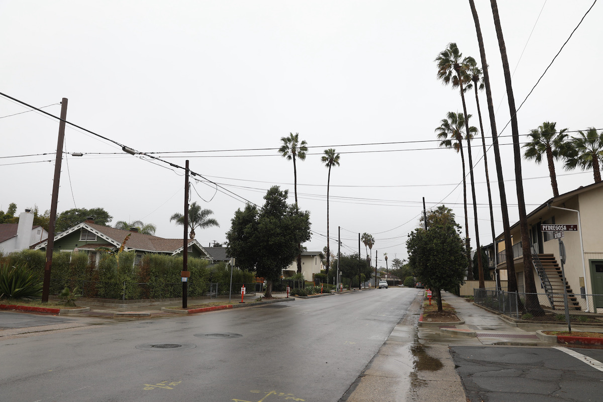
[Update: Nov. 8, 7 a.m.] The National Weather Service added a wind advisory for the Santa Ynez Mountains and the Santa Barbara south coast area early on Tuesday morning. Wind gusts of up to 40mph will make driving difficult for RVs, semi-trucks, and any other vehicle with large surface areas on the sides. Unsecured objects will blow around, affecting roads, as will falling tree limbs. Power outages may occur, the NWS predicts.
The wind advisory is in effect until 6 p.m. Tuesday and continues south across Ventura County and Los Angeles, down to the San Gabriel Valley.
Storm totals over the past 48 hours are highest at Refugio Pass, with over an inch and a half, and lowest in Carpinteria, which registered a quarter inch.
[Original Story] The rain, forecast for several days now, began to move in from Point Conception overnight on Monday with areas near Lompoc registering three-quarters of an inch by noon. Mountain areas like San Marcos Pass were up to about a third of an inch, while Santa Barbara and other coastal areas were still in the tenths of an inch.
The National Weather Service (NWS) sees more rain ahead on Tuesday, when winds in the upper altitudes will rise, pushing the clouds against the mountains and squeezing out even more rain. Slopes that face south could get as much as a half-inch of rain at times, which will create serious downslope issues in areas that recently burned, as in Los Angeles County. In Santa Barbara County, road flooding could occur in some areas, the NWS warned. Mountain rainfall totals could be 2-5 inches, while coastal areas are more like one inch.
With the rain came dropping temperatures, forecast to be in the high fifties to low sixties all week. Snow is also expected, but the previous estimates that put snow on the I-5’s Grapevine pass now expect the levels to be higher, at around 7,000 feet.
The unusually early rains come during a La Niña year, when rainfall historically has been less than Santa Barbara County’s average rainfall of eight inches in Cuyama to 36 inches at the tops of the San Rafael Mountains. So far, rainfall has been 75 percent of “normal to date,” according to the county hydrology department, and at 5 percent two months into the water year, which runs September through August. Snow in the Sierras is anticipated as well, which might help California’s drought if the snowpack continues to pile up. Lake Cachuma, which supplies much of the south county’s water, is at 31 percent full.
Correction: Total rainfall may be 2-5 inches in mountainous areas; the hourly rainfall rate is predicted to be a half-inch or less.
Support the Santa Barbara Independent through a long-term or a single contribution.


