
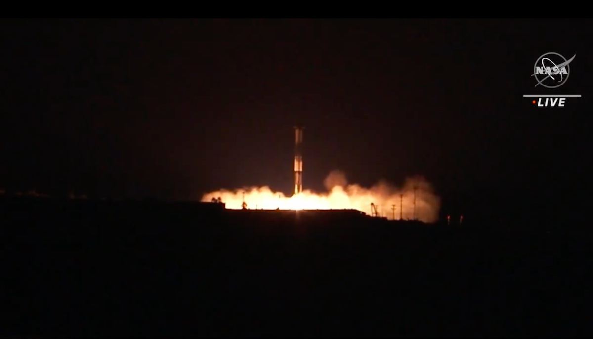
[UPDATE: Dec. 16, 2022, 10 a.m.] The water-measuring satellite launch, delayed by moisture in two engines, was declared a go by 2 p.m. on Thursday, December 15, by the teams involved. The SpaceX Falcon 9 rocket carrying the Surface Water and Ocean Topography satellite lifted off at 3:46 a.m. Pacific time from Vandenberg Space Force Base, and the first-stage booster returned successfully to its landing site. Likewise, the SWOT satellite separated from the second-stage portion of the Falcon 9 about 52 minutes after launch, and was already beginning to send signals back to its ground stations on Earth.
[Original Story] The mission to put a new Earth-gazing, water-monitoring satellite into orbit was grounded temporarily. Originally scheduled to blast off today at 3:46 a.m. Pacific time, the launch was delayed to December 16 after moisture was detected in two of the engines.
The Surface Water and Ocean Topography (SWOT) satellite is aboard a Falcon 9, one of the SpaceX rockets that launch from Vandenberg Space Force Base in northern Santa Barbara County. Two of the nine Merlin rockets in the first stage booster were found to have moisture in them once the rocket went vertical on the pad at Space Launch Complex 4 East. The satellite and weather remain favorable for the new launch time of 3:46 a.m. on Friday, according to NASA.
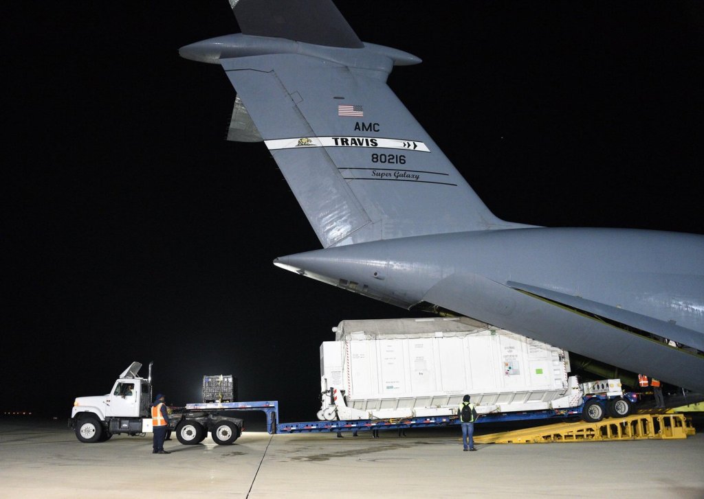
The satellite is a joint project with the French space agency Centre National d’Études Spatiales (CNES), as well as Canadian and United Kingdom agencies. Its data will continue 60 years of Earth research in visible water on the planet’s surface. SWOT has two main goals — water in the ocean and water in lakes and rivers. The satellite will measure the height of the sea surface around the world and add to the information about ocean turbulence, which have become important in understanding how the oceans absorb carbon and heat. SWOT will also survey water across rivers and lakes, where it is and where it’s going, and how water levels are changing.
The information will be made available worldwide at an Earth Information Center, said Kate Calvin, chief scientist and senior climate advisor to NASA, at an introductory press conference held earlier this week. The next set of satellites to go up will be part of an Earth System Observatory, which will provide even more information on aerosols, clouds and convection, and how the changing climate affects agriculture and other natural resources.
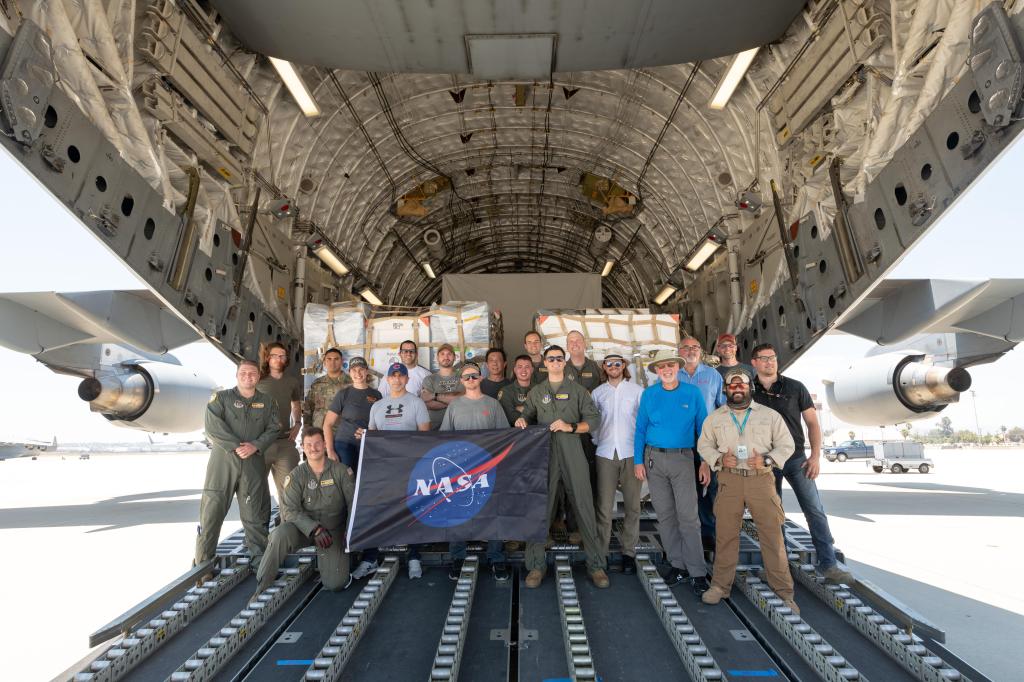
The SWOT team | Credit: NASA Jet Propulsion Laboratory 
SWOT solar panels deployed at Thales Alenia Space Facility in France | Credit: NASA Jet Propulsion Laboratory 
An illustration of SWOT in orbit | Credit: NASA Jet Propulsion Laboratory 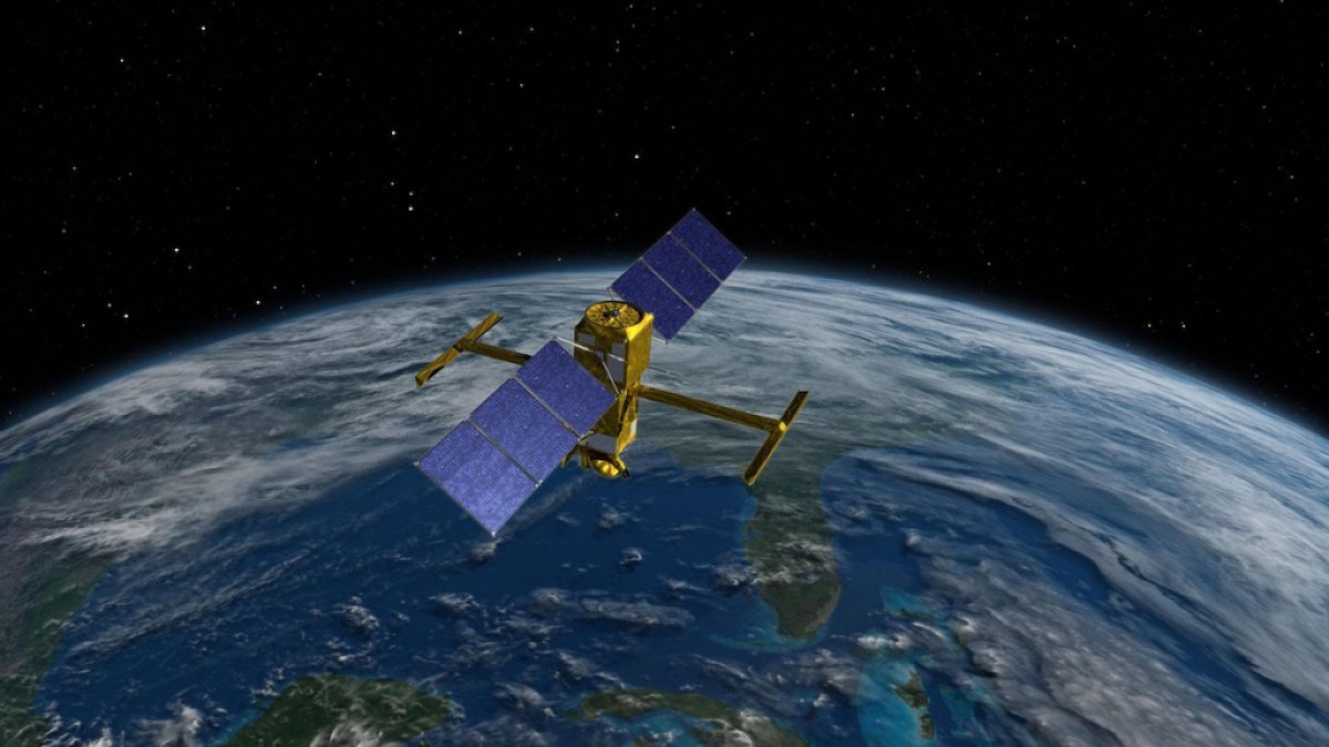
An illustration of SWOT above Earth | Credit: NASA Jet Propulsion Laboratory
Support the Santa Barbara Independent through a long-term or a single contribution.


You must be logged in to post a comment.