
Winds are blasting through the mountain passes as an unusual winter storm promises freezing or near-freezing temperatures and high winds through Wednesday morning. The National Weather Service stated the storm is likely to deliver amounts of snow down to levels not seen in decades. They’ve issued a Winter Storm Warning from 4 a.m. on Wednesday through 4 p.m. on Saturday for the mountains in Santa Barbara and San Luis Obispo counties.
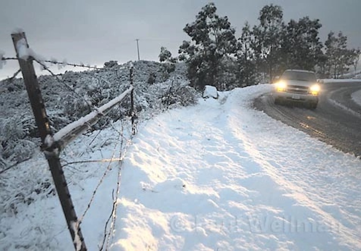
High winds and snow down to as low as 1,000 feet will occur through Wednesday, leading to a potential for trees falling and travel impacts at airports. Highways 154, or the San Marcos Pass, and 166 in Cuyama could also be affected, as well as the I-5 through the Grapevine.
Waves peaking at 13-22 feet are expected through Friday in the Channel and outer waters, and 10-18-footers will crash onto west-facing beaches through Thursday, according to the National Weather Service.
Thursday remains cold, with some showers, but a larger storm is expected Friday-Saturday. The NWS states the models show the storm blowing in across the ocean from the south, with potential rain rates of a half-inch to a full inch per hour as it arrives on Friday. As much as one to three feet of snow may fall above 3,500 feet along interior mountains. On Saturday, the front moves out but could depart with heavy showers, small hail, thunderstorms, and possible water spouts.
Sunday is expected to be calmer, the NWS stated as of 4 p.m. this afternoon, and another storm is currently expected on Monday or Tuesday.
County emergency managers warn that the strong winds could cause power outages, and for drivers to be aware that snow and rain will create slippery conditions on the road. Be prepared, they advise.


