
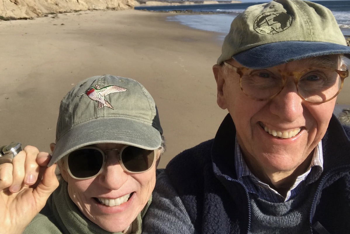
“Being a citizen requires responsibility,” entrepreneur Jack Dangermond said, “and the people of Santa Barbara — for as long as I can remember — have taken responsibility for their environment. And it’s a pleasure to see.” Dangermond and his wife, Laura Dangermond, added their own civic commitment to the community in 2016, when they donated $165 million to the Nature Conservancy to acquire the Bixby Ranch, which then-owner Baupost Group intended to develop.
It was their honeymoon that first brought the Dangermonds to the Gaviota Coast, on a camping trip almost 60 years ago. “We have pleasant personal memories of Santa Barbara,” Jack said, adding that they still enjoy coming to town, looking at the architecture, going to restaurants, and seeing the variety of plants growing here.
At Bixby — and nationwide — the Dangermonds have underwritten initiatives to propel conservation in the face of climate change, most recently in conjunction with their computerized mapping company’s abilities. CMRA, or Climate Mapping for Resilience and Adaptation, is a collaboration between the Biden-Harris administration and the Dangermonds’ Environmental Systems Research Institute (ESRI) to ensure that the Bipartisan Infrastructure Bill will be spent in places that are resilient to climate change. In 2023, they worked with Governor Newsom on CA Nature 30×30 (SB 337), which weights potential conservation areas based on priority, again underpinned by ESRI.
ESRI is the nearly ubiquitous logo seen on interactive maps and data dashboards of all types. In Santa Barbara County, planning and voting maps use ESRI’s technology. During the pandemic, Johns Hopkins created a COVID-19 map that was downloaded billions of times. The broad consumption of the visualization, replete with statistics, helped the world understand the pandemic’s spread.
“The impact of that one map was that people became literate in the spread of the disease. It scared them, it allured them, it made them aware that it wasn’t just in their hometown but that it was elsewhere and that it was moving every day,” said Dangermond. In this way, ESRI is doing much more than developing tools for specialized professionals — it is democratizing a whole segment of technology that was previously reserved for a select few.

The Dangermonds’ professional journey into map-making began in 1969 when they founded ESRI in Jack’s hometown of Redlands, California. Laura was a social scientist, and Jack was a landscape architect, but their business evolved from their work at Harvard’s Lab for Computer Graphics and Spatial Analysis. ESRI grew into a company that now serves 650,000 organizations globally, has an estimated $1 billion in revenue, and invests a third of its revenue into research and development to maintain its dominant position. Jack described this investment in R&D as ESRI’s “big secret.”
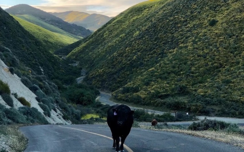
Out at the Dangermond Preserve, the new name for the former Bixby Ranch, development rights have been safeguarded into perpetuity through a conservation easement owned by the Land Trust for Santa Barbara. The preserve’s 24,000 acres at the corner of Gaviota before the coast heads northward remains owned by the Nature Conservancy.
It’s a pivotal chapter in Santa Barbara’s rich environmental history, one in which two billionaires’ pledge to support open space, community, and STEM education meets the preservation of storied ranchlands. With over 50 endangered plants and species and one million oak trees, the Dangermond Preserve is more than a scenic haven. It’s a living experiment facilitated by the Point Conception Institute, an ecology lab set up by the Nature Conservancy.
“The principle of the Point Conception Institute is open research, meaning if you come and do research, you have to leave the data you collect to be combined with the existing data,” Jack Dangermond explained. “It’s a new chapter in science, and the idea of the ‘digital twin’ — which is a digital replicate of geographic reality in the living world — was one of our original thoughts when we funded the acquisition of this property.”
According to the Point Conception Institute, only 7 percent of the California coastline is in pristine condition and protected. “There’s a lot of work to do if we want to protect California in the future,” Dangermond noted.


You must be logged in to post a comment.