

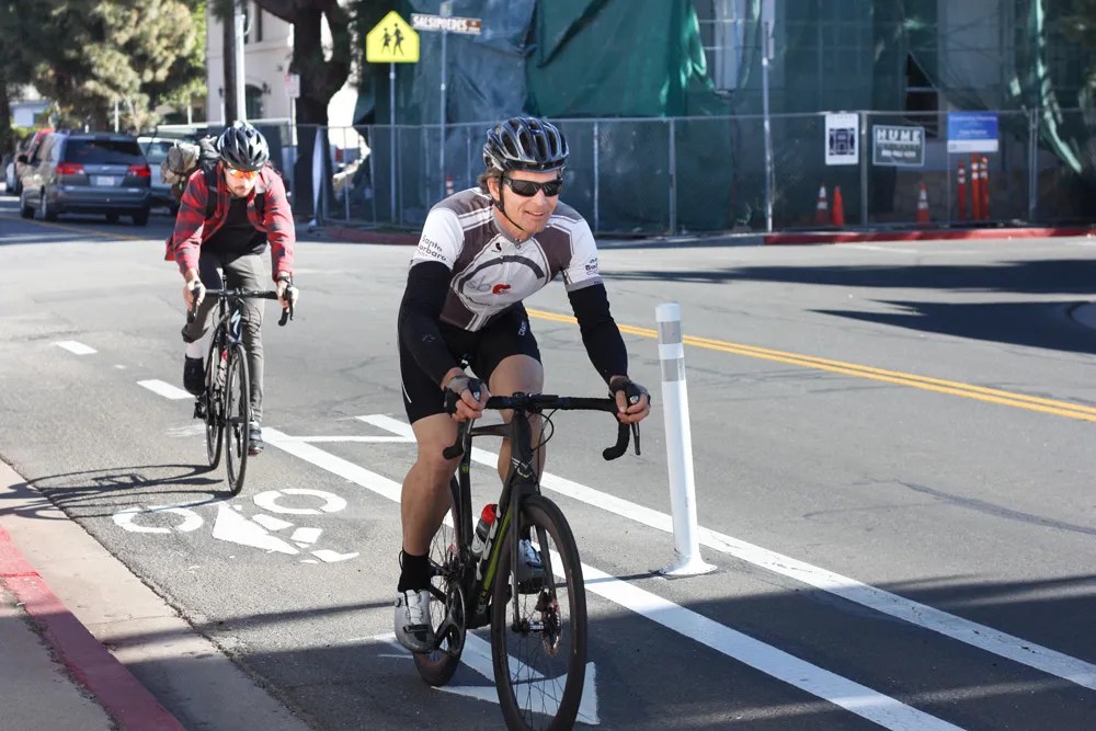
For Aaron Bonfilio, the director of multimodal programs for the Santa Barbara County Association of Governments (SBCAG), teaching his kids how to safely get across town on their bikes “has been a real eye-opener.”
The current printed bike map distributed by SBCAG was last updated in 2013, and was created by compiling routes from different projects over the years.
Now, Bonfilio and his coworkers have been working on the organization’s newest draft of their map, which was made with the help of artificial intelligence and incorporates “road-comfort” ratings.
“There are plenty of people who, if they were only informed, may get out there and decide to ride,” he said.
In collaboration with SBCAG, researchers from UCSB and Simon Fraser University in British Columbia have developed an AI model that generated a color-coded map of all of the county’s roadways.
From now until August 14, SBCAG is asking residents to check out that draft map, zoom into their neighborhoods, and leave their comments noting where the AI model may have gotten something wrong.
“The map is only as good as the information behind it,” said SBCAG Transportation Planner Peter Williamson. “The people who know our streets and neighborhoods best are the people who live, work, and ride here.”
The final version will be released by summer of 2027, and if it’s successful, the open-source AI modeling system could be used as a template for a guide that spans the state.
The map is already capable of being applied to some fitness apps, such as Strava, and there have been conversations within SBCAG on how to integrate its comfort-level layer into navigational systems such as Google Maps. The price tag for the project is just less than $550,000, the majority being paid with a $480,000 Caltrans grant.
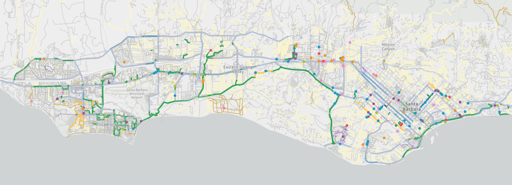
The model is programmed to source its information from an advisory committee combined with Google Street View, OpenStreetMap data, and images to identify bike lanes, paths, trails, or lack thereof.
It is specifically designed to rank rider comfort based on the amount and speed of vehicle traffic near the cycling infrastructure, though the model does not yet incorporate elevation changes or crash reports.
The question Bonfilio asks is: “Can somebody between the ages of 8 and 80 ride on this route with high comfort, medium comfort, or low comfort?”
For example, take State Street. The AI model categorizes the stretch between Anapamu down to Haley as “high comfort” because the road is closed to vehicle traffic and is designated as a bike path.
But the block below, between Haley and Gutierrez, is where the street opens to traffic with only a non-buffered bike lane, so the model marked it as “low comfort.”
When you continue under the 101 freeway, the bike lane has bollards that put distance between cyclists and vehicles, and the model bumps its rating back up to “high comfort.”
Some commenters have already made the suggestion to move the underpass down to medium comfort, with one person pointing out that the buffer is made of plastic bollards that can be knocked down by vehicles, and they consider the lane “not physically protected.”
These are the kind of comments that the planners at SBCAG want: a human-based fact checking that makes sure that streets are labeled based on real-world feel.
“The cool thing about using AI,” said Bonfilio, is that “if we decide in the future that we want to modify the model to incorporate elevation [or other data], we can change that and rerun it across the entire network.”
The second component of this project is to create what SBCAG calls a “regional wayfinding plan.” Translated, this means researchers and SBCAG will develop a color and/or iconographic system of road signs that display the comfort level of the street — much like the difficulty postings on ski slopes — which cities across the county can choose to adopt.
“We want to make biking easy for people who are not already doing it,” said Bonfilio. “Having a map that lets people know what may be comfortable to them helps remove that mystique, that barrier, that question of whether or not something is going to be unsafe or difficult for them to do.”











You must be logged in to post a comment.