
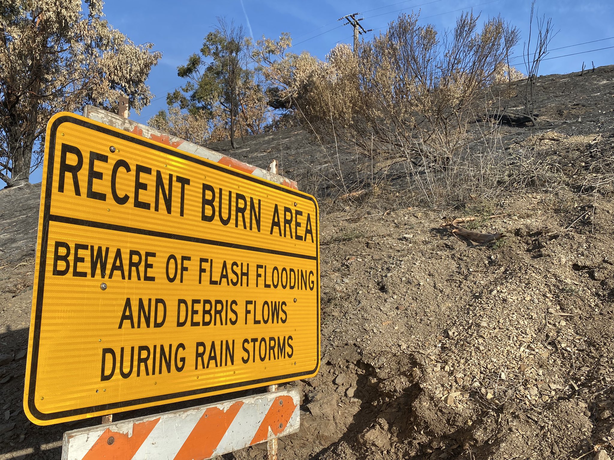
An order to evacuate goes into effect on Sunday at noon for the area of the Alisal Fire burn scar between Las Flores Canyon and Mariposa Reina, from West Camino Cielo to the sea. County emergency managers are telling residents to leave now as the rain on Monday could trigger debris flows and flash floods that could trap residents in the hills and canyons of the area, or worse, sweep them downstream. As Jon Frye with the county’s Flood Control District states in a video on flood preparation, the denuded hillsides will allow more rain to run off since there are no plants to hold it back. “The only safe way to stay out of harm’s way of a debris flow is to get out ahead of time,” he says. “We know the hillside is bare and that things are going to move.”
The Sunday morning weather forecast indicates the most intense rain will hit south-facing slopes, as along the Santa Ynez Mountains along the Gaviota Coast. The rain rate is projected to be 0.30 to 0.60 inches per hour, with a potential for one inch per hour, which can trigger debris flows. In the Montecito debris flow of 2018, two-thirds of an inch of rain (0.66) fell in five minutes when a rain cell burst over the burn scar several weeks after the Thomas Fire had cooked the mountainsides. This time around, the Gaviota Coast has had even less time to recover from the Alisal Fire, which has yet to be officially at 100 percent containment.
An evacuation center will be set up at the Wake Center at 300 North Turnpike Road. People with animals who need assistance are asked to call the Animal Services Hotline at (805) 681-4332, or the off-hours nonemergency dispatch number (805) 683-2724 and ask for the on-call animal control officer. As in past evacuations, Earl Warren Showgrounds is acting as the temporary large-animal shelter. A sandbag station is at the bottom of Refugio Road; more information is at ReadySBC.org.
The weather forecast delays the storm from previous projections, anticipating that Santa Barbara will receive gusty winds and one to three inches of rain from Sunday night into late Monday morning and through the evening. The atmospheric river of moisture streaming in from the Pacific and fueling the rain clouds is losing much of its load over more northern parts of California, according to the National Weather Service’s Eric Boldt. As it rises over the mountains, he said, the drier airmass will nonetheless have more rain squeezed out of it, although the front is expected to move eastward quickly.
Support the Santa Barbara Independent through a long-term or a single contribution.


