
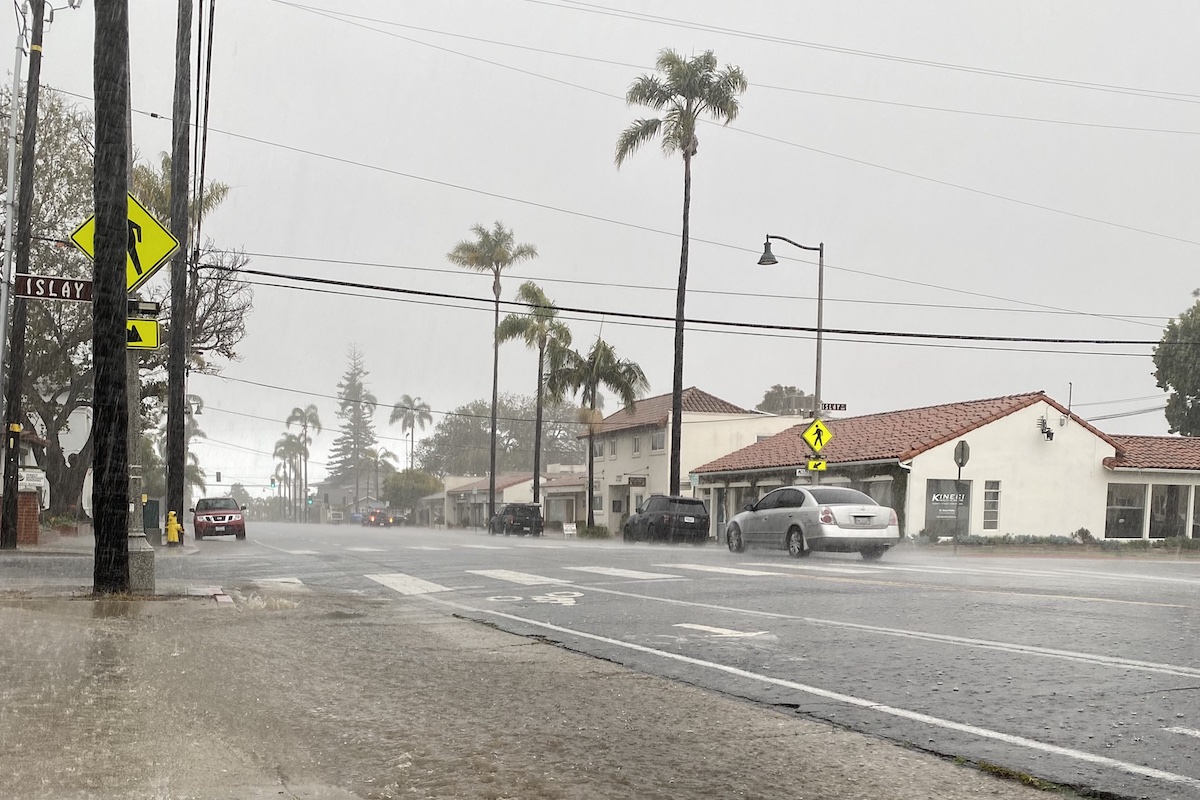
The National Weather Service (NWS) has issued a flood watch for Santa Barbara County ahead of an atmospheric-river storm system that’s expected to bring moderate to heavy rain over the next couple of days starting tomorrow, March 9. The warning is effective Thursday afternoon through early Saturday morning.
The NWS expects the atmospheric river event to drop a total of two to four inches of rain on the South Coast’s foothills and mountains, with the heaviest rains currently forecast for Friday, when there is also a chance of thunderstorms. Rain rates are expected to reach up to a half-inch to one inch per hour.
The NWS warning states that “excessive runoff may result in dangerous flooding of rivers, creeks, streams, and other low-lying and flood-prone locations,” which includes the Sisquoc River and Santa Ynez River in North County. Extensive street flooding is also likely, according to the NWS.
In a social media post Wednesday afternoon sharing news of the flood watch, the Montecito Fire Department stated that the currently predicted rain rates and totals “do not meet the threshold for debris flow risk in Montecito. Therefore, no evacuation warnings or orders are being considered for Montecito.” The department notes that a sandbag filling station will be open to the public at Lower Manning Park ahead of the storm and advises residents to “be cautious of falling rocks, mud, debris, and flooded roadways.”
The public is advised to stay alert to changing conditions and to sign up for emergency alerts at ReadySBC.org.


