This story was originally published in the Santa Barbara Green Guide, a collaboration between the Independent and Bluedot Living.
An international study using satellite imagery and artificial intelligence revealed that many of the world’s marine protected areas, otherwise known as MPAs, are largely free of industrial fishing, upending a frequent argument among critics that these exclusion zones are merely political and performative and have little benefit.
“There’s a commonly held assumption that MPAs are just ‘paper parks,’” says Gavin McDonald, a senior project scientist at UC Santa Barbara. “However, we’ve found that for fully and highly protected MPAs, this is not the case.”
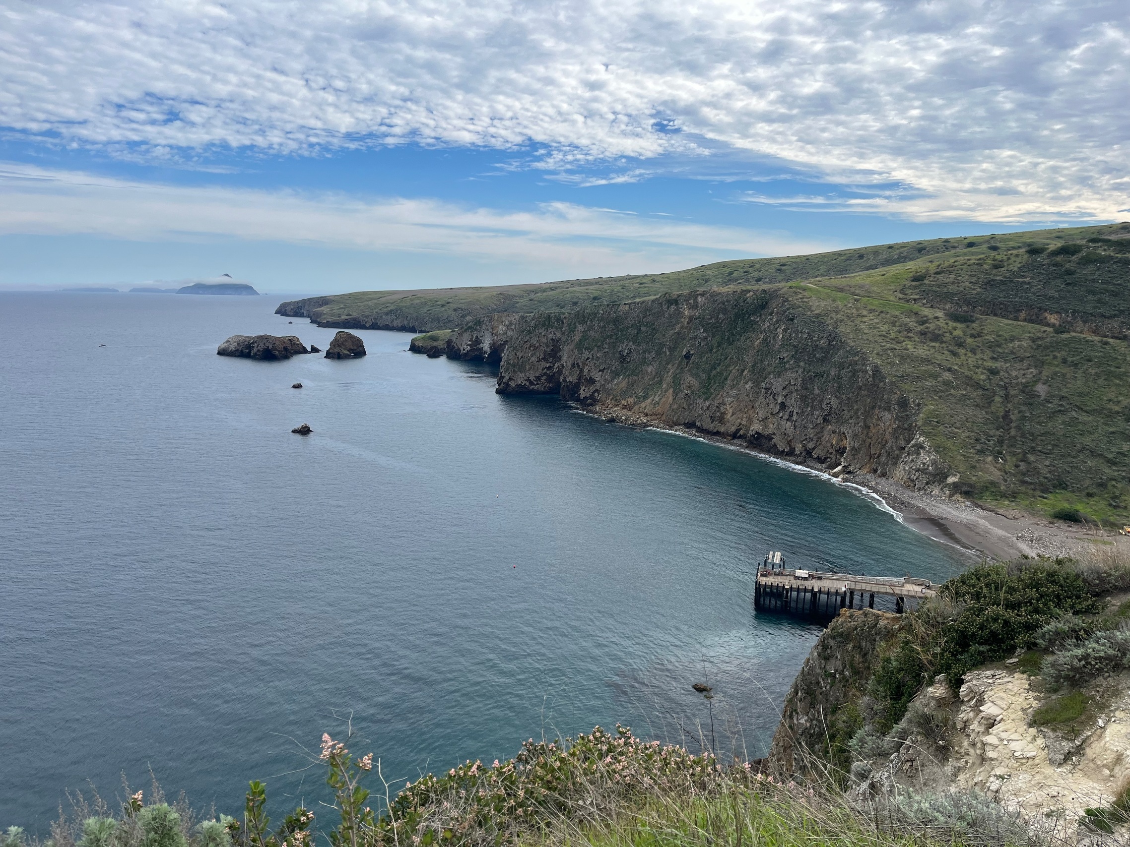
Among the hundreds of MPAs McDonald and his team studied were those around the Santa Barbara Channel Islands, as well as Australia’s Great Barrier Reef and Hawaiʻi’s Papahānaumokuākea Marine National Monument. Together, they represent around 2.1% of the planet’s oceans.
The peer-reviewed study, published this summer in the journal Science, analyzed boat activity across 1,380 MPAs that ban industrial fishing. The results were striking. Nearly 79% of the MPAs studied showed no fishing activity whatsoever. Among the remaining sites, 82% averaged less than 24 hours of activity per year.
“Honestly, I was pretty surprised,” McDonald said of the positive numbers. “Looking at that many MPAs, I assumed a good chunk would be illegally fished. So this is really encouraging.”
Illegal fishing is notoriously difficult to monitor, particularly in remote waters where enforcement resources are limited. Many industrial vessels broadcast their location using the Automatic Identification System (AIS), a GPS-based safety signal. But AIS can be disabled, manipulated, or absent altogether — creating so-called “dark vessels.”
To find these shadowy boats, the study’s researchers paired five billion AIS positions collected between 2017 and 2021 with satellite images that were created by sending radar pulses to the ocean surface and measuring the reflected signals. By combining these two datasets, which had never been done before, researchers were able to accurately pinpoint the location of vessels, regardless of cloud cover or time of day.
“No single dataset can solve the challenge of monitoring fishing activity at sea,” says Juan Mayorga, a scientist with National Geographic Pristine Seas and a co-author of the study. “Each has its blind spots. But when we combine them, their power emerges.”
Properly monitored MPAs produce spillover benefits outside their borders, as the increased biodiversity helps fish populations grow. A 2024 study showed higher catch rates of 12% to 18% in these areas. In other words, McDonald says, “The fishing industry benefits from following the rules.”
Satellite-based monitoring can also help countries predict where illegal fishing is most likely to occur, allowing them to deploy patrols more efficiently and reduce enforcement costs, a critical advantage for smaller nations.
There were a small number of exceptions to the otherwise glowing numbers. Some well-known reserves, including the Chagos Marine Reserve and the South Sandwich Islands, showed higher levels of fishing activity, highlighting the ongoing need for targeted enforcement, even in places with strong legal protections.
McDonald hopes the findings will inform future marine policy as governments work toward the Global Biodiversity Framework’s “30 by 30” target, which aims to protect 30% of the world’s oceans by 2030. He also wants to refine their two-system detection method.
“As amazing as the two data sources are, we’re still missing small boats ― those under 15 meters ― and ones made of wood or fiberglass,” McDonald says. “But there are new satellite sources coming online soon.”
Meanwhile, McDonald and his team are coming up with more ways to use space-based data and AI to tackle other environmental problems. They’re working with Global Fishing Watch to measure greenhouse gas emissions from marine vessels, potentially offering a real-time picture of emissions at sea for the very first time.
As Mayorga says, “The ocean is now no longer too big to watch.”