

After 15 days of tough firefighting, an estimate of full containment of the La Brea Fire is in sight for today, August 22.
On the fire line the heat continues to diminish as crews push again today toward the goal of full containment of the La Brea Fire. The fire has become less active with each passing day. And, though it is possible that smoke may rise from within the wilderness area for some time, infrared cameras are finding very little heat near the edge of the burn. As the major suppression operation is downsizing, surplus equipment and personnel are being released from the incident to their home units, some as far away as Pennsylvania. Remaining personnel are watching the weather intently.
An unstable air mass has moved into the area. This type of weather pattern has the potential to introduce thunderstorms with gusty winds, rain, lightning, or any combination of the three into the fire environment. The storms that passed far south of the fire area last night produced some lightning and one small fire was started but quickly extinguished by local agencies. A change in wind direction yesterday ignited an interior patch of unburned fuel that created a large column of smoke on the west end of the fire. This is anticipated to occur again today as vegetation heats up. Yesterday, very light drizzle fell occasionally on parts of the fire but it was not enough to wet any of the areas still smoldering.
Firefighters only have two miles of open fire line left in the extremely steep terrain. That terrain has been the factor for the cautious pace of the last few days. Firefighter safety is the highest priority and no unnecessary risks are taken. With that, it is possible that firefighters could be pulled off the line temporarily today if a large storm cell were to move in over the fire area. This would reduce the risk to personnel caused by the threat of lightning or flash flooding that these type of storms can bring.
Suppression line rehabilitation using fire crews, ‘dozers, and track hoe excavators is progressing with water bar construction, road culvert cleaning, and scattering vegetation on back-up fire lines that were built as a contingency, or on fire line sections where the fire is clearly out. Water bars are small berms built across the slopes to slow water and reduce erosion when the rains return.
The last evacuation warning has been lifted by the Santa Barbara County Sheriff’s Office.
The threat of scattered thunderstorms and local gusty winds continues. Winds will flow predominantly from the west at 8-14 mph with gusts up 20 mph. Temperatures will range from the mid 80s to the mid 90s. Relative humidities will range from 20-35% depending on the location.
U.S. Forest Service Special Agents, the Santa Barbara County Sheriff’s Office and fire investigators determined the La Brea Fire was caused by a cooking fire at an illegal marijuana drug trafficking operation within the forest. The La Brea Fire Tip Line is still open, and anyone with additional information helpful to this ongoing investigation is urged to contact 805-686-5074.
Due to emergency vehicle traffic and congestion on Highway 166, the public is urged to use extra caution when traveling the highway.
There is an expanded emergency closure order in effect that includes a total of 405,300 acres For more information, please contact Fire Information at (805) 961-5770 from 6am-10pm.
Resources: 39 Engines, 37 Crews, 7 Dozers, 56 Water Tenders, 8 Helicopters.
Current Situation
Total Personnel: 1,335
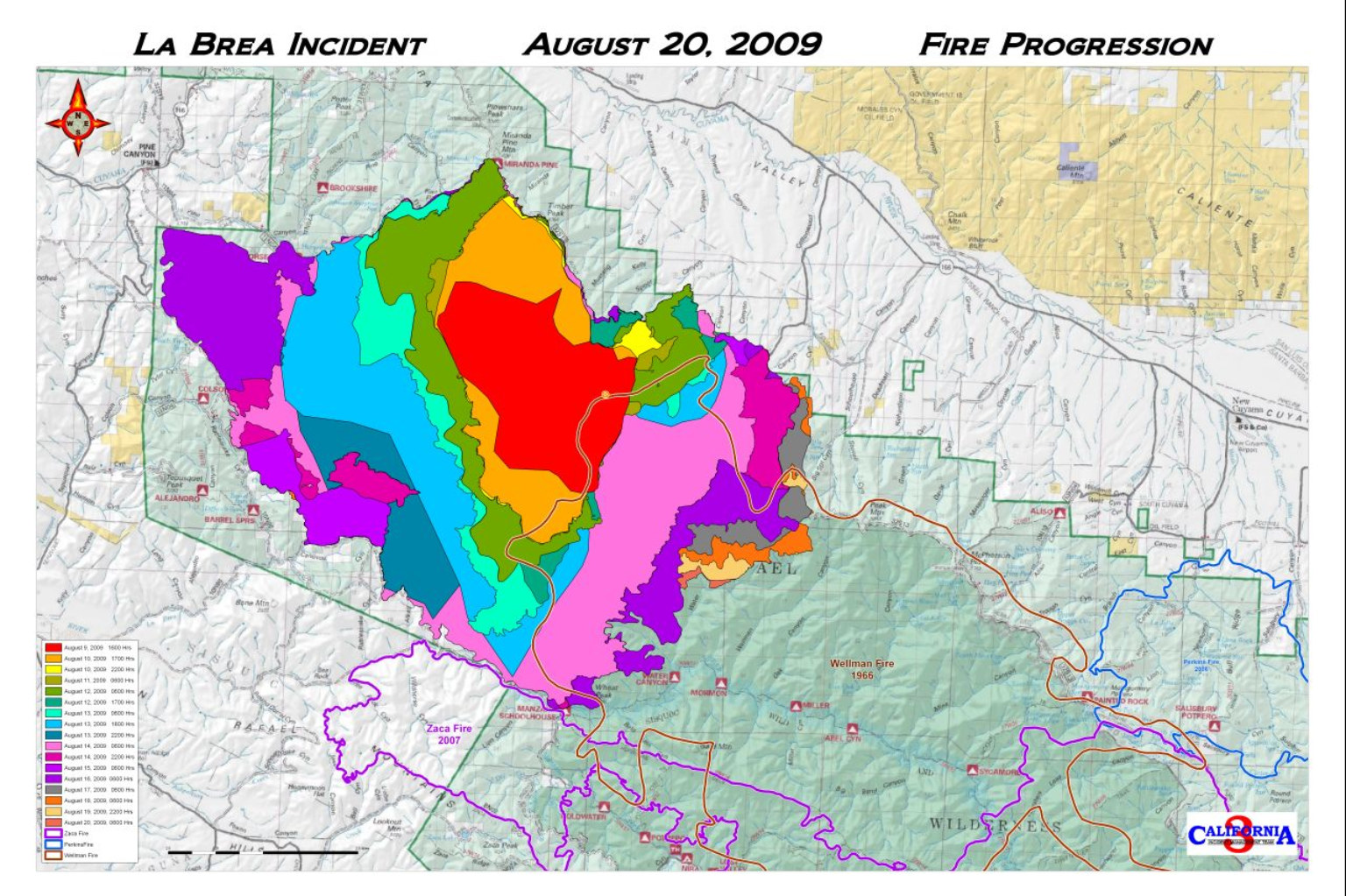
Size: 89,489 acres
Percent Contained: 96%
Estimated Containment Date: Saturday August 22nd, 2009 approx 12:00 AM
Fuels Involved: Primarily Chaparral with areas of grass and timber.
Fire Behavior: There was very little fire activity over most of the fire due to successful fire suppression activities. Isolated pockets of fuel inside containment lines continued to burn until 11:00 p.m.
Significant Events: On the southeast portion of the fire along Water Canyon, crews suppressed hot spots and cold trailed. Night resources continued to monitor, patrol and mop-up.
Outlook
Planned Actions: Air resources will continue suppression efforts on the southeast perimeter in the Water Canyon Area. Crews will continue to improve line on the southeast perimeter in the Water Canyon Area and mop-up and patrol along containment lines. Suppression rehab will continue in affected areas of the fire.
Growth Potential: High
Terrain Difficulty: Extreme
Remarks: In the wilderness area from Sierra Madre Ridge to Manzana Schoolhouse, crews are using minimal impact suppression tactics(MIST). Command of the La Brea Fire has transitioned from unified command back to the command of California Interagency Incident Management Team 3(CAIIMT3).


