

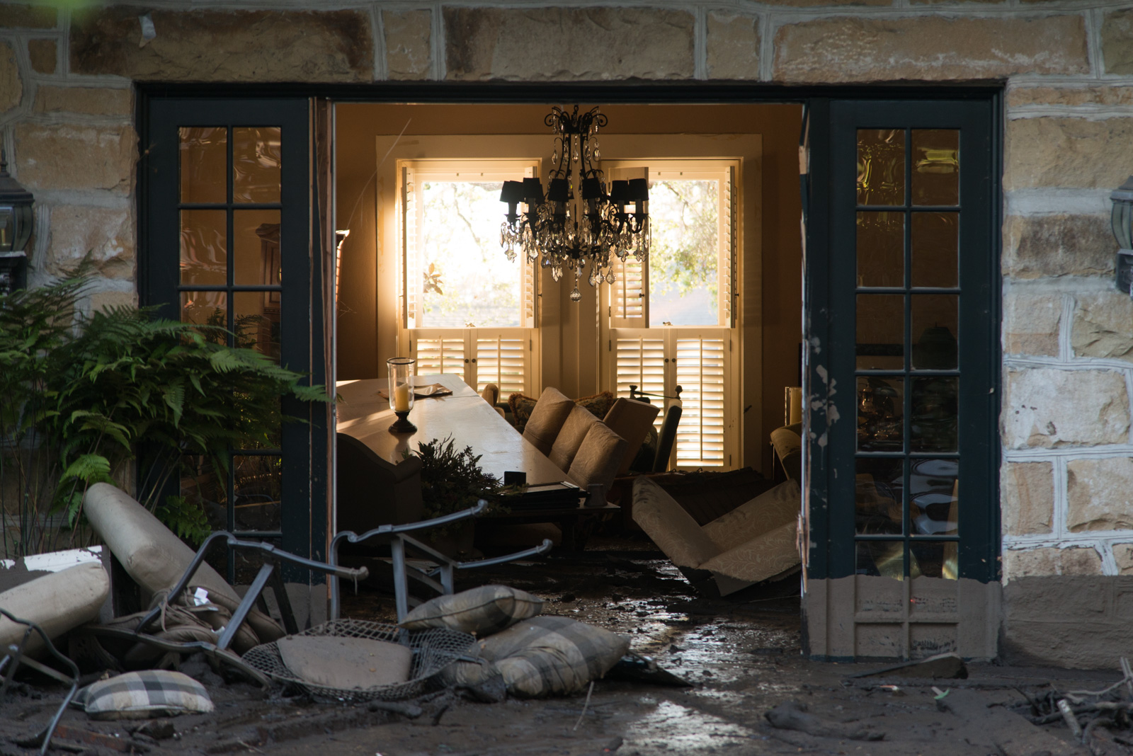
“How?” and “why?” have been the lingering questions since Montecito’s monstrous debris flow in January. How did enormous boulders cruise down overflowing creeks and land in people’s homes? Why did they land where they did? Among the residents asking those questions are three who happen to be scientists at UCSB and Pasadena’s Jet Propulsion Lab. And they are asking for the public’s help in reaching answers.
Knowing exactly when and where the mud flowed and the boulders rolled depends on getting video, photos, and audio recordings of the phenomenon, perhaps captured on cell phones or surveillance cameras. Time stamps and geotagging would make them ultimately accurate. And images from five years past are wanted, too.
“Photos of the channels within five years before the event,” Thomas Dunne said, “will be compared with our surveys of the enlarged channels.” The UCSB Bren School professor explained that measuring the now-scoured canyon bottoms and creek beds against older, geotagged photos will give a volume of boulders moved and the rate at which the flow grew as it moved downstream. Future debris flows can be estimated from such information, too.
Similarly, time-stamped images or sound recordings of the debris flow at known locations can describe the dynamics of each mudflow when combined with other data. Even the speed of travel can be calculated to show why the flood could move boulders and clogged stream channels.
Dunne knows his debris flows. He was at the University of Washington in 1980 and got into the thick of it when Mount St. Helens erupted, triggering multiple, huge debris flows. Since then he’s been around the world peering into volcanoes and examining rock and mud flows. His colleague Tom Farr has been caching satellite images with remote sensing, which can view soil levels and boulder placements from before and after the flood. “The images on the ground will help us ‘calibrate’ our interpretations of the airborne and satellite data,” Farr said of the need for help from the public.
The two are working with noted UCSB geologist Ed Keller, whose request for images soon after the disaster has generated a small collection, said Dunne. But more are needed. Dated and geotagged still and video images, and audio, of Cold Spring, Hot Springs, Montecito, San Ysidro, and Romero creeks are requested. Please email files to debrisflow@bren.ucsb.edu, with the subject line stating which creek they capture.


