
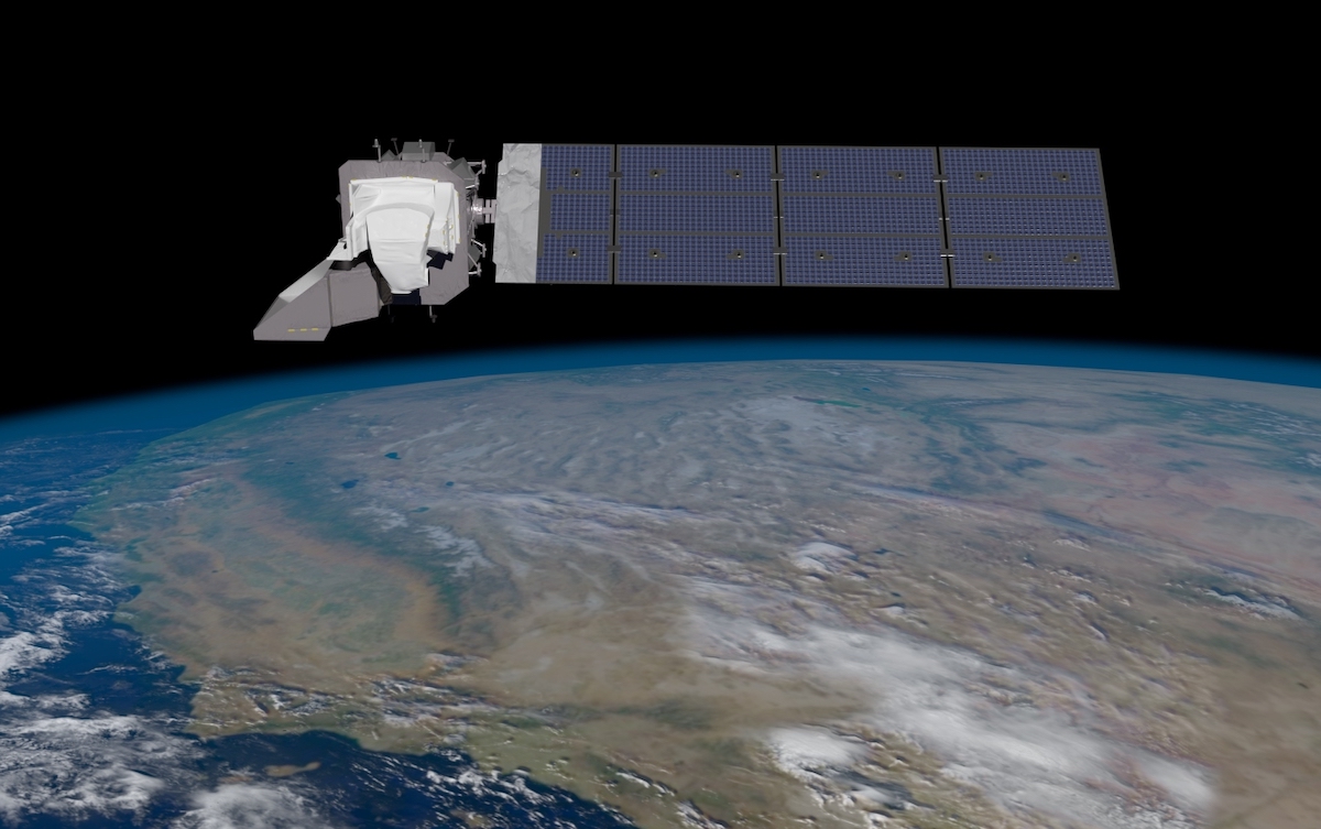
Fire plumes in California, deforestation in the Congo, drying reservoirs in Utah — images of these events when seen from above are indelible to the mind’s eye, and the photographer capturing these potent images since 1972 has been a Landsat observing satellite. The newest version — the Landsat 9 — heads into orbit this coming Monday from Vandenberg missile base in Lompoc, which will be the base’s 2,000th launch since a Thor Intermediate-Range Ballistic Missile took off on December 16, 1958.
Vandenberg officially became a base for the U.S. Space Force this past May, and had been an Air Force Base since 1958 and Camp Cooke Army Base before that since 1941. It has gradually increased the number of liftoffs since 2018, when its nine launches included one that took the InSight Lander to Mars to explore the deep interior; six lifted off in the first 10 months of this year, including one by SpaceX; four launches occurred in 2020; and three in 2019.
Leading up to Monday’s ascent, two previous launch dates were delayed, one due to high winds and another because the trucks that would carry liquid nitrogen — needed for the launch — had been repurposed to carry liquid oxygen for COVID patients. The surrounding community of Lompoc moved its Landsat 9 Launch Week accordingly, starting with a geocaching event and several others on Sunday, September 19, all leading up to a viewing party at Lompoc Airport for the launch, currently set for Monday, September 27, at 11:11 a.m.

Landsat has been circling the globe for decades, sending back spectacularly detailed images of earth-forms and most recently observing the changing planet as it cycles persistently into a warming period. A joint endeavor by NASA and the U.S. Geological Survey, Landsat 9 will replace Landsat 7, which was sent up in 1999, and join Landsat 8 in an orbit that follows the sun from pole to pole, capturing the Earth every eight days. The data was made public in 2008, and scientists, including many at UC Santa Barbara, rely on the images and thermal images collected and transmitted.

“The Landsat system has been one of the most important systems ever launched by NASA,” said Dar Roberts, a professor of geography, environmental science, and the university’s Earth Research Institute. Its strength has been the nearly unbroken record it has provided for nearly 40 years, he said, capturing parts of the Earth annually or even twice a month. He recalled his students have looked at riparian vegetation, forest degradation, and fire effects in places as local as the Santa Clara River basin and as distant as Brazil’s tropical savanna. His own research has used Landsat to analyze changes in the Los Angeles Basin water budget and urban heat, pastures in the Amazon, and wildfire burn severity and vegetation recovery in the Santa Barbara foothills.
For Qinghua Ding, who studies ice sheets over Greenland and West Antarctica as an associate professor of geography and at UCSB’s Earth Research Institute, the Landsat 9 launch meant the continuity for climate research would continue, even in remote areas of the planet. His focus has been the “cryosphere,” or the parts of the world that are frozen, and he’s seen substantial ice-sheet melting over the past 20 years. “This abrupt melting has spurred growing concerns that the climate system will approach the tipping point of a catastrophic sea-level rise over the coming decades,” he said.
“In particular, to meet carbon-neutral goals set by many countries,” he continued, “we really need a better understanding of biophysical resilience to global warming and to make good use of land processes to sequester carbon in the near future.” The Landsat launch not only enabled scientists to keep an eye on remote parts of the world, he said, but it showed a commitment by NASA to “keep investing and maintaining this campaign that is so important to our climate research.”
Support the Santa Barbara Independent through a long-term or a single contribution.


You must be logged in to post a comment.