
The Future of Electric Vehicle Charging Stations Needs Public Input

Press releases are posted on Independent.com as a free community service.
Santa Barbara, Calif. — Santa Barbara County Association of Governments wants the public’s help to identify sites for future electric vehicle charging stations. Six California central coast counties have collaborated on an interactive online mapping tool where the public can offer their valuable and necessary input.
The goal is to identify ideal locations for new public charging stations in the six counties between Ventura, Santa Cruz and San Benito Counties. Electric vehicles are essential to the fight against climate change, and more charging stations are needed to recharge vehicles, particularly in rural and traditionally underserved communities.
“Electric cars are the future of transportation and the number of these vehicles on the road continues to grow,” said SBCAG Board Chair, Das Williams. “We want to make charging as effortless as possible and need the public’s help to identify opportunities to make it even better and easier to charge on the fly.”
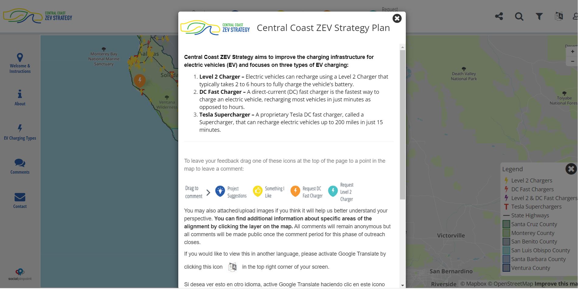
The information gathered from the interactive online mapping tool will help create the Central Coast Zero Emission Vehicle Strategy.
Santa Barbara County Association of Governments (SBCAG), Association of Monterey Bay Governments (AMBAG), and San Luis Obispo Council of Governments (SLOCOG), along with Ventura, Santa Barbara, San Luis Obispo, Monterey Santa Cruz, and San Benito counties have partnered to develop the strategy.
The public can find more information on the Central Coast Zero Emission Vehicle Strategy at www.centralcoastzevstrategy.com.
The Central Coast Zero Emission Vehicle Strategy needs public input on the interactive mapping tool to accelerate the adoption of zero emission vehicles in the region. There are different types of charging stations and popular locations for them like rest areas, retail venues, restaurants, libraries, community centers, beaches, parks. Feedback on the map identifies the needs of communities.
The interactive mapping tool is live and available to the public through October 2022 at www.bit.ly/CCZEV. A quick video tutorial on how to use the interactive mapping tool is also available at www.bit.ly/InteractiveMapVideo