
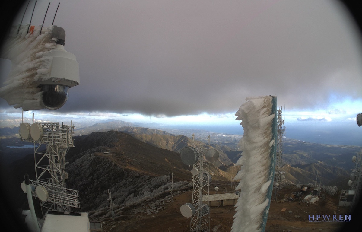
Blizzards in Santa Barbara County? Yep. The National Weather Service forecast reads, “The big show starts Friday” as rain cruises in off the ocean, and the San Rafaels — which include Figueroa and Big Pine mountains in the county’s interior — disappear in a blizzard warning for 4 a.m. on Friday through 4 p.m. on Saturday. Winds will gust up to 65 mph. One to three feet of snow could fall above 3,500 feet, down to six inches at the 1,000-foot level. The travel advisory — and people are advised not to travel — includes a winter survival kit made up of lights, food, and water if an emergency calls motorists out into the weather.
On the coast, snow could fall down to the 4,000-foot level. Rain rates could be as high as 1 to 1.25 inches per hour at the height of the storm expected Friday through Saturday, said Ariel Cohen, a meteorologist with the National Weather Service. Overall, 2-5 inches of rain are expected in Santa Barbara.
In Ventura and Los Angeles, however, as much as 5-10 inches of rain are possible, leading to concerns about flooding during peak periods. A blizzard warning is also in effect for Ventura and Los Angeles County mountains with greater snow totals as high as seven feet at elevations above 4,000 feet. Wind gusts are predicted of up to 75 mph in the passes and mountains.
Sunday still looks to be dry, with more rain and snow due Monday through Wednesday in the 2 o’clock forecast.


