
Hundreds of residents across southern Santa Barbara County were ordered to evacuate Tuesday morning as another atmospheric river arrived in town, closing most schools in the area and bringing the threat of flooding and debris flows near the Alisal, Cave, and Thomas fire burn scars (click here for a map of the evacuation areas).
The rainstorm coming in off the ocean and being blown into Santa Barbara County sped up overnight, reducing the expected rain totals from eight inches in the hills to maybe six. A high level of ground saturation will cause creeks, rivers, and reservoirs to rise, even on Wednesday as the runoff arrives downstream, emergency managers reported to the County Board of Supervisors on Tuesday morning.
“The forecast predictions at this point are a little less than last night,” said Sheriff Bill Brown, “but we’re on track for the heaviest rain expected at 11 o’clock today.” Deputies had been knocking on doors in all the recent burn scar areas until midnight, and Brown said an audible notice had been given via helicopter along the riverbeds and bridges.
Eric Boldt with the National Weather Service in Oxnard has been answering phone calls all morning, and he said the speed of the storm had always been uncertain with this one. He thought it was going to be about as mild as Friday’s rains, with the most intense downpours starting at around 11 a.m. and lasting through to about 5 p.m.
“We’re still going to see 5-6 inches in the foothills and a little lower totals overall,” Boldt said. “But the soils are still pretty saturated from last week’s storms, and it’s not going to take much more rain for flooding and runoff to get going.”
Shortly after 11 a.m., the National Weather Service issued a flood advisory for much of the county, which remains in effect until 4:15 p.m. today and is in addition to the countywide flood watch issued earlier this week. In a tweet announcing the advisory, the NWS warn, “Flooding of roadways, creeks, and streams are expected. In addition, there is a significant threat of rock/mudslides, especially in mountains and canyon roadways.”
County Fire Chief Mark Hartwig told the supervisors that about 100 more staff, hand crews, heavy equipment crews, and the Firehawk with hoist capability were on hand, as well as high-clearance vehicles at Earl Warren and prepositioned in low-lying areas.
“We’re asking the public to be prudent in their activities today,” Hartwig said. “Rescues are needed when people get too close to the water or misjudge the power of the water they’re too close to.” He recited the state warning for drivers to avoid standing water of unknown depth: “Turn around; don’t drown.” Call 9-1-1 if you do kill your engine with water, he advised.
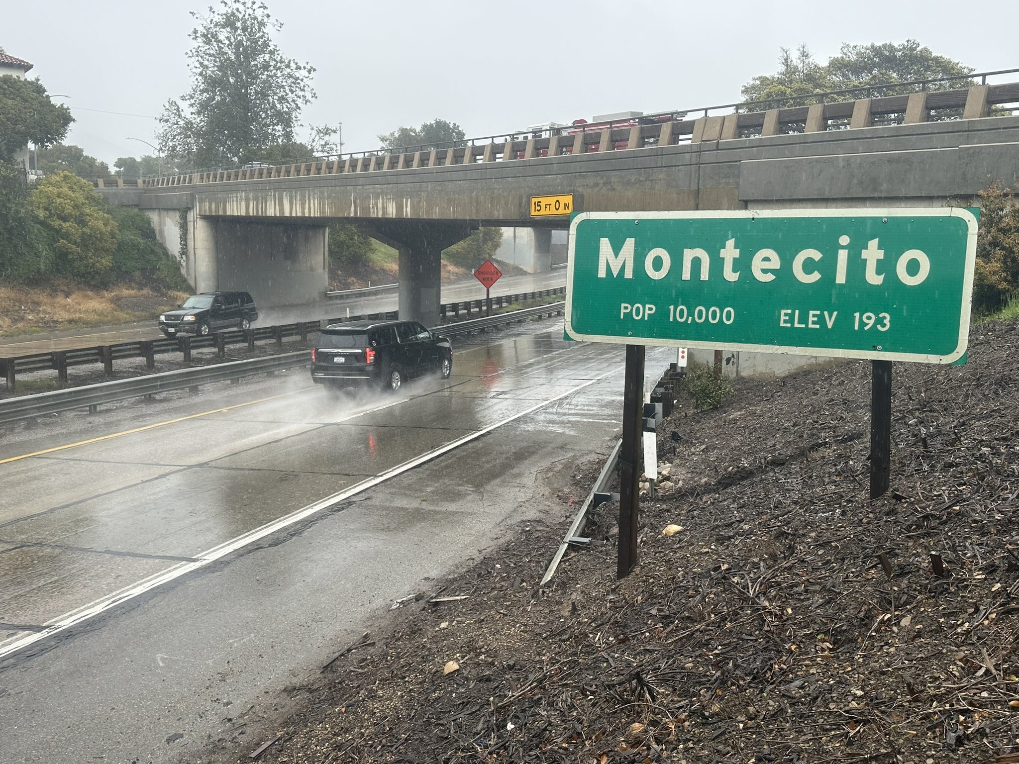
The supervisors held their session this morning in both Santa Barbara and Santa Maria, in deference to staying off the roads. In Santa Maria, the head of County Public Works, Walter Rubalcava, stated that they were keeping an eye on the same creeks that were problematic during the January storm on the South Coast — the creeks in Montecito and Mission Creek through downtown — and Twitchell and Cachuma reservoirs were releasing water ahead of the rising Cuyama, Sisquoc, Santa Maria, and Santa Ynez rivers.
Supervisor Bob Nelson noted his 4th District community in North County preferred to keep the water in Twitchell, which was 52.7 percent full this morning, for groundwater recharge. Rubalcava responded that it was a balancing act for the Army Corps of Engineers and the Santa Maria Water Conservation District — which run Twitchell — and his department. “Quite a bit of inflow is forecasted into Twitchell, and we need to do some releases or the spillway would be uncontrolled,” Rubalcava said. Nelson quantified the amount of water at six times the normal flow and that the downstream results could be catastrophic.
“This isn’t Walter’s fault,” Supervisor Steve Lavagnino quipped. “He took over after a seven-year drought.”
Evacuation orders are still in effect for burn scar areas for the Alisal, Cave, and Thomas fires. County Emergency Manager Kelly Hubbard warned that Wednesday’s runoff would be significant for areas near creeks and tributaries. A shelter was open on Tuesday at the Wake Center (300 N. Turnpike Rd.), and anyone in the North County — where there is no evacuation order, but a warning for Pioneer Road in Guadalupe — needing shelter can call (833) 688-5551 or check ReadySBC.org for information. Similarly, no large animal shelter has been called for, but animal owners can call Animal Services at (805) 681-4332 if they need assistance.
For the latest storm info, visit the county’s winter storm page.
Correction: The headline and first paragraph of this story were updated to clarify that number of residents evacuated was in the hundreds not thousands.


