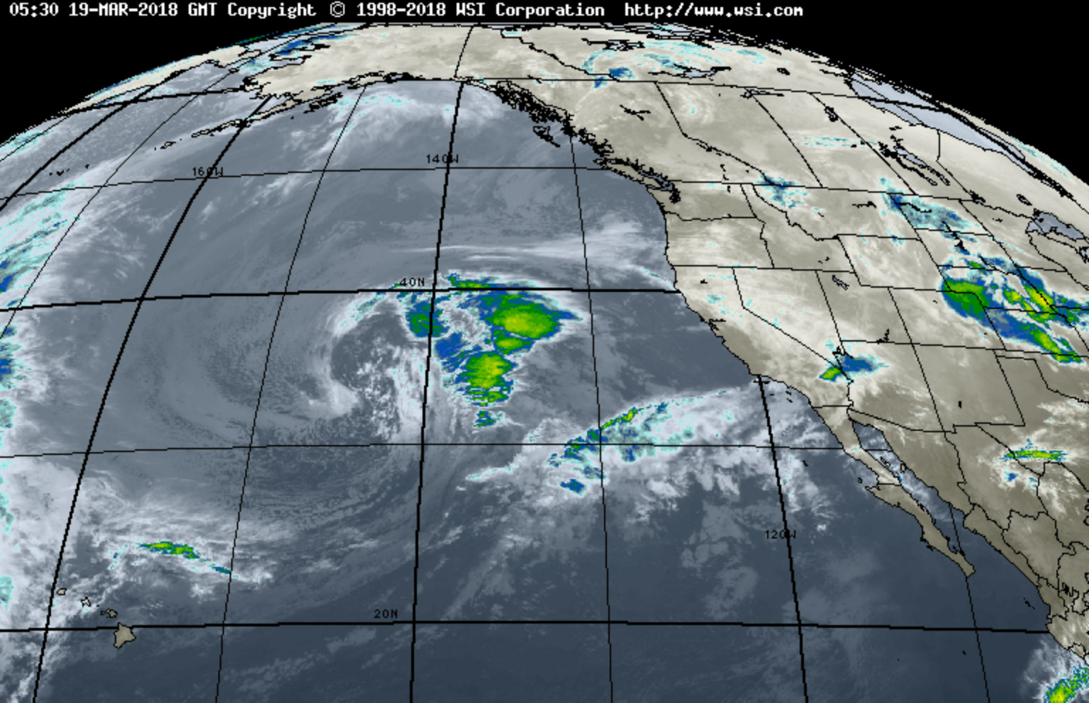
A forecast on Saturday predicted that the incoming rainstorm set to hit Santa Barbara Tuesday night is biggest since the January 9 deluge that triggered deadly debris flows across Montecito. In response, Santa Barbara County public-safety officials have issued a pre-evacuation advisory for the areas below the burn scars of the Thomas, Sherpa, Whittier, and Alamo fires.
“This is the time to prepare for evacuation within the next 72 hours for anyone who lives near a burn area in Santa Barbara County,” according to a statement from the Office of Emergency Management. “The National Weather Service forecast indicates there is the potential for a prolonged period of moderate to heavy rainfall, with highest rainfall intensities expected to occur sometime between late Tuesday night, March 20, through early Thursday, March 22. During this time, rainfall rates will likely exceed thresholds and bring the threat of significant flash flooding and debris flows. The forecast currently is indicating rainfall rates of .5 to .75 inches per hour.”
More information is available at ReadySBC.org, where residents are also encouraged to sign up for Santa Barbara County Aware & Prepare emergency alerts. Mobile users can access the debris flow risk map here.