
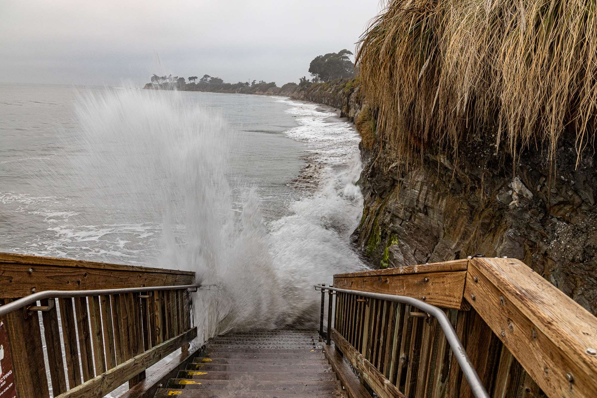
With warnings to beware of high waves, the California King Tides Project asks citizen scientists to photograph the shoreline against recognizable landmarks with a larger object in mind: showing the results of climate change before they happen. Tides of a foot or two higher than usual are forecast for Sunday and Monday, November 15 and 16, and the photos gathered will give some idea of how the coast will be altered when the seas rise.
The thickening blanket of warm air encircling the Earth continues to trap heat, warming the oceans and causing the waters to expand. It also causes increased ice melt at the poles and at glaciers and ice sheets. The atmospheric changes — chiefly blamed on increased carbon dioxide from the burning of fossil fuels such as coal, petroleum, and natural gas or methane — were first measured at Mauna Loa Observatory in Hawai’i in 1958, before the connection between a warming planet and a changing climate was recognized worldwide. The carbon dioxide level in 1958 was around 315 parts per million. It was 409 ppm in 2019, and preliminarily averaged 411 ppm for October 2020.
For the past 10 years, the project has utilized the alignment of the sun, moon, and Earth — which is what causes the extra-large tides — to photograph and document what climate models are predicting. Santa Barbara’s south-facing coastline is projected to experience a sea-level rise of 6.6 feet by 2100.
Instructions to download photographs are available at the Coastal Commission’s “How to Participate” page. And if you miss November’s King Tides, December 13-15 holds another opportunity. Also, for areas north of Point Conception, another set of King Tides takes place January 11-12, 2021.


